
buildingChurchville, Virginia
Intervale
National Register of Historic Places listed placeVirginia Historic Landmark
TypebuildingColonial Revival
Built–
Best monthsApr · Sep–Octweather in Churchville
38.20° N, 79.19° WUTC−4 · Eastern Daylight Time
When to goChurchville · weather score
Best timeApr · Sep–Oct
October: high / low67° / 43°
iAbout
Intervale in brief
Intervale is a building in Churchville, Virginia, United States.
It holds the designations National Register of Historic Places listed place and Virginia Historic Landmark.
The building is built in the Colonial Revival style.
For a visit, the weather in Churchville is best in April, September and October; in October afternoons average 67°.
Facts
- Type
- building
- Designation
- National Register of Historic Places listed place
- Virginia Historic Landmark
- Style
- Colonial Revival
- Nearest town
- Churchville
- Region
- Virginia
- Coordinates
- 38.19750, -79.18920
iiLocation
Where to find it
iiiWhen to visit
Climate guideWeather in Churchville
Month score for sightseeing
Best Apr · Sep–Oct37
Jan
35
Feb
44
Mar
72
Apr
64
May
56
Jun
48
Jul
52
Aug
75
Sep
80
Oct
54
Nov
35
Dec
Around here
Churchville and around

Nature
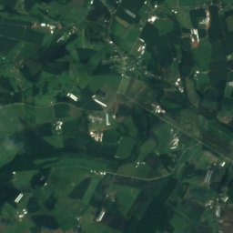
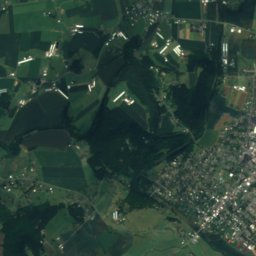
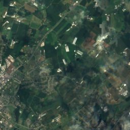
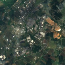
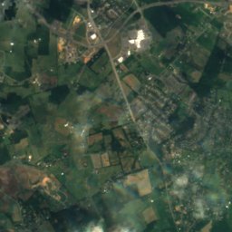
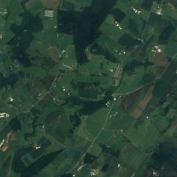
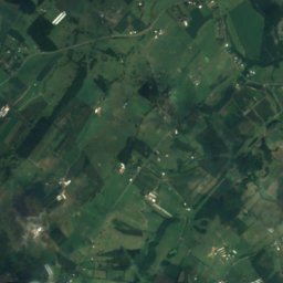
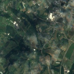
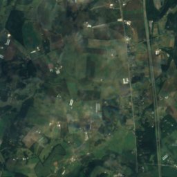
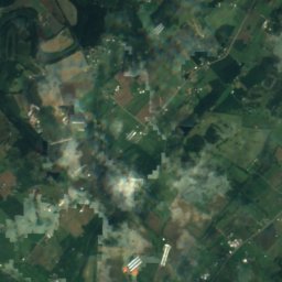
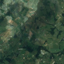
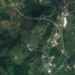
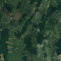
Satellite: Sentinel-2 cloudless 2016 by EOX IT Services GmbH · CC BY 4.0 · Contains modified Copernicus Sentinel data 2016
North River (South Fork Shenandoah River tributary)
River
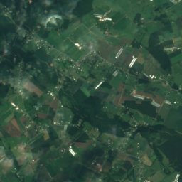
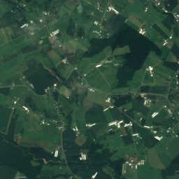
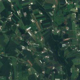
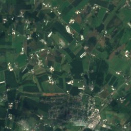
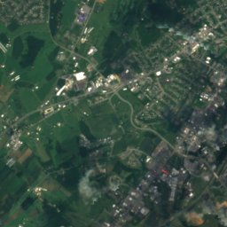
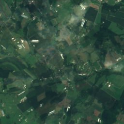
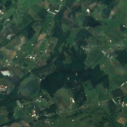
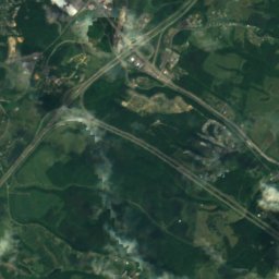
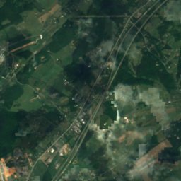
Satellite: Sentinel-2 cloudless 2016 by EOX IT Services GmbH · CC BY 4.0 · Contains modified Copernicus Sentinel data 2016
Dry River, Virginia
River
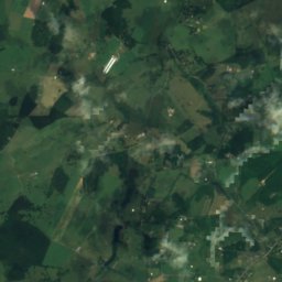
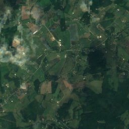
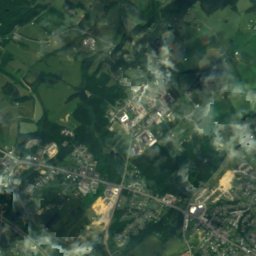
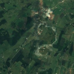
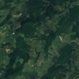
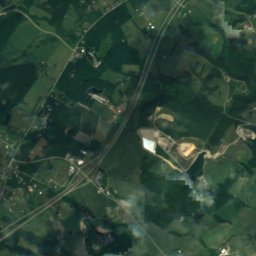
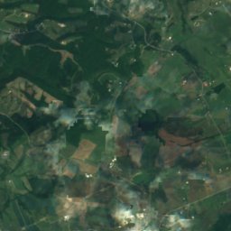
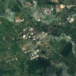
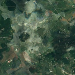
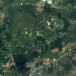
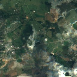
Satellite: Sentinel-2 cloudless 2016 by EOX IT Services GmbH · CC BY 4.0 · Contains modified Copernicus Sentinel data 2016
Christians Creek
River
Mountains


Photo: Ben Schumin from Montgomery Village, Maryland, USA · CC BY-SA 2.0 · Wikimedia CommonsReport this photo · linked, not stored
Humpback Rock
3,080 ft · Blue Ridge Mountains
Heritage


Virginia School for the Deaf and the Blind
Virginia Historic Landmark · 1838

Stuart Hall School
National Register of Historic Places listed place · 1844
Museums


Satellite: Sentinel-2 cloudless 2016 by EOX IT Services GmbH · CC BY 4.0 · Contains modified Copernicus Sentinel data 2016