
Photo: KForce at the English Wikipedia · CC BY-SA 3.0 · Wikimedia Commons
DrumthwacketReport this photo · linked, not stored
DrumthwacketReport this photo · linked, not stored

Photo: Zeete · CC BY-SA 3.0 · Wikimedia Commons
King's Highway Historic DistrictReport this photo · linked, not stored
King's Highway Historic DistrictKing's Highway Historic DistrictReport this photo · linked, not stored

Photo: Zeete · CC BY-SA 4.0 · Wikimedia Commons
Princeton University Graduate CollegeReport this photo · linked, not stored
Princeton University Graduate CollegePrinceton University Graduate CollegeReport this photo · linked, not stored

Photo: Dmadeo · CC BY-SA 3.0 · Wikimedia Commons
Albert Einstein HouseReport this photo · linked, not stored
Albert Einstein HouseAlbert Einstein HouseReport this photo · linked, not stored

Photo: Daderot · CC BY-SA 3.0 · Wikimedia Commons
Princeton BattlefieldReport this photo · linked, not stored
Princeton BattlefieldPrinceton BattlefieldReport this photo · linked, not stored
buildingPrinceton, New Jersey
Drumthwacket
National Register of Historic Places listed place
TypebuildingGreek Revival
Built–
Best monthsApr · Sep–Octweather in Princeton
40.34° N, 74.67° WUTC−4 · Eastern Daylight Time
When to goPrinceton · weather score
Best timeApr · Sep–Oct
October: high / low66° / 44°
iAbout
Drumthwacket in brief
Drumthwacket is a building in Princeton, New Jersey, United States.
It holds the designation National Register of Historic Places listed place.
The building is built in the Greek Revival style.
For a visit, the weather in Princeton is best in April, September and October; in October afternoons average 66°.
Facts
- Type
- building
- Designation
- National Register of Historic Places listed place
- Style
- Greek Revival
- Nearest town
- Princeton
- Region
- New Jersey
- Coordinates
- 40.33917, -74.67472
iiLocation
Where to find it
ivNearby
All monuments in the United StatesMore heritage close by
King's Highway Historic District
0.2 mi N
National Register of Historic Places listed place
Princeton University Graduate College
0.5 mi E
National Register of Historic Places contributing property

Photo: KForce at en.wikipedia · CC BY-SA 3.0 · Wikimedia CommonsReport this photo · linked, not stored
Morven Museum & Garden
0.7 mi NE
National Historic Landmark

Around here
Princeton and around

Nature


Photo: Chemicalinterest (talk) · Public domain · Wikimedia CommonsReport this photo · linked, not stored
Simonson Brook
River · 49 ft
Mountains
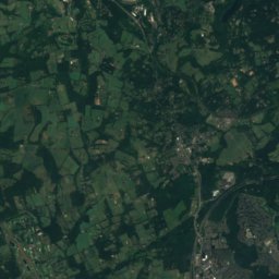
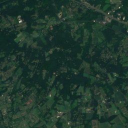
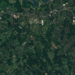
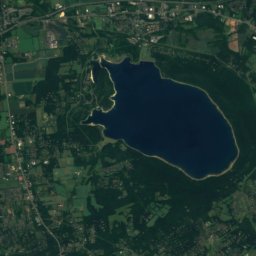
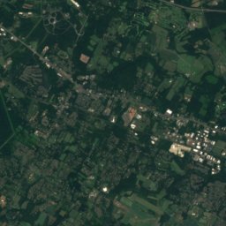
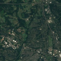
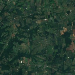
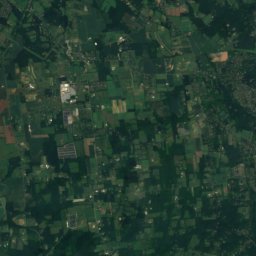
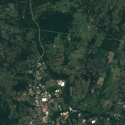
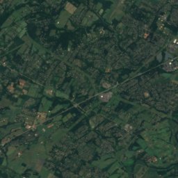
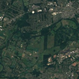
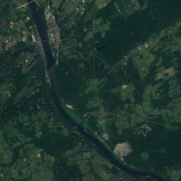
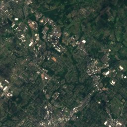
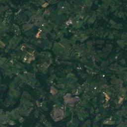
Satellite: Sentinel-2 cloudless 2016 by EOX IT Services GmbH · CC BY 4.0 · Contains modified Copernicus Sentinel data 2016
Cushetunk Mountain
834 ft

Photo: Lithium6ion at English Wikipedia · Public domain · Wikimedia CommonsReport this photo · linked, not stored
Sourland Mountain
568 ft
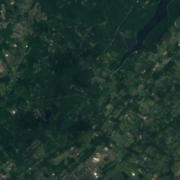
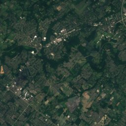
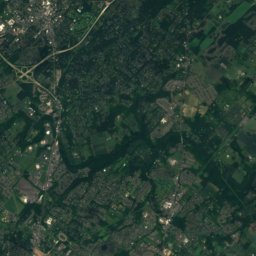
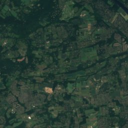
Satellite: Sentinel-2 cloudless 2016 by EOX IT Services GmbH · CC BY 4.0 · Contains modified Copernicus Sentinel data 2016
Buckingham Mountain
520 ft
Heritage

President's House, Princeton
National Register of Historic Places listed place · 1756


Princeton United Methodist Church
National Register of Historic Places contributing property · 1911


