
Photo: JERRYE & ROY KLOTZ, M.D. · CC BY-SA 4.0 · Wikimedia Commons
CornucopiaReport this photo · linked, not stored
CornucopiaReport this photo · linked, not stored

Photo: JERRYE & ROY KLOTZ, M.D. · CC BY-SA 4.0 · Wikimedia Commons
Fairview, Chesapeake CityReport this photo · linked, not stored
Fairview, Chesapeake CityFairview, Chesapeake CityReport this photo · linked, not stored

Photo: Jerrye & Roy Klotz, MD · CC BY-SA 4.0 · Wikimedia Commons
Gov. Benjamin T. Biggs FarmReport this photo · linked, not stored
Gov. Benjamin T. Biggs FarmGov. Benjamin T. Biggs FarmReport this photo · linked, not stored

Photo: JERRYE & ROY KLOTZ, M.D. · CC BY-SA 4.0 · Wikimedia Commons
Woodside, Chesapeake CityReport this photo · linked, not stored
Woodside, Chesapeake CityWoodside, Chesapeake CityReport this photo · linked, not stored

Photo: Acroterion · CC BY-SA 4.0 · Wikimedia Commons
Old Lock Pump House, Chesapeake and Delaware CanalReport this photo · linked, not stored
Old Lock Pump House, Chesapeake and Delaware CanalOld Lock Pump House, Chesapeake and Delaware CanalReport this photo · linked, not stored
buildingChesapeake City, Maryland
Cornucopia
National Register of Historic Places listed place
TypebuildingGreek Revival
Built–
Best monthsApr · Sep–Octweather in Chesapeake City
39.53° N, 75.77° WUTC−4 · Eastern Daylight Time
When to goChesapeake City · weather score
Best timeApr · Sep–Oct
October: high / low67° / 48°
iAbout
Cornucopia in brief
Cornucopia is a building in Chesapeake City, Maryland, United States.
It holds the designation National Register of Historic Places listed place.
The building is built in the Greek Revival style.
For a visit, the weather in Chesapeake City is best in April, September and October; in October afternoons average 67°.
Facts
- Type
- building
- Designation
- National Register of Historic Places listed place
- Style
- Greek Revival
- Nearest town
- Chesapeake City
- Region
- Maryland
- Coordinates
- 39.52560, -75.77390
iiLocation
Where to find it
iiiWhen to visit
Climate guideWeather in Chesapeake City
Month score for sightseeing
Best Apr · Sep–Oct35
Jan
33
Feb
37
Mar
72
Apr
69
May
55
Jun
44
Jul
50
Aug
74
Sep
77
Oct
53
Nov
31
Dec
ivNearby
All monuments in the United StatesMore heritage close by
Photo: JERRYE & ROY KLOTZ, M.D. · CC BY-SA 4.0 · Wikimedia CommonsReport this photo · linked, not stored
Fairview, Chesapeake City
0.6 mi E
National Register of Historic Places listed place
Photo: Jerrye & Roy Klotz, MD · CC BY-SA 4.0 · Wikimedia CommonsReport this photo · linked, not stored
Gov. Benjamin T. Biggs Farm
1.7 mi SE
National Register of Historic Places listed place
Photo: JERRYE & ROY KLOTZ, M.D. · CC BY-SA 4.0 · Wikimedia CommonsReport this photo · linked, not stored
Woodside, Chesapeake City
1.7 mi SE
National Register of Historic Places listed place
Old Lock Pump House, Chesapeake and Delaware Canal
2.0 mi W
National Register of Historic Places listed place


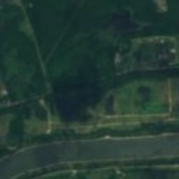
Satellite: Sentinel-2 cloudless 2016 by EOX IT Services GmbH · CC BY 4.0 · Contains modified Copernicus Sentinel data 2016
Poplar Hall, Chesapeake City
2.1 mi N
National Register of Historic Places listed place

South Chesapeake City Historic District
2.1 mi W
National Register of Historic Places listed place
Around here
Chesapeake City and around

Chesapeake City
Maryland · United States
Apr · Sep–Octbest months
87°July high
26 ftaltitude
Nature

Photo: The original uploader was Delanman at English Wikipedia. · CC BY 3.0 · Wikimedia CommonsReport this photo · linked, not stored
Bohemia River
River
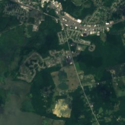
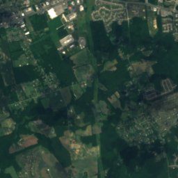
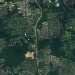
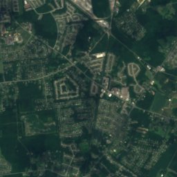
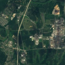
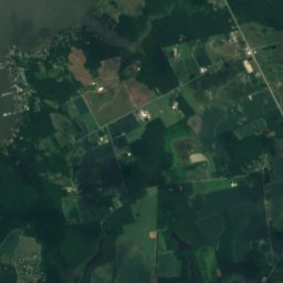
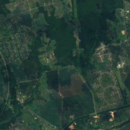
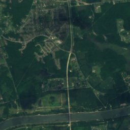
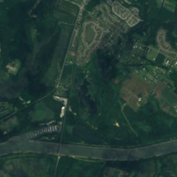
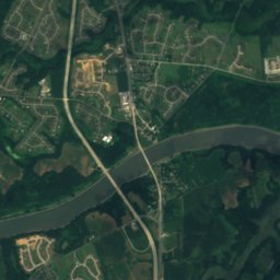
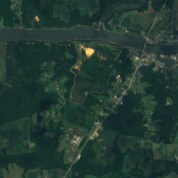
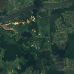
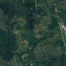
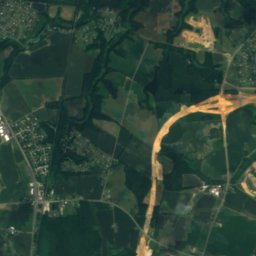
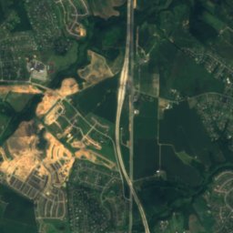
Satellite: Sentinel-2 cloudless 2016 by EOX IT Services GmbH · CC BY 4.0 · Contains modified Copernicus Sentinel data 2016
Lums Pond
Lake · 62 ft
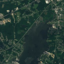
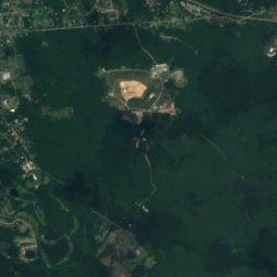
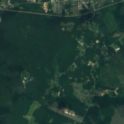
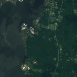
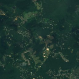

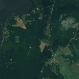
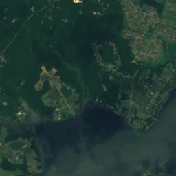
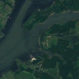
Satellite: Sentinel-2 cloudless 2016 by EOX IT Services GmbH · CC BY 4.0 · Contains modified Copernicus Sentinel data 2016
Emily Point Disposal Area Lake
Lake
Mountains
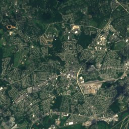
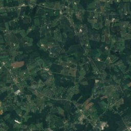
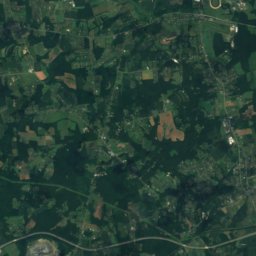
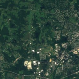
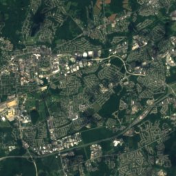
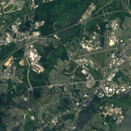
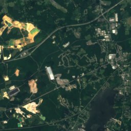
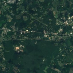
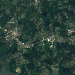
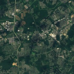
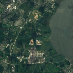
Satellite: Sentinel-2 cloudless 2016 by EOX IT Services GmbH · CC BY 4.0 · Contains modified Copernicus Sentinel data 2016
Iron Hill, Delaware
328 ft
Heritage
Old Lock Pump House, Chesapeake and Delaware Canal
National Register of Historic Places listed place
South Chesapeake City Historic District
National Register of Historic Places listed place

Photo: JERRYE & ROY KLOTZ, M.D. · CC BY-SA 4.0 · Wikimedia CommonsReport this photo · linked, not stored
Biddle House
National Register of Historic Places listed place
Museums


Satellite: Sentinel-2 cloudless 2016 by EOX IT Services GmbH · CC BY 4.0 · Contains modified Copernicus Sentinel data 2016