
Photo: Lumos3 · CC BY-SA 4.0 · Wikimedia Commons
Roughdown CommonReport this photo · linked, not stored
Roughdown CommonReport this photo · linked, not stored

Photo: Julian Osley · CC BY-SA 2.0 · Wikimedia Commons
Church of St John the Evangelist and Attached Church HallReport this photo · linked, not stored
Church of St John the Evangelist and Attached Church HallChurch of St John the Evangelist and Attached Church HallReport this photo · linked, not stored

Photo: Dudley Miles · CC BY-SA 4.0 · Wikimedia Commons
Shrubhill CommonReport this photo · linked, not stored
Shrubhill CommonShrubhill CommonReport this photo · linked, not stored

Photo: Tom Presland · CC BY-SA 2.0 · Wikimedia Commons
Westbrook HayReport this photo · linked, not stored
Westbrook HayWestbrook HayReport this photo · linked, not stored
HeritageBourne End, England
Roughdown Common
Site of Special Scientific Interest
TypeHeritage site
Built–
Best monthsJun · Aug–Sepweather in Bourne End
51.74° N, 0.48° WUTC+0 · Greenwich Mean Time
When to goBourne End · weather score
Best timeJun · Aug–Sep
October: high / low15° / 8°
iAbout
Roughdown Common in brief
Roughdown Common is a heritage site in Bourne End, England, United Kingdom.
It holds the designation Site of Special Scientific Interest.
For a visit, the weather in Bourne End is best in June, August and September; in October afternoons average 15°.
Facts
- Designation
- Site of Special Scientific Interest
- Nearest town
- Bourne End
- Region
- England
- Coordinates
- 51.74020, -0.48500
iiLocation
Where to find it
iiiWhen to visit
Climate guideWeather in Bourne End
Month score for sightseeing
Best Jun · Aug–Sep16
Jan
23
Feb
30
Mar
49
Apr
64
May
67
Jun
65
Jul
67
Aug
73
Sep
45
Oct
22
Nov
19
Dec
ivNearby
All monuments in the United KingdomMore heritage close by
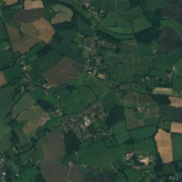
Church of St John the Evangelist and Attached Church Hall
0.7 km NE
Grade II listed building
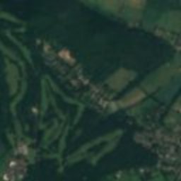
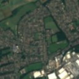
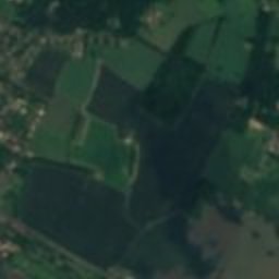
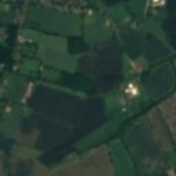
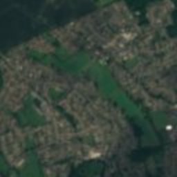
Satellite: Sentinel-2 cloudless 2016 by EOX IT Services GmbH · CC BY 4.0 · Contains modified Copernicus Sentinel data 2016
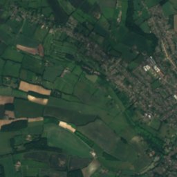
The Bury
2.1 km N
Grade II* listed building
Satellite: Sentinel-2 cloudless 2016 by EOX IT Services GmbH · CC BY 4.0 · Contains modified Copernicus Sentinel data 2016
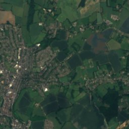
Charter Tower
2.2 km N
Grade II* listed building
Satellite: Sentinel-2 cloudless 2016 by EOX IT Services GmbH · CC BY 4.0 · Contains modified Copernicus Sentinel data 2016
St Mary's Church, Hemel Hempstead
2.3 km NE
Grade I listed building
Around here
Bourne End and around

Nature
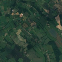
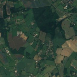
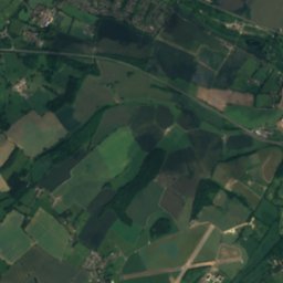
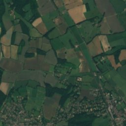
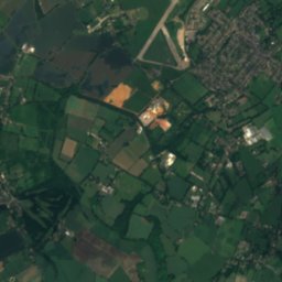
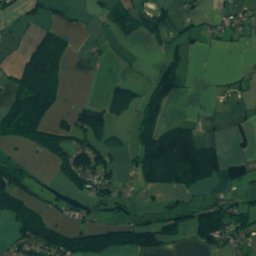
Satellite: Sentinel-2 cloudless 2016 by EOX IT Services GmbH · CC BY 4.0 · Contains modified Copernicus Sentinel data 2016
River Chess
River
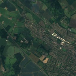
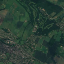
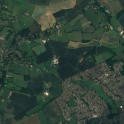
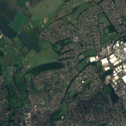
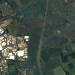
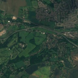
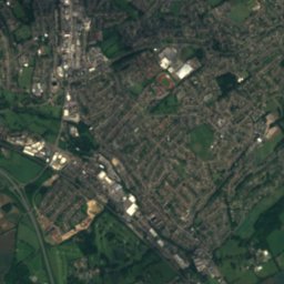
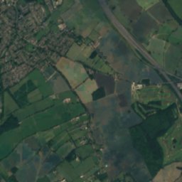
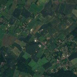
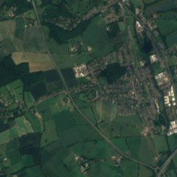
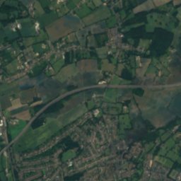
Satellite: Sentinel-2 cloudless 2016 by EOX IT Services GmbH · CC BY 4.0 · Contains modified Copernicus Sentinel data 2016
River Bulbourne
River
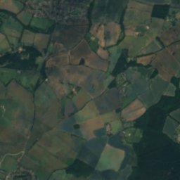
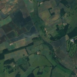
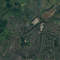
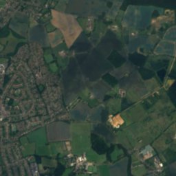
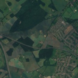
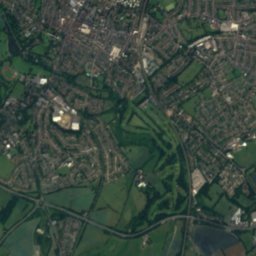
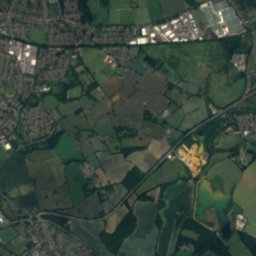
Satellite: Sentinel-2 cloudless 2016 by EOX IT Services GmbH · CC BY 4.0 · Contains modified Copernicus Sentinel data 2016
Verulamium Lake
Lake
Heritage


Satellite: Sentinel-2 cloudless 2016 by EOX IT Services GmbH · CC BY 4.0 · Contains modified Copernicus Sentinel data 2016
Ashlyns Hall
Grade II* listed building · 1900
Museums
Satellite: Sentinel-2 cloudless 2016 by EOX IT Services GmbH · CC BY 4.0 · Contains modified Copernicus Sentinel data 2016
Frogmore Paper Mill
Heritage centre
Satellite: Sentinel-2 cloudless 2016 by EOX IT Services GmbH · CC BY 4.0 · Contains modified Copernicus Sentinel data 2016
Dacorum Heritage
1979


Satellite: Sentinel-2 cloudless 2016 by EOX IT Services GmbH · CC BY 4.0 · Contains modified Copernicus Sentinel data 2016
Natural History Museum at Tring
Natural history museum · 1889