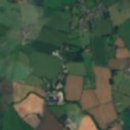
Satellite: Sentinel-2 cloudless 2016 by EOX IT Services GmbH · CC BY 4.0 · Contains modified Copernicus Sentinel data 2016

Photo: John Lord · CC BY-SA 2.0 · Wikimedia Commons
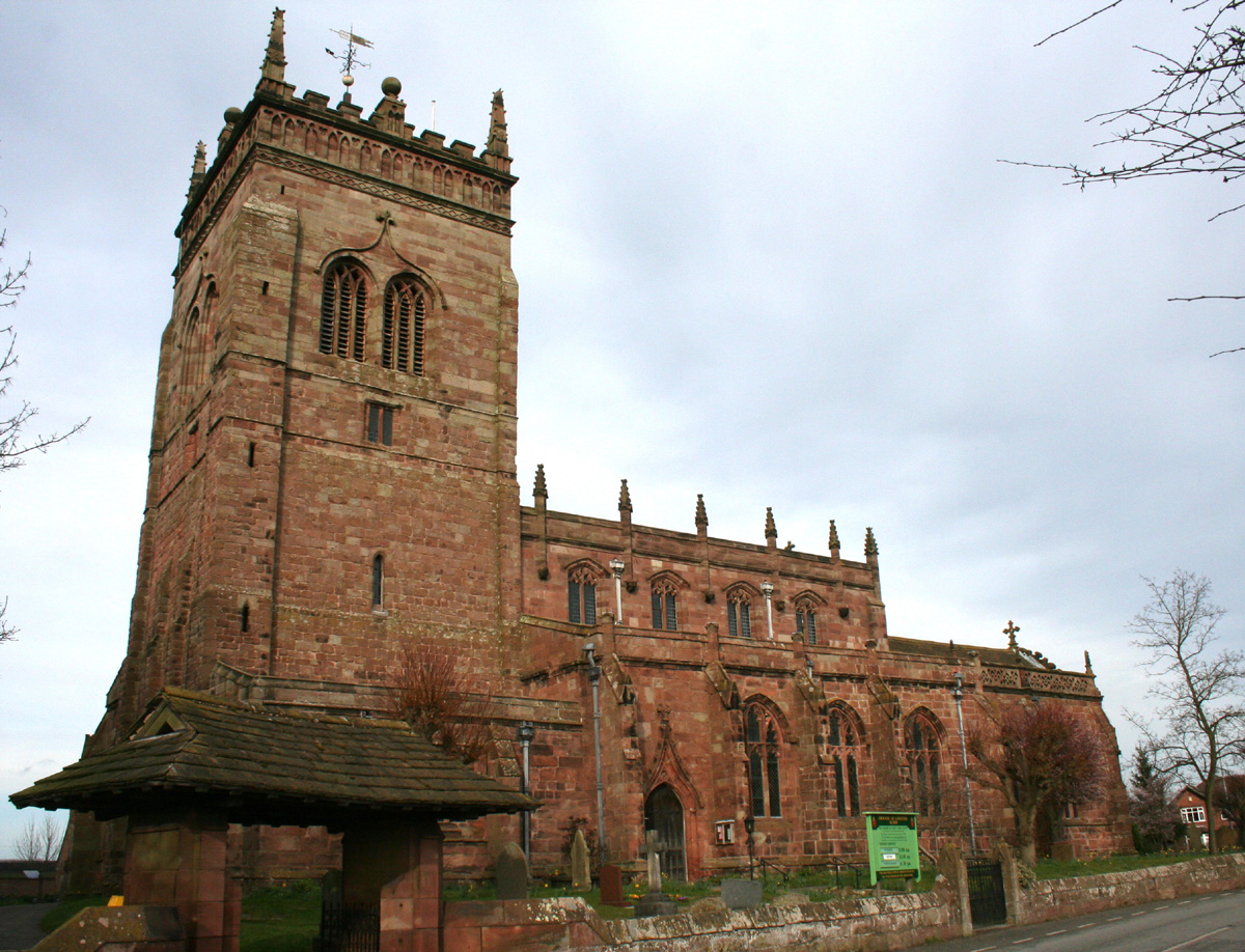
St Peter's Church, AdderleyReport this photo · linked, not stored
St Peter's Church, AdderleySt Peter's Church, AdderleyReport this photo · linked, not stored

Photo: Dave.Dunford · Public domain · Wikimedia Commons
Moss HallReport this photo · linked, not stored
Moss HallMoss HallReport this photo · linked, not stored

Photo: Dave.Dunford · CC BY-SA 4.0 · Wikimedia Commons
Ball FarmhouseReport this photo · linked, not stored
Ball FarmhouseBall FarmhouseReport this photo · linked, not stored
English country houseAdderley, England
Highfields
Grade I listed building
TypeEnglish country house
Built–
Best monthsJul–Sepweather in Adderley
52.97° N, 2.49° WUTC+0 · Greenwich Mean Time
When to goAdderley · weather score
Best timeJul–Sep
October: high / low14° / 7°
iAbout
Highfields in brief
Highfields is an english country house in Adderley, England, United Kingdom.
It holds the designation Grade I listed building.
For a visit, the weather in Adderley is best in July, August and September; in October afternoons average 14°.
iiLocation
Where to find it
iiiWhen to visit
Climate guideWeather in Adderley
Month score for sightseeing
Best Jul–Sep16
Jan
19
Feb
20
Mar
38
Apr
54
May
61
Jun
62
Jul
62
Aug
63
Sep
40
Oct
18
Nov
16
Dec
ivNearby
All monuments in the United KingdomMore heritage close by
Satellite: Sentinel-2 cloudless 2016 by EOX IT Services GmbH · CC BY 4.0 · Contains modified Copernicus Sentinel data 2016
Audlem Baptist Church
2.9 km NW
Grade II listed building
Satellite: Sentinel-2 cloudless 2016 by EOX IT Services GmbH · CC BY 4.0 · Contains modified Copernicus Sentinel data 2016
St James' Church, Audlem
3.0 km NW
Grade I listed building
Satellite: Sentinel-2 cloudless 2016 by EOX IT Services GmbH · CC BY 4.0 · Contains modified Copernicus Sentinel data 2016
Oakley Hall, Norton in Hales
4.8 km SE
Grade II* listed building
Around here
Adderley and around
Nature


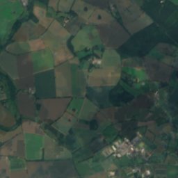
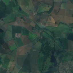
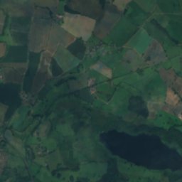
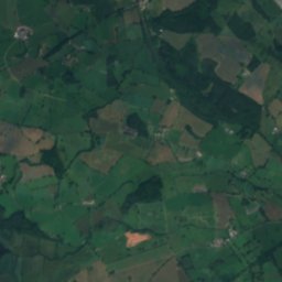
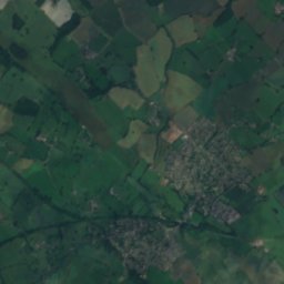
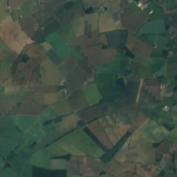
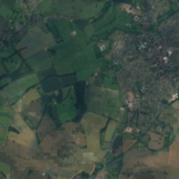
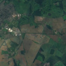
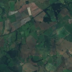
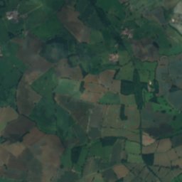
Satellite: Sentinel-2 cloudless 2016 by EOX IT Services GmbH · CC BY 4.0 · Contains modified Copernicus Sentinel data 2016
Aqualate Mere
Lake · 67 m
Mountains

Photo: The original uploader was Chrisbayley at English Wikipedia. · CC BY-SA 2.5 · Wikimedia CommonsReport this photo · linked, not stored
The Wrekin
407 m · Shropshire Hills
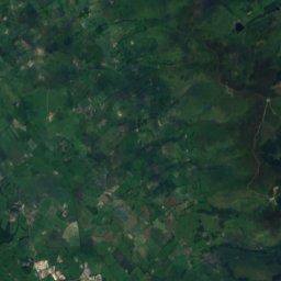
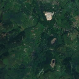
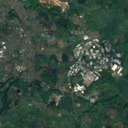
Satellite: Sentinel-2 cloudless 2016 by EOX IT Services GmbH · CC BY 4.0 · Contains modified Copernicus Sentinel data 2016
Cefn, Gwersyllt
213 m
Satellite: Sentinel-2 cloudless 2016 by EOX IT Services GmbH · CC BY 4.0 · Contains modified Copernicus Sentinel data 2016
Windy Hill
174 m
Heritage
Satellite: Sentinel-2 cloudless 2016 by EOX IT Services GmbH · CC BY 4.0 · Contains modified Copernicus Sentinel data 2016
St Peter's Church, Adderley
Grade I listed building · 1635

Museums
Satellite: Sentinel-2 cloudless 2016 by EOX IT Services GmbH · CC BY 4.0 · Contains modified Copernicus Sentinel data 2016
Hack Green Secret Nuclear Bunker
Military museum
Satellite: Sentinel-2 cloudless 2016 by EOX IT Services GmbH · CC BY 4.0 · Contains modified Copernicus Sentinel data 2016
Nantwich Museum
Local museum · 1980


