

Photo: Ruth Sharville · CC BY-SA 2.0 · Wikimedia Commons
Malmsmead BridgeReport this photo · linked, not stored
Malmsmead BridgeMalmsmead BridgeReport this photo · linked, not stored
protected areaOare, England
Glenthorne
Site of Special Scientific Interest
Typeprotected area
Built–
Best monthsJul–Sepweather in Oare
51.23° N, 3.72° WUTC+0 · Greenwich Mean Time
When to goOare · weather score
Best timeJul–Sep
October: high / low14° / 9°
iAbout
Glenthorne in brief
Glenthorne is a protected area in Oare, England, United Kingdom. Site of Special Scientific Interest.
It holds the designation Site of Special Scientific Interest.
For a visit, the weather in Oare is best in July, August and September; in October afternoons average 14°.
iiLocation
Where to find it
iiiWhen to visit
Climate guideWeather in Oare
Month score for sightseeing
Best Jul–Sep15
Jan
19
Feb
18
Mar
31
Apr
42
May
56
Jun
63
Jul
62
Aug
60
Sep
37
Oct
19
Nov
15
Dec
ivNearby
All monuments in the United KingdomMore heritage close by
Satellite: Sentinel-2 cloudless 2016 by EOX IT Services GmbH · CC BY 4.0 · Contains modified Copernicus Sentinel data 2016
Church of St Mary, Oare
2.4 km S
Grade II* listed building
Satellite: Sentinel-2 cloudless 2016 by EOX IT Services GmbH · CC BY 4.0 · Contains modified Copernicus Sentinel data 2016
Culbone Stone
4.0 km SE
scheduled monument




Satellite: Sentinel-2 cloudless 2016 by EOX IT Services GmbH · CC BY 4.0 · Contains modified Copernicus Sentinel data 2016
Culbone Church
4.5 km E
Grade I listed building













Satellite: Sentinel-2 cloudless 2016 by EOX IT Services GmbH · CC BY 4.0 · Contains modified Copernicus Sentinel data 2016
Lynmouth Foreland Lighthouse
4.8 km W
Grade II listed building
Around here
Oare and around

Nature


Mountains





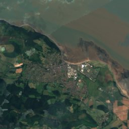
Satellite: Sentinel-2 cloudless 2016 by EOX IT Services GmbH · CC BY 4.0 · Contains modified Copernicus Sentinel data 2016
Dunkery Beacon
520 m

Satellite: Sentinel-2 cloudless 2016 by EOX IT Services GmbH · CC BY 4.0 · Contains modified Copernicus Sentinel data 2016
Mynydd Baedan
251 m
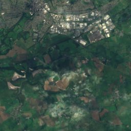
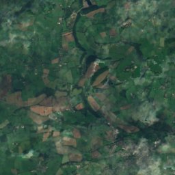
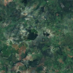
Satellite: Sentinel-2 cloudless 2016 by EOX IT Services GmbH · CC BY 4.0 · Contains modified Copernicus Sentinel data 2016
Cefn Hirgoed
142 m
Heritage

Satellite: Sentinel-2 cloudless 2016 by EOX IT Services GmbH · CC BY 4.0 · Contains modified Copernicus Sentinel data 2016
Church of St Mary, Oare
Grade II* listed building





Satellite: Sentinel-2 cloudless 2016 by EOX IT Services GmbH · CC BY 4.0 · Contains modified Copernicus Sentinel data 2016
Exmoor National Park
International Dark Sky Reserve · 1954
Museums

West Somerset Rural Life Museum and Victorian School
Local museum · 1984
Satellite: Sentinel-2 cloudless 2016 by EOX IT Services GmbH · CC BY 4.0 · Contains modified Copernicus Sentinel data 2016
Dovery Manor Museum
Local museum






Satellite: Sentinel-2 cloudless 2016 by EOX IT Services GmbH · CC BY 4.0 · Contains modified Copernicus Sentinel data 2016
Holnicote Estate
Historic house museum