Satellite: Sentinel-2 cloudless 2016 by EOX IT Services GmbH · CC BY 4.0 · Contains modified Copernicus Sentinel data 2016

Photo: Dbown100 · CC BY 3.0 · Wikimedia Commons
Church of St Mary the Virgin, Isle AbbottsReport this photo · linked, not stored
Church of St Mary the Virgin, Isle AbbottsChurch of St Mary the Virgin, Isle AbbottsReport this photo · linked, not stored
protected areaCurry Mallet, England
Fivehead Arable Fields
Site of Special Scientific Interest
Typeprotected area
Built–
Best monthsJun–Jul · Sepweather in Curry Mallet
51.00° N, 2.95° WUTC+0 · Greenwich Mean Time
When to goCurry Mallet · weather score
Best timeJun–Jul · Sep
October: high / low15° / 8°
iAbout
Fivehead Arable Fields in brief
Fivehead Arable Fields is a protected area in Curry Mallet, England, United Kingdom.
It holds the designation Site of Special Scientific Interest.
For a visit, the weather in Curry Mallet is best in June, July and September; in October afternoons average 15°.
Facts
- Type
- protected area
- Designation
- Site of Special Scientific Interest
- Nearest town
- Curry Mallet
- Region
- England
- Coordinates
- 50.99720, -2.94615
iiLocation
Where to find it
iiiWhen to visit
Climate guideWeather in Curry Mallet
Month score for sightseeing
Best Jun–Jul · Sep16
Jan
21
Feb
28
Mar
49
Apr
63
May
67
Jun
66
Jul
64
Aug
70
Sep
45
Oct
25
Nov
17
Dec
ivNearby
All monuments in the United KingdomMore heritage close by
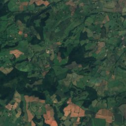
Satellite: Sentinel-2 cloudless 2016 by EOX IT Services GmbH · CC BY 4.0 · Contains modified Copernicus Sentinel data 2016
Fivehead Woods and Meadow
0.9 km NW
Site of Special Scientific Interest
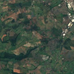
Satellite: Sentinel-2 cloudless 2016 by EOX IT Services GmbH · CC BY 4.0 · Contains modified Copernicus Sentinel data 2016
Church of St James, Curry Mallet
1.5 km S
Grade I listed building
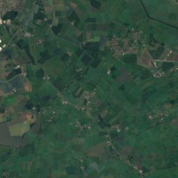
Satellite: Sentinel-2 cloudless 2016 by EOX IT Services GmbH · CC BY 4.0 · Contains modified Copernicus Sentinel data 2016
Church of St Martin, Fivehead
1.6 km E
Grade I listed building
Church of St Mary the Virgin, Isle Abbotts
2.1 km SE
Grade I listed building
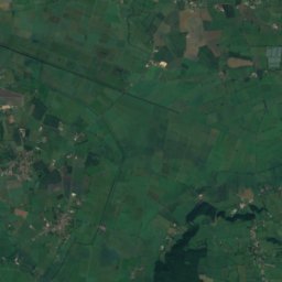
Satellite: Sentinel-2 cloudless 2016 by EOX IT Services GmbH · CC BY 4.0 · Contains modified Copernicus Sentinel data 2016
Church of St James, Beercrocombe
2.3 km SW
Grade I listed building
Satellite: Sentinel-2 cloudless 2016 by EOX IT Services GmbH · CC BY 4.0 · Contains modified Copernicus Sentinel data 2016
North Curry Meadow
3.0 km N
Site of Special Scientific Interest
Around here
Curry Mallet and around
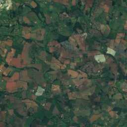
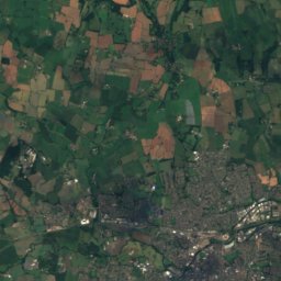
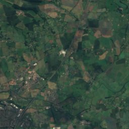
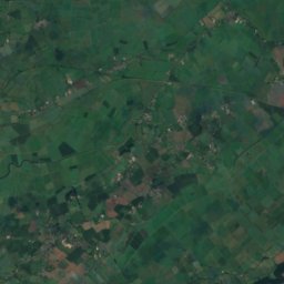
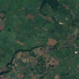
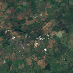
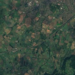
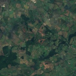
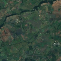
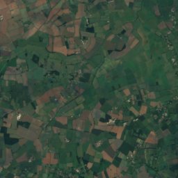
Satellite: Sentinel-2 cloudless 2016 by EOX IT Services GmbH · CC BY 4.0 · Contains modified Copernicus Sentinel data 2016
Curry Mallet
England · United Kingdom
Jun–Jul · Sepbest months
22°July high
42 maltitude
Nature

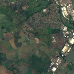
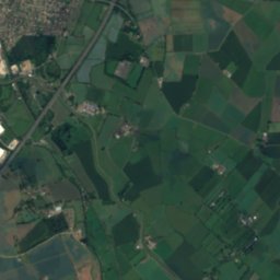
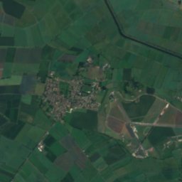
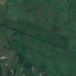
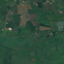
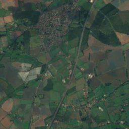
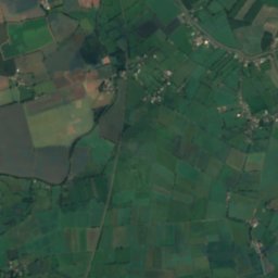
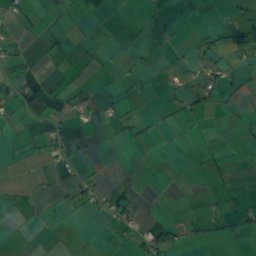
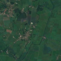
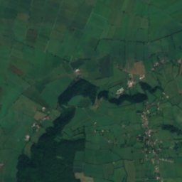
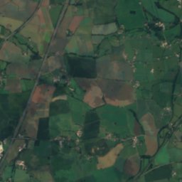
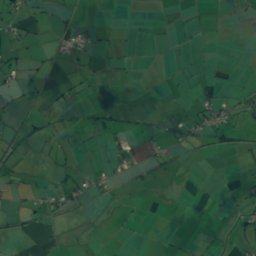
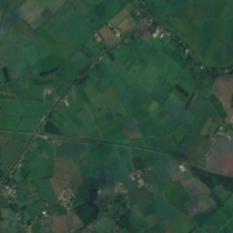
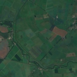
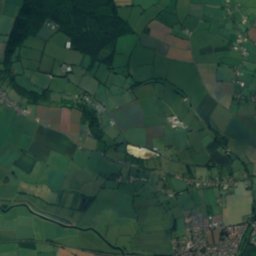
Satellite: Sentinel-2 cloudless 2016 by EOX IT Services GmbH · CC BY 4.0 · Contains modified Copernicus Sentinel data 2016
River Tone
River
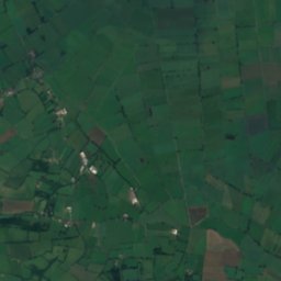
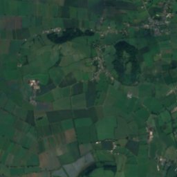
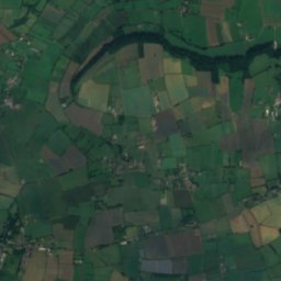
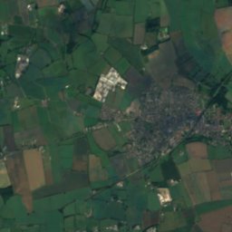
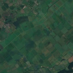
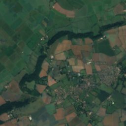
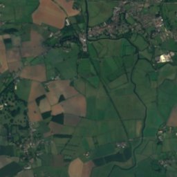
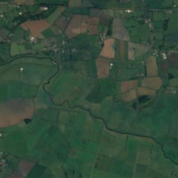
Satellite: Sentinel-2 cloudless 2016 by EOX IT Services GmbH · CC BY 4.0 · Contains modified Copernicus Sentinel data 2016
River Yeo (South Somerset)
River
Mountains
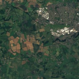
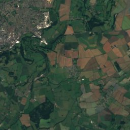
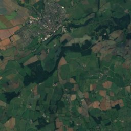
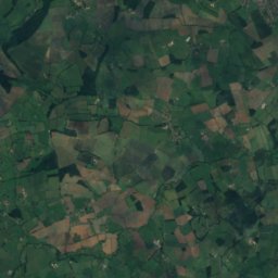
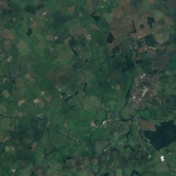
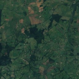
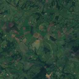
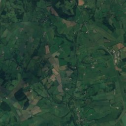
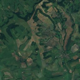
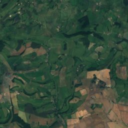
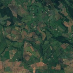
Satellite: Sentinel-2 cloudless 2016 by EOX IT Services GmbH · CC BY 4.0 · Contains modified Copernicus Sentinel data 2016
Watts Hill
262 m
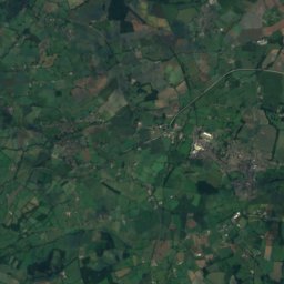
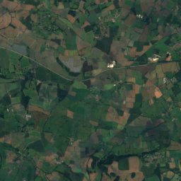
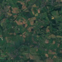
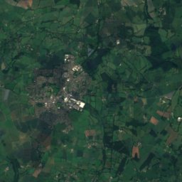
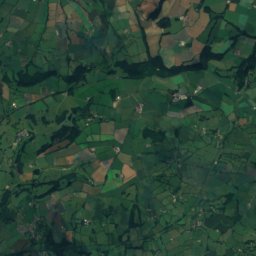
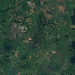
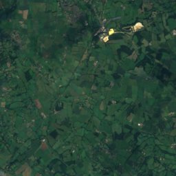
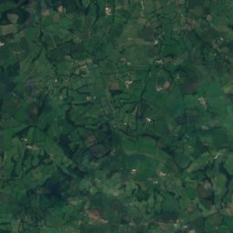
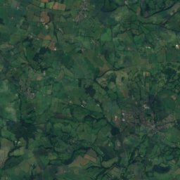
Satellite: Sentinel-2 cloudless 2016 by EOX IT Services GmbH · CC BY 4.0 · Contains modified Copernicus Sentinel data 2016
Weston Hill
250 m
Satellite: Sentinel-2 cloudless 2016 by EOX IT Services GmbH · CC BY 4.0 · Contains modified Copernicus Sentinel data 2016
Dogbury Hill
248 m
Heritage

Church of St John the Baptist, Hatch Beauchamp
Grade I listed building · 1150
Church of St Mary the Virgin, Isle Abbotts
Grade I listed building · 1201
Satellite: Sentinel-2 cloudless 2016 by EOX IT Services GmbH · CC BY 4.0 · Contains modified Copernicus Sentinel data 2016
Church of St James, Curry Mallet
Grade I listed building · 1201


