
Photo: Llywelyn2000 · CC BY-SA 4.0 · Wikimedia Commons
Devil's BridgeReport this photo · linked, not stored
Devil's BridgeReport this photo · linked, not stored

Photo: Martin Bodman · CC BY-SA 2.0 · Wikimedia Commons
Llywernog MineReport this photo · linked, not stored
Llywernog MineLlywernog MineReport this photo · linked, not stored
arch bridgeDevil's Bridge, Wales
Devil's Bridge
National Monument of WalesGrade II* listed building
Typearch bridge
Built–
Best monthsJun–Augweather in Devil's Bridge
52.38° N, 3.85° WUTC+0 · Greenwich Mean Time
When to goDevil's Bridge · weather score
Best timeJun–Aug
October: high / low14° / 7°
iAbout
Devil's Bridge in brief
Devil's Bridge is an arch bridge in Devil's Bridge, Wales, United Kingdom.
It holds the designations National Monument of Wales and Grade II* listed building.
For a visit, the weather in Devil's Bridge is best in June, July and August; in October afternoons average 14°.
Facts
- Type
- arch bridge
- Designation
- National Monument of Wales
- Grade II* listed building
- Nearest town
- Devil's Bridge
- Region
- Wales
- Coordinates
- 52.37680, -3.84987
iiLocation
Where to find it
iiiWhen to visit
Climate guideWeather in Devil's Bridge
Month score for sightseeing
Best Jun–Aug13
Jan
14
Feb
14
Mar
30
Apr
47
May
57
Jun
60
Jul
59
Aug
53
Sep
34
Oct
15
Nov
14
Dec
ivNearby
All monuments in the United KingdomMore heritage close by
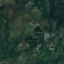
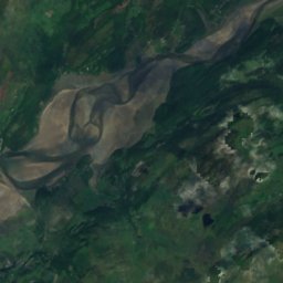
Satellite: Sentinel-2 cloudless 2016 by EOX IT Services GmbH · CC BY 4.0 · Contains modified Copernicus Sentinel data 2016
Glanfedw
1.4 km SW
Site of Special Scientific Interest
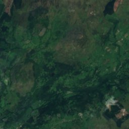
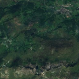
Satellite: Sentinel-2 cloudless 2016 by EOX IT Services GmbH · CC BY 4.0 · Contains modified Copernicus Sentinel data 2016
Coedydd a Cheunant Rheidol
2.0 km N
Site of Special Scientific Interest
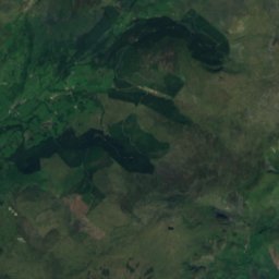
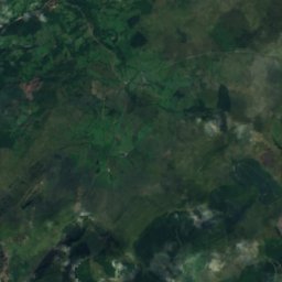
Satellite: Sentinel-2 cloudless 2016 by EOX IT Services GmbH · CC BY 4.0 · Contains modified Copernicus Sentinel data 2016
Frongoch Mine
3.3 km SW
scheduled monument
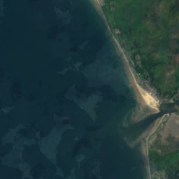
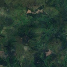
Satellite: Sentinel-2 cloudless 2016 by EOX IT Services GmbH · CC BY 4.0 · Contains modified Copernicus Sentinel data 2016
Rhos-Rydd
3.9 km SW
Site of Special Scientific Interest
Satellite: Sentinel-2 cloudless 2016 by EOX IT Services GmbH · CC BY 4.0 · Contains modified Copernicus Sentinel data 2016
Ffordd Coed Dol-Fawr
3.9 km NW
Site of Special Scientific Interest
Around here
Devil's Bridge and around

Photo: Former Post Office Stores, Devil’s Bridge by John Baker · CC BY-SA 2.0 · Wikimedia CommonsReport this photo · linked, not stored
Devil's Bridge
Wales · United Kingdom
Jun–Augbest months
19°July high
221 maltitude
Nature


Photo: Peter Trimming from Croydon, England · CC BY 2.0 · Wikimedia CommonsReport this photo · linked, not stored
Mynach Falls
Waterfall
Mountains

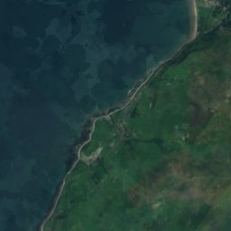
Satellite: Sentinel-2 cloudless 2016 by EOX IT Services GmbH · CC BY 4.0 · Contains modified Copernicus Sentinel data 2016
Penygadair, Dolgellau
893 m · Snowdonia

Heritage

Satellite: Sentinel-2 cloudless 2016 by EOX IT Services GmbH · CC BY 4.0 · Contains modified Copernicus Sentinel data 2016
Glanfedw
Site of Special Scientific Interest
Satellite: Sentinel-2 cloudless 2016 by EOX IT Services GmbH · CC BY 4.0 · Contains modified Copernicus Sentinel data 2016
Coedydd a Cheunant Rheidol
Site of Special Scientific Interest
Satellite: Sentinel-2 cloudless 2016 by EOX IT Services GmbH · CC BY 4.0 · Contains modified Copernicus Sentinel data 2016
Frongoch Mine
scheduled monument
Museums



Satellite: Sentinel-2 cloudless 2016 by EOX IT Services GmbH · CC BY 4.0 · Contains modified Copernicus Sentinel data 2016
Aberystwyth University Ceramics Collection
1920


Satellite: Sentinel-2 cloudless 2016 by EOX IT Services GmbH · CC BY 4.0 · Contains modified Copernicus Sentinel data 2016
Bwlch Nant yr Arian Forest
Nature center