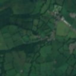
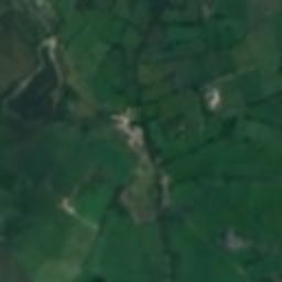
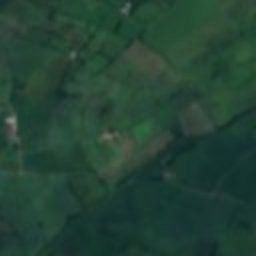
Satellite: Sentinel-2 cloudless 2016 by EOX IT Services GmbH · CC BY 4.0 · Contains modified Copernicus Sentinel data 2016
follyLlangybi, Wales
Derry Ormond Tower
Grade II* listed building
Typefolly
Built–
Best monthsJun–Augweather in Llangybi
52.15° N, 4.06° WUTC+0 · Greenwich Mean Time
When to goLlangybi · weather score
Best timeJun–Aug
October: high / low14° / 7°
iAbout
Derry Ormond Tower in brief
Derry Ormond Tower is a folly in Llangybi, Wales, United Kingdom.
It holds the designation Grade II* listed building.
For a visit, the weather in Llangybi is best in June, July and August; in October afternoons average 14°.
iiLocation
Where to find it
iiiWhen to visit
Climate guideWeather in Llangybi
Month score for sightseeing
Best Jun–Aug15
Jan
16
Feb
15
Mar
33
Apr
50
May
60
Jun
61
Jul
60
Aug
57
Sep
37
Oct
18
Nov
15
Dec
ivNearby
All monuments in the United KingdomMore heritage close by
Satellite: Sentinel-2 cloudless 2016 by EOX IT Services GmbH · CC BY 4.0 · Contains modified Copernicus Sentinel data 2016
Betws Bledrws church
0.7 km NE
National Monument of Wales
Satellite: Sentinel-2 cloudless 2016 by EOX IT Services GmbH · CC BY 4.0 · Contains modified Copernicus Sentinel data 2016
Caeau Llety-cybi
2.3 km NE
Site of Special Scientific Interest
Satellite: Sentinel-2 cloudless 2016 by EOX IT Services GmbH · CC BY 4.0 · Contains modified Copernicus Sentinel data 2016
Llangybi (Ceredigion) railway station
2.3 km NE
National Monument of Wales
Satellite: Sentinel-2 cloudless 2016 by EOX IT Services GmbH · CC BY 4.0 · Contains modified Copernicus Sentinel data 2016
Comin Silian
2.7 km W
Site of Special Scientific Interest
Satellite: Sentinel-2 cloudless 2016 by EOX IT Services GmbH · CC BY 4.0 · Contains modified Copernicus Sentinel data 2016
Falcondale Lake
2.7 km SW
Site of Special Scientific Interest
Satellite: Sentinel-2 cloudless 2016 by EOX IT Services GmbH · CC BY 4.0 · Contains modified Copernicus Sentinel data 2016
Church of All Saints, Cellan
3.1 km SE
Grade II* listed building
Around here
Llangybi and around
Nature


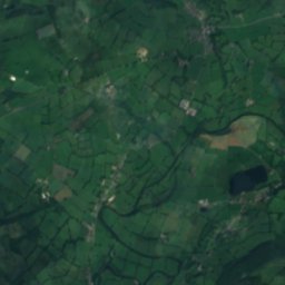
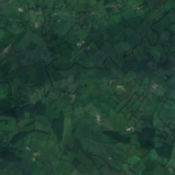
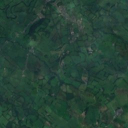
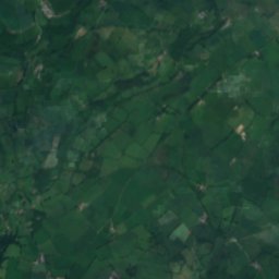
Satellite: Sentinel-2 cloudless 2016 by EOX IT Services GmbH · CC BY 4.0 · Contains modified Copernicus Sentinel data 2016
Llyn Pencarreg
Lake
Mountains
Satellite: Sentinel-2 cloudless 2016 by EOX IT Services GmbH · CC BY 4.0 · Contains modified Copernicus Sentinel data 2016
Twr y Fan Foel
803 m · Brecon Beacons

Heritage
Satellite: Sentinel-2 cloudless 2016 by EOX IT Services GmbH · CC BY 4.0 · Contains modified Copernicus Sentinel data 2016
Betws Bledrws church
National Monument of Wales
Satellite: Sentinel-2 cloudless 2016 by EOX IT Services GmbH · CC BY 4.0 · Contains modified Copernicus Sentinel data 2016
Church of All Saints, Cellan
Grade II* listed building
Satellite: Sentinel-2 cloudless 2016 by EOX IT Services GmbH · CC BY 4.0 · Contains modified Copernicus Sentinel data 2016
Llangybi (Ceredigion) railway station
National Monument of Wales
Museums


Satellite: Sentinel-2 cloudless 2016 by EOX IT Services GmbH · CC BY 4.0 · Contains modified Copernicus Sentinel data 2016
Lampeter Museum
Local museum · 2014
Satellite: Sentinel-2 cloudless 2016 by EOX IT Services GmbH · CC BY 4.0 · Contains modified Copernicus Sentinel data 2016
University of Wales, Trinity St David Museum
Satellite: Sentinel-2 cloudless 2016 by EOX IT Services GmbH · CC BY 4.0 · Contains modified Copernicus Sentinel data 2016