












Satellite: Sentinel-2 cloudless 2016 by EOX IT Services GmbH · CC BY 4.0 · Contains modified Copernicus Sentinel data 2016

Photo: FFNick · CC BY 3.0 · Wikimedia Commons
St Oswald VicarageReport this photo · linked, not stored
St Oswald VicarageSt Oswald VicarageReport this photo · linked, not stored
motive power depotCarnforth, England
Carnforth MPD
Grade II* listed building
Typemotive power depot
Built–
Best monthsJun–Augweather in Carnforth
54.13° N, 2.77° WUTC+0 · Greenwich Mean Time
When to goCarnforth · weather score
Best timeJun–Aug
October: high / low14° / 7°
iAbout
Carnforth MPD in brief
Carnforth MPD is a motive power depot in Carnforth, England, United Kingdom.
It holds the designation Grade II* listed building.
For a visit, the weather in Carnforth is best in June, July and August; in October afternoons average 14°.
iiLocation
Where to find it
iiiWhen to visit
Climate guideWeather in Carnforth
Month score for sightseeing
Best Jun–Aug15
Jan
15
Feb
16
Mar
34
Apr
52
May
61
Jun
61
Jul
61
Aug
56
Sep
36
Oct
15
Nov
15
Dec
ivNearby
All monuments in the United KingdomMore heritage close by
Satellite: Sentinel-2 cloudless 2016 by EOX IT Services GmbH · CC BY 4.0 · Contains modified Copernicus Sentinel data 2016
St Oswald's Church, Warton
1.5 km N
Grade II listed building
Satellite: Sentinel-2 cloudless 2016 by EOX IT Services GmbH · CC BY 4.0 · Contains modified Copernicus Sentinel data 2016
Warton Old Rectory
1.5 km N
Grade I listed building
Satellite: Sentinel-2 cloudless 2016 by EOX IT Services GmbH · CC BY 4.0 · Contains modified Copernicus Sentinel data 2016
Hyning Priory
2.7 km NE
Grade II listed building
Satellite: Sentinel-2 cloudless 2016 by EOX IT Services GmbH · CC BY 4.0 · Contains modified Copernicus Sentinel data 2016
St Cuthbert's Church, Over Kellet
3.0 km SE
Grade II* listed building
Satellite: Sentinel-2 cloudless 2016 by EOX IT Services GmbH · CC BY 4.0 · Contains modified Copernicus Sentinel data 2016
St Mary's Church, Yealand Conyers
3.4 km N
Grade II listed building
Around here
Carnforth and around
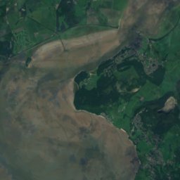
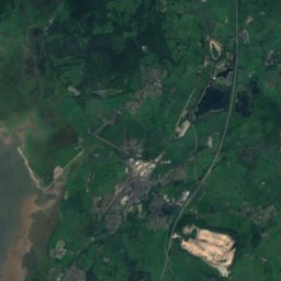


Nature




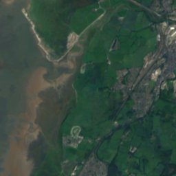
Satellite: Sentinel-2 cloudless 2016 by EOX IT Services GmbH · CC BY 4.0 · Contains modified Copernicus Sentinel data 2016
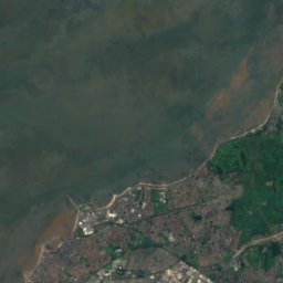
River Keer
River
Satellite: Sentinel-2 cloudless 2016 by EOX IT Services GmbH · CC BY 4.0 · Contains modified Copernicus Sentinel data 2016
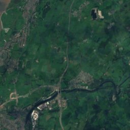
River Wenning
River
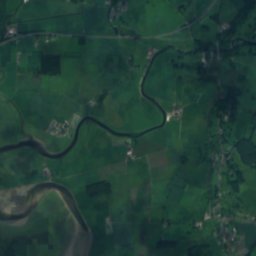
Satellite: Sentinel-2 cloudless 2016 by EOX IT Services GmbH · CC BY 4.0 · Contains modified Copernicus Sentinel data 2016
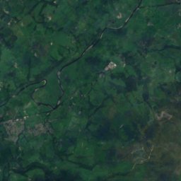
River Winster
River
Mountains

Photo: Frederic Jayatilaka / Freddyj66 at en.wikipedia · Public domain · Wikimedia CommonsReport this photo · linked, not stored
Swirl How
802 m · Lake District

Photo: Freddyj66 at English Wikipedia · Public domain · Wikimedia CommonsReport this photo · linked, not stored
Brim Fell
796 m · Lake District

Photo: Freddyj66 at English Wikipedia · Public domain · Wikimedia CommonsReport this photo · linked, not stored
Great Carrs
788 m · Lake District
Heritage


Satellite: Sentinel-2 cloudless 2016 by EOX IT Services GmbH · CC BY 4.0 · Contains modified Copernicus Sentinel data 2016
St Oswald's Church, Warton
Grade II listed building · 1401

Satellite: Sentinel-2 cloudless 2016 by EOX IT Services GmbH · CC BY 4.0 · Contains modified Copernicus Sentinel data 2016
St Cuthbert's Church, Over Kellet
Grade II* listed building
Museums
Satellite: Sentinel-2 cloudless 2016 by EOX IT Services GmbH · CC BY 4.0 · Contains modified Copernicus Sentinel data 2016
Carnforth Station Heritage Centre
Heritage centre · 2003


