
Photo: Alexandermcnabb · CC BY-SA 4.0 · Wikimedia Commons
Ed-DurReport this photo · linked, not stored
Ed-DurReport this photo · linked, not stored
archaeological siteAl Raafah, Umm Al Quwain
Ed-Dur
Tentative World Heritage Site
Typearchaeological site
Built–
Best monthsJan–Feb · Decweather in Al Raafah
25.52° N, 55.63° EUTC+4 · Gulf Standard Time
When to goAl Raafah · weather score
Best timeJan–Feb · Dec
October: high / low34° / 25°
iAbout
Ed-Dur in brief
Ed-Dur is an archaeological site in Al Raafah, Umm Al Quwain, United Arab Emirates. Ancient city and archaeological site in the UAE.
It holds the designation Tentative World Heritage Site.
For a visit, the weather in Al Raafah is best in January, February and December; in October afternoons average 34°.
Facts
- Type
- archaeological site
- Designation
- Tentative World Heritage Site
- Nearest town
- Al Raafah
- Region
- Umm Al Quwain
- Coordinates
- 25.52222, 55.62611
iiLocation
Where to find it
iiiWhen to visit
Climate guideWeather in Al Raafah
Month score for sightseeing
Best Jan–Feb · Dec92
Jan
94
Feb
87
Mar
73
Apr
58
May
57
Jun
57
Jul
57
Aug
57
Sep
62
Oct
79
Nov
93
Dec
Around here
Al Raafah and around
Al Raafah
Umm Al Quwain · United Arab Emirates
Jan–Feb · Decbest months
39°July high
28 maltitude
Nature




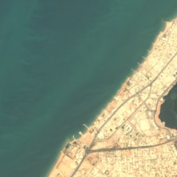



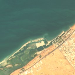
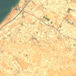

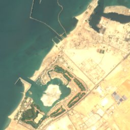
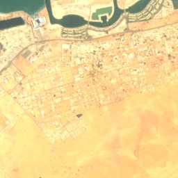
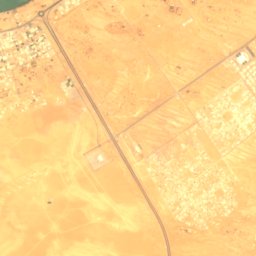
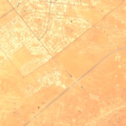
Satellite: Sentinel-2 cloudless 2016 by EOX IT Services GmbH · CC BY 4.0 · Contains modified Copernicus Sentinel data 2016
Khawr Qurm
Lake



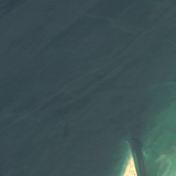
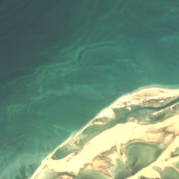
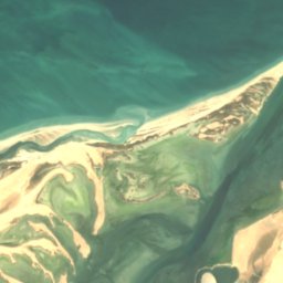

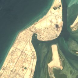
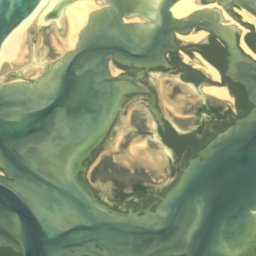
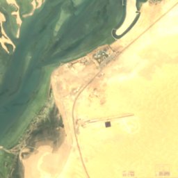

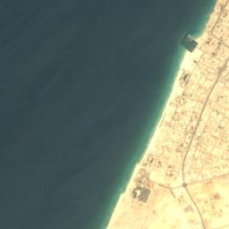
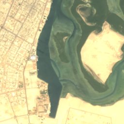
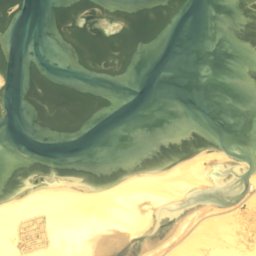
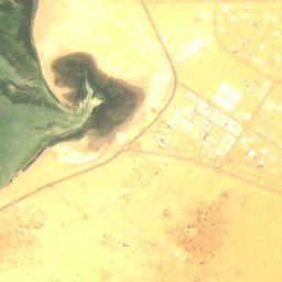
Satellite: Sentinel-2 cloudless 2016 by EOX IT Services GmbH · CC BY 4.0 · Contains modified Copernicus Sentinel data 2016
Jazīrat Al Aki‘āb
Island · 5 m
Mountains
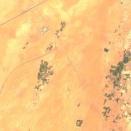
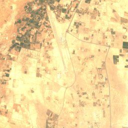
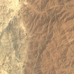
Satellite: Sentinel-2 cloudless 2016 by EOX IT Services GmbH · CC BY 4.0 · Contains modified Copernicus Sentinel data 2016
Jabal al Qumr ash Shamālī
555 m
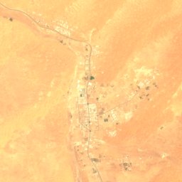
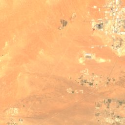
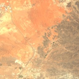
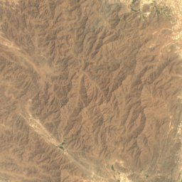
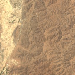
Satellite: Sentinel-2 cloudless 2016 by EOX IT Services GmbH · CC BY 4.0 · Contains modified Copernicus Sentinel data 2016
Jabal al Qumr al Janūbī
466 m
Satellite: Sentinel-2 cloudless 2016 by EOX IT Services GmbH · CC BY 4.0 · Contains modified Copernicus Sentinel data 2016
Jabal Satif
367 m


