Skip to content
Destinations
Weather & climate
Nature
Outdoors
Culture
Events
Sky & live
Uch-Bash settlement
Photo: Burov.yl · CC BY-SA 4.0 · Wikimedia Commons
Uch-Bash settlementReport this photo · linked, not stored
Kalamita Fortress
Photo: Wadco2 · CC BY-SA 3.0 · Wikimedia Commons
Kalamita FortressReport this photo · linked, not stored
Kalamita Fortress
Zagaytansky castle
Photo: Alim The Great · CC BY-SA 4.0 · Wikimedia Commons
Zagaytansky castleReport this photo · linked, not stored
Zagaytansky castle
Башта Микрюківського водогону
Photo: Catch22sev · CC BY-SA 3.0 · Wikimedia Commons
Башта Микрюківського водогонуReport this photo · linked, not stored
Башта Микрюківського водогону
Kornilov monument in Sevastopol
Photo: Kamelot · CC BY-SA 3.0 · Wikimedia Commons
Kornilov monument in SevastopolReport this photo · linked, not stored
Kornilov monument in Sevastopol
archaeological siteInkerman, Sevastopol City

Uch-Bash settlement

State Register of Immovable Monuments of Ukrainefederal cultural heritage site in Russia
Typearchaeological site
Built–
Best monthsMay · Sep–Octweather in Inkerman
44.60° N, 33.61° EUTC+3 · Moscow Standard Time
When to goInkerman · weather score
JanFebMarAprMayJunJulAugSepOctNovDec82October
Best timeMay · Sep–Oct
October: high / low18° / 11°
iAbout

Uch-Bash settlement in brief

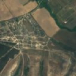
Uch-Bash settlement is an archaeological site in Inkerman, Sevastopol City, Ukraine.

It holds the designations State Register of Immovable Monuments of Ukraine and federal cultural heritage site in Russia.

For a visit, the weather in Inkerman is best in May, September and October; in October afternoons average 18°.

Inkerman: weather and travel guide

Facts

Type
archaeological site
Designation
State Register of Immovable Monuments of Ukraine
federal cultural heritage site in Russia
Nearest town
Inkerman
Region
Sevastopol City
Coordinates
44.60207, 33.60883
iiLocation

Where to find it

iiiWhen to visit

Weather in Inkerman

Climate guide

Month score for sightseeing

Best May · Sep–Oct
ivNearby

More heritage close by

All monuments in Ukraine
Kalamita Fortress
Photo: Wadco2 · CC BY-SA 3.0 · Wikimedia CommonsReport this photo · linked, not stored

Kalamita Fortress

under 100 m N
State Register of Immovable Monuments of Ukraine
Kalamita Fortress
Zagaytansky castle
Photo: Alim The Great · CC BY-SA 4.0 · Wikimedia CommonsReport this photo · linked, not stored

Zagaytansky castle

0.3 km S
federal cultural heritage site in Russia
Zagaytansky castle
Башта Микрюківського водогону
Photo: Catch22sev · CC BY-SA 3.0 · Wikimedia CommonsReport this photo · linked, not stored

Башта Микрюківського водогону

2.5 km SW
historic monument of local significance in Ukraine
Башта Микрюківського водогону
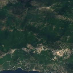
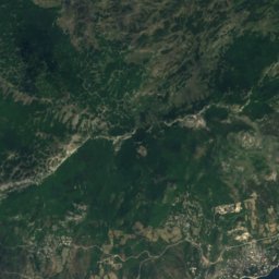
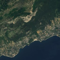
Satellite: Sentinel-2 cloudless 2016 by EOX IT Services GmbH · CC BY 4.0 · Contains modified Copernicus Sentinel data 2016

Memorial Cemetery of Soviet soldiers in Sevastopol

3.0 km SW
regional cultural heritage site in Russia
Memorial Cemetery of Soviet soldiers in Sevastopol
Kornilov monument in Sevastopol
Photo: Kamelot · CC BY-SA 3.0 · Wikimedia CommonsReport this photo · linked, not stored

Kornilov monument in Sevastopol

4.8 km W
cultural heritage site in Ukraine
Kornilov monument in Sevastopol
Matyukhin Battery
Photo: Kamelot · CC BY-SA 3.0 · Wikimedia CommonsReport this photo · linked, not stored

Matyukhin Battery

4.8 km W
historic monument of local significance in Ukraine
Matyukhin Battery
Around here

Inkerman and around

Inkerman
Photo: Granbergs Konstindustri Aktiebolags Förlag · Public domain · Wikimedia CommonsReport this photo · linked, not stored

Inkerman

Sevastopol City · Ukraine
May · Sep–Octbest months
29°July high
50 maltitude
Inkerman

Nature

Belbek
Photo: Kosun · CC0 · Wikimedia CommonsReport this photo · linked, not stored
7.5 km NW

Belbek

River
Belbek
Murzak-Koba Cave
Photo: Alim The Great · CC BY-SA 4.0 · Wikimedia CommonsReport this photo · linked, not stored
12 km SE

Murzak-Koba Cave

Cave
Murzak-Koba Cave
Aytodorka
Photo: Kosun · CC0 · Wikimedia CommonsReport this photo · linked, not stored
9.3 km SE

Aytodorka

River
Aytodorka

Mountains

Ai-Valenti
Photo: В.Білецький · Public domain · Wikimedia CommonsReport this photo · linked, not stored
39 km E

Ai-Valenti

1,284 m
Ai-Valenti
Ai-Petri
Photo: Батяшев Александр · CC BY-SA 3.0 · Wikimedia CommonsReport this photo · linked, not stored
40 km SE

Ai-Petri

1,234 m · Crimean Mountains
Ai-Petri
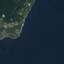
Satellite: Sentinel-2 cloudless 2016 by EOX IT Services GmbH · CC BY 4.0 · Contains modified Copernicus Sentinel data 2016
38 km SE

Hora Ay-Petri

1,219 m
Hora Ay-Petri

Heritage

Kalamita Fortress
Photo: Wadco2 · CC BY-SA 3.0 · Wikimedia CommonsReport this photo · linked, not stored
1.2 km S

Kalamita Fortress

State Register of Immovable Monuments of Ukraine · 600
Kalamita Fortress
Zagaytansky castle
Photo: Alim The Great · CC BY-SA 4.0 · Wikimedia CommonsReport this photo · linked, not stored
1.6 km S

Zagaytansky castle

federal cultural heritage site in Russia · 600
Zagaytansky castle
Chersonesus
Photo: Alex Kozlov · CC BY-SA 3.0 · Wikimedia CommonsReport this photo · linked, not stored
9.2 km W

Chersonesus

State Register of Immovable Monuments of Ukraine · 500 BC
Chersonesus

Museums

Naval museum complex Balaklava
Photo: Alexxx1979 · CC BY-SA 3.0 · Wikimedia CommonsReport this photo · linked, not stored
13 km S

Naval museum complex Balaklava

Naval museum · 2003
Naval museum complex Balaklava
Mikhailovskaya Battery
Photo: Engineer gena · CC BY-SA 4.0 · Wikimedia CommonsReport this photo · linked, not stored
6.8 km W

Mikhailovskaya Battery

1846
Mikhailovskaya Battery
Museum of Russian Black sea Navy in Sevastopol
Photo: Russianname · CC BY 3.0 · Wikimedia CommonsReport this photo · linked, not stored
6.7 km W

Museum of Russian Black sea Navy in Sevastopol

1869
Museum of Russian Black sea Navy in Sevastopol