
Photo: © Vyacheslav Argenberg · CC BY 4.0 · Wikimedia Commons
MangupReport this photo · linked, not stored
MangupReport this photo · linked, not stored

Photo: Ilya · CC BY-SA 3.0 · Wikimedia Commons
Prince Alexei 's PalaceReport this photo · linked, not stored
Prince Alexei 's PalacePrince Alexei 's PalaceReport this photo · linked, not stored

Photo: https://wikimapia.org/#lang=ru&lat=44.592882&lon=33.800018&z=16&m=w&show=/user/1 · CC BY-SA 3.0 · Wikimedia Commons
Great BasilicaReport this photo · linked, not stored
Great BasilicaGreat BasilicaReport this photo · linked, not stored

Photo: https://wikimapia.org/#lang=ru&lat=44.591934&lon=33.800297&z=16&show=/user/36497 · CC BY-SA 3.0 · Wikimedia Commons
Church of Constantine and HelenaReport this photo · linked, not stored
Church of Constantine and HelenaChurch of Constantine and HelenaReport this photo · linked, not stored

Photo: https://wikimapia.org/#lang=ru&lat=44.594012&lon=33.805060&z=17&m=w&show=/user/3 · CC BY-SA 3.0 · Wikimedia Commons
Saint George Church, TernivkaReport this photo · linked, not stored
Saint George Church, TernivkaSaint George Church, TernivkaReport this photo · linked, not stored
cave cityTernivka, Sevastopol City
Mangup
cultural heritage site in UkraineBuilt 300
Typecave city
Built300
Best monthsMay · Sep–Octweather in Ternivka
44.59° N, 33.80° EUTC+3 · Moscow Standard Time
Standing for1,726 years
built 300today 2026
When to goTernivka · weather score
Best timeMay · Sep–Oct
October: high / low18° / 9°
iAbout
Mangup in brief
Mangup is a cave city in Ternivka, Sevastopol City, Ukraine. Medieval cave town and former capital of the Principality of Theodoro in Crimea.
It holds the designation cultural heritage site in Ukraine.
The cave city dates from 300.
For a visit, the weather in Ternivka is best in May, September and October; in October afternoons average 18°.
Facts
- Type
- cave city
- Designation
- cultural heritage site in Ukraine
- Built
- 300
- Nearest town
- Ternivka
- Region
- Sevastopol City
- Coordinates
- 44.59306, 33.80139
iiLocation
Where to find it
iiiWhen to visit
Climate guideWeather in Ternivka
Month score for sightseeing
Best May · Sep–Oct23
Jan
29
Feb
35
Mar
67
Apr
82
May
79
Jun
67
Jul
69
Aug
86
Sep
82
Oct
47
Nov
26
Dec
ivNearby
All monuments in UkraineMore heritage close by
Prince Alexei 's Palace
under 100 m SW
architectural monument of national significance of Ukraine
Photo: https://wikimapia.org/#lang=ru&lat=44.592882&lon=33.800018&z=16&m=w&show=/user/1 · CC BY-SA 3.0 · Wikimedia CommonsReport this photo · linked, not stored
Great Basilica
0.2 km W
architectural monument of national significance of Ukraine
Photo: https://wikimapia.org/#lang=ru&lat=44.591934&lon=33.800297&z=16&show=/user/36497 · CC BY-SA 3.0 · Wikimedia CommonsReport this photo · linked, not stored
Church of Constantine and Helena
0.3 km SE
federal cultural heritage site in Russia
Photo: https://wikimapia.org/#lang=ru&lat=44.594012&lon=33.805060&z=17&m=w&show=/user/3 · CC BY-SA 3.0 · Wikimedia CommonsReport this photo · linked, not stored
Saint George Church, Ternivka
0.3 km NE
federal cultural heritage site in Russia

Southern Monastery
0.4 km S
architectural monument of national significance of Ukraine

Southeastern Monastery
0.5 km E
State Register of Immovable Monuments of Ukraine
Around here
Ternivka and around

Nature


Mountains


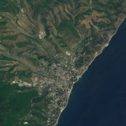

Heritage


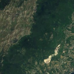
Satellite: Sentinel-2 cloudless 2016 by EOX IT Services GmbH · CC BY 4.0 · Contains modified Copernicus Sentinel data 2016
Chelter-Marmara
State Register of Immovable Monuments of Ukraine

Museums

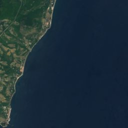
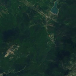
Satellite: Sentinel-2 cloudless 2016 by EOX IT Services GmbH · CC BY 4.0 · Contains modified Copernicus Sentinel data 2016
The Donkey Museum
2003


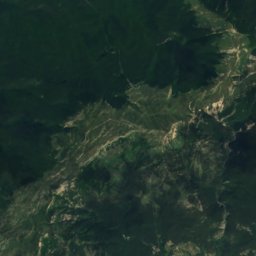
Satellite: Sentinel-2 cloudless 2016 by EOX IT Services GmbH · CC BY 4.0 · Contains modified Copernicus Sentinel data 2016