
Photo: Bernard Gagnon · CC BY-SA 3.0 · Wikimedia Commons
Antonine bathsReport this photo · linked, not stored
Antonine bathsReport this photo · linked, not stored

Photo: Céline Rabaud · CC BY-SA 4.0 · Wikimedia Commons
Zarrouk PalaceReport this photo · linked, not stored
Zarrouk PalaceZarrouk PalaceReport this photo · linked, not stored

Photo: Christian Manhart · CC BY-SA 3.0 igo · Wikimedia Commons
Archaeological site of CarthageReport this photo · linked, not stored
Archaeological site of CarthageArchaeological site of CarthageReport this photo · linked, not stored

Photo: Calips · CC BY 2.5 · Wikimedia Commons
Odeon hill and park of the Roman villas of CarthageReport this photo · linked, not stored
Odeon hill and park of the Roman villas of CarthageOdeon hill and park of the Roman villas of CarthageReport this photo · linked, not stored
thermaeCarthage, Tunis Governorate
Antonine baths
listed monument of Tunisiapart of UNESCO World Heritage Site
Typethermae
Built–
Best monthsMar–Mayweather in Carthage
36.85° N, 10.34° EUTC+1 · Central European Standard Time
When to goCarthage · weather score
Best timeMar–May
October: high / low26° / 18°
iAbout
Antonine baths in brief
Antonine baths is a thermae in Carthage, Tunis Governorate, Tunisia.
It holds the designations listed monument of Tunisia and part of UNESCO World Heritage Site.
For a visit, the weather in Carthage is best in March, April and May; in October afternoons average 26°.
Facts
- Type
- thermae
- Designation
- listed monument of Tunisia
- part of UNESCO World Heritage Site
- Nearest town
- Carthage
- Region
- Tunis Governorate
- Coordinates
- 36.85430, 10.33510
iiLocation
Where to find it
ivNearby
All monuments in TunisiaMore heritage close by


Satellite: Sentinel-2 cloudless 2016 by EOX IT Services GmbH · CC BY 4.0 · Contains modified Copernicus Sentinel data 2016
District of Magon (Carthage)
0.5 km SW
listed monument of Tunisia
Photo: Christian Manhart · CC BY-SA 3.0 igo · Wikimedia CommonsReport this photo · linked, not stored
Archaeological site of Carthage
0.6 km NW
World Heritage Site




Satellite: Sentinel-2 cloudless 2016 by EOX IT Services GmbH · CC BY 4.0 · Contains modified Copernicus Sentinel data 2016
Villa Baizeau
0.6 km NE
listed monument of Tunisia
Odeon hill and park of the Roman villas of Carthage
0.6 km NW
listed monument of Tunisia
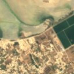
Satellite: Sentinel-2 cloudless 2016 by EOX IT Services GmbH · CC BY 4.0 · Contains modified Copernicus Sentinel data 2016
Theatre of Carthage
0.6 km NW
listed monument of Tunisia
Around here
Carthage and around

Nature


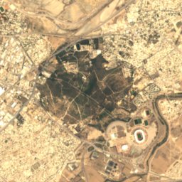
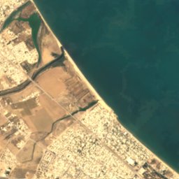



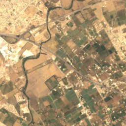
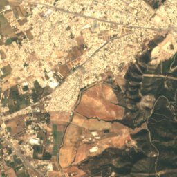
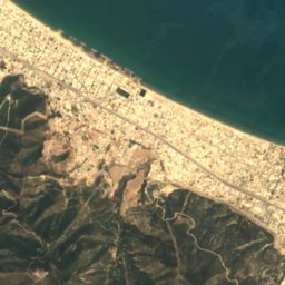
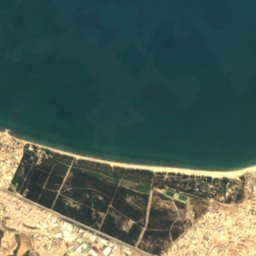
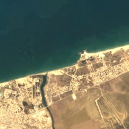
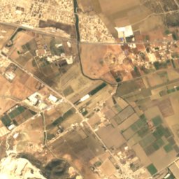
Satellite: Sentinel-2 cloudless 2016 by EOX IT Services GmbH · CC BY 4.0 · Contains modified Copernicus Sentinel data 2016
Boukornine National Park
National park
Mountains


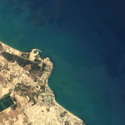



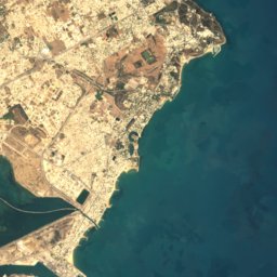



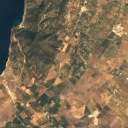
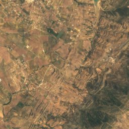
Satellite: Sentinel-2 cloudless 2016 by EOX IT Services GmbH · CC BY 4.0 · Contains modified Copernicus Sentinel data 2016
Jabal Douela
235 m
Heritage


Basilica Majorum of Carthage
part of UNESCO World Heritage Site · 300


