

Photo: Ahoerstemeier · CC BY-SA 3.0 · Wikimedia Commons
Wat KaeoReport this photo · linked, not stored
Wat KaeoWat KaeoReport this photo · linked, not stored

Photo: Xiengyod · CC BY-SA 3.0 · Wikimedia Commons
Wat Phra Boromathat Chaiya Rat WorawihanReport this photo · linked, not stored
Wat Phra Boromathat Chaiya Rat WorawihanWat Phra Boromathat Chaiya Rat WorawihanReport this photo · linked, not stored
watChaiya, Surat Thani
Wat Long
registered Thai historic site
Typewat
Built–
Best monthsJan–Marweather in Chaiya
9.38° N, 99.19° EUTC+7 · Indochina Time
When to goChaiya · weather score
Best timeJan–Mar
October: high / low29° / 25°
iAbout
Wat Long in brief
Wat Long is a wat in Chaiya, Surat Thani, Thailand.
It holds the designation registered Thai historic site.
For a visit, the weather in Chaiya is best in January, February and March; in October afternoons average 29°.
Facts
- Type
- wat
- Designation
- registered Thai historic site
- Nearest town
- Chaiya
- Region
- Surat Thani
- Coordinates
- 9.38230, 99.19030
iiLocation
Where to find it
iiiWhen to visit
Climate guideWeather in Chaiya
Month score for sightseeing
Best Jan–Mar70
Jan
62
Feb
62
Mar
37
Apr
31
May
28
Jun
30
Jul
30
Aug
33
Sep
39
Oct
46
Nov
53
Dec
ivNearby
All monuments in ThailandMore heritage close by
Wat Phra Boromathat Chaiya Rat Worawihan
0.7 km W
registered Thai historic site
Around here
Chaiya and around
Nature
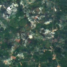
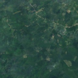
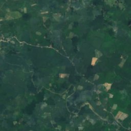
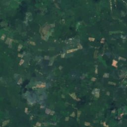
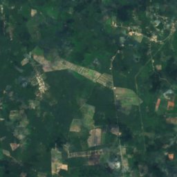
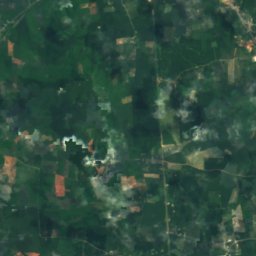
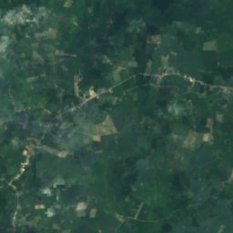
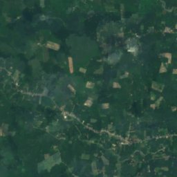
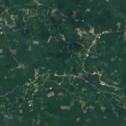
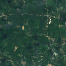
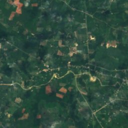
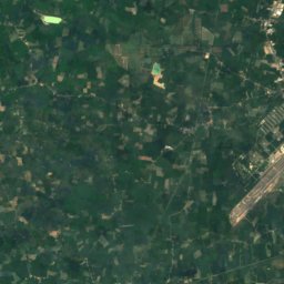
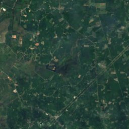
Satellite: Sentinel-2 cloudless 2016 by EOX IT Services GmbH · CC BY 4.0 · Contains modified Copernicus Sentinel data 2016
Tha Nuat reservoir
Lake
Mountains
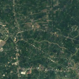
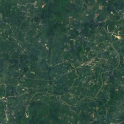
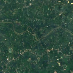
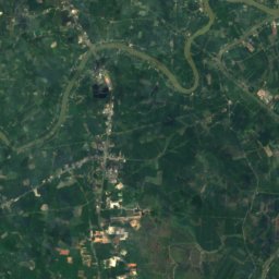
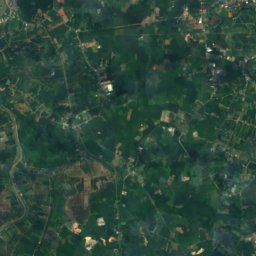
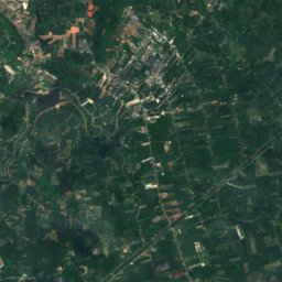
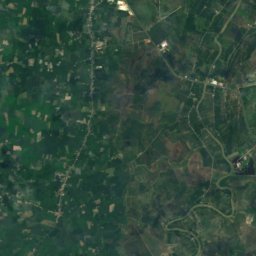
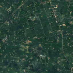
Satellite: Sentinel-2 cloudless 2016 by EOX IT Services GmbH · CC BY 4.0 · Contains modified Copernicus Sentinel data 2016
Khao Hua Khwai
298 m
Heritage



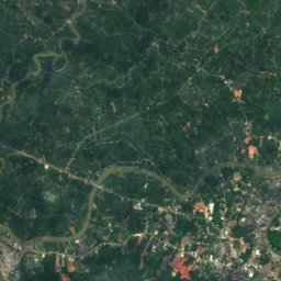
Satellite: Sentinel-2 cloudless 2016 by EOX IT Services GmbH · CC BY 4.0 · Contains modified Copernicus Sentinel data 2016
Wat Phra Boromathat Chaiya Rat Worawihan
registered Thai historic site
Museums
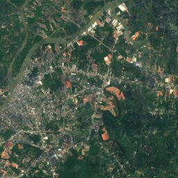
Satellite: Sentinel-2 cloudless 2016 by EOX IT Services GmbH · CC BY 4.0 · Contains modified Copernicus Sentinel data 2016