Satellite: Sentinel-2 cloudless 2016 by EOX IT Services GmbH · CC BY 4.0 · Contains modified Copernicus Sentinel data 2016

Photo: Laloom · CC BY-SA 4.0 · Wikimedia Commons
High school, MünchensteinReport this photo · linked, not stored
High school, MünchensteinHigh school, MünchensteinReport this photo · linked, not stored

Photo: Huligan0 · CC BY-SA 3.0 · Wikimedia Commons
MünchensteinReport this photo · linked, not stored
MünchensteinMünchensteinReport this photo · linked, not stored

Photo: de:Benutzer:Keimzelle · CC BY-SA 3.0 · Wikimedia Commons
BrüglingenReport this photo · linked, not stored
BrüglingenBrüglingenReport this photo · linked, not stored
villaMünchenstein, Basel-Landschaft
Villa Ehinger
class B Swiss cultural property of regional significanceBuilt 1830
TypevillaClassicism
Built1830by Melchior Berri
Best monthsJun · Aug–Sepweather in Münchenstein
47.53° N, 7.62° EUTC+1 · Central European Standard Time
Standing for196 years
built 1830today 2026
When to goMünchenstein · weather score
Best timeJun · Aug–Sep
October: high / low16° / 7°
iAbout
Villa Ehinger in brief
Villa Ehinger is a villa in Münchenstein, Basel-Landschaft, Switzerland.
It holds the designation class B Swiss cultural property of regional significance.
The villa dates from 1830, was designed by Melchior Berri and is built in the Classicism style.
For a visit, the weather in Münchenstein is best in June, August and September; in October afternoons average 16°.
Facts
- Type
- villa
- Designation
- class B Swiss cultural property of regional significance
- Built
- 1830
- Architect
- Melchior Berri
- Style
- Classicism
- Nearest town
- Münchenstein
- Region
- Basel-Landschaft
- Coordinates
- 47.52734, 7.61605
iiLocation
Where to find it
iiiWhen to visit
Climate guideWeather in Münchenstein
Month score for sightseeing
Best Jun · Aug–Sep20
Jan
23
Feb
31
Mar
57
Apr
62
May
65
Jun
62
Jul
63
Aug
67
Sep
49
Oct
18
Nov
18
Dec
ivNearby
All monuments in SwitzerlandMore heritage close by
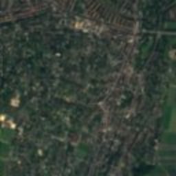
High school, Münchenstein
under 100 m E
class B Swiss cultural property of regional significance
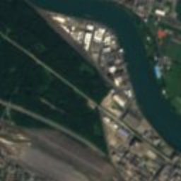
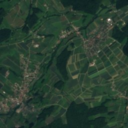
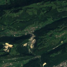
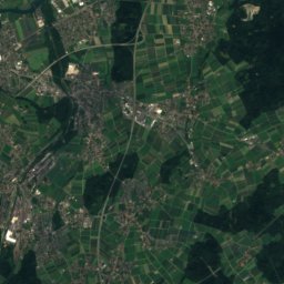
Satellite: Sentinel-2 cloudless 2016 by EOX IT Services GmbH · CC BY 4.0 · Contains modified Copernicus Sentinel data 2016
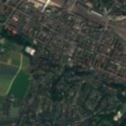
Neue Welt Hammer mill
0.2 km NE
class B Swiss cultural property of regional significance
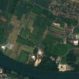
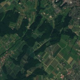
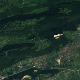
Satellite: Sentinel-2 cloudless 2016 by EOX IT Services GmbH · CC BY 4.0 · Contains modified Copernicus Sentinel data 2016
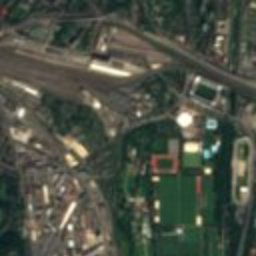
Wasserhaus settlement by Bernoulli
0.3 km E
class B Swiss cultural property of regional significance
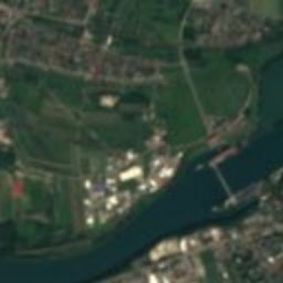
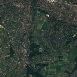
Satellite: Sentinel-2 cloudless 2016 by EOX IT Services GmbH · CC BY 4.0 · Contains modified Copernicus Sentinel data 2016
Basel Poster Collection
0.7 km NW
class A Swiss cultural property of national significance
Photo: de:Benutzer:Keimzelle · CC BY-SA 3.0 · Wikimedia CommonsReport this photo · linked, not stored
Brüglingen
1.0 km N
Swiss townscape worthy of protection
Around here
Münchenstein and around
Münchenstein
Basel-Landschaft · Switzerland
Jun · Aug–Sepbest months
26°July high
287 maltitude
Nature

Photo: The original uploader was Sissacher at German Wikipedia. · CC BY-SA 3.0 · Wikimedia CommonsReport this photo · linked, not stored
Ergolz
River · 266 m
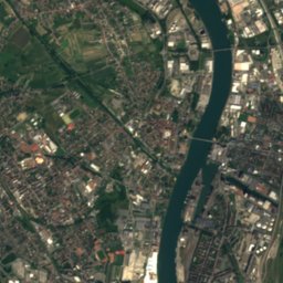
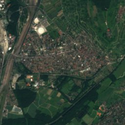
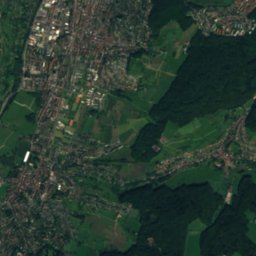
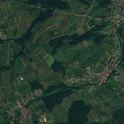
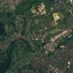
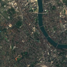
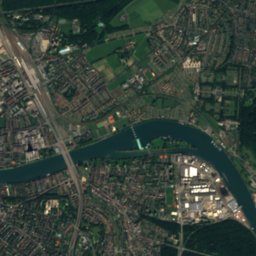
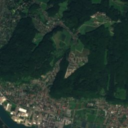
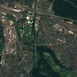
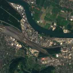
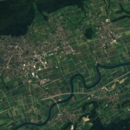
Satellite: Sentinel-2 cloudless 2016 by EOX IT Services GmbH · CC BY 4.0 · Contains modified Copernicus Sentinel data 2016
Birs
River · 249 m
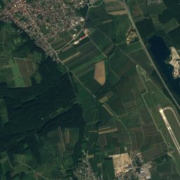
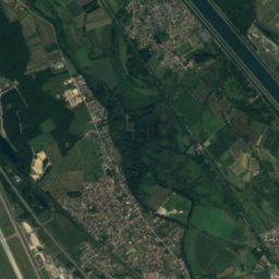
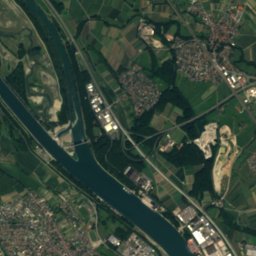
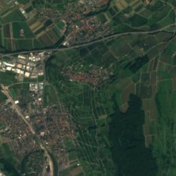
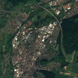
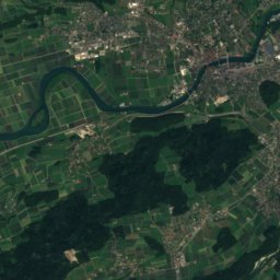
Satellite: Sentinel-2 cloudless 2016 by EOX IT Services GmbH · CC BY 4.0 · Contains modified Copernicus Sentinel data 2016
High Rhine
River
Mountains


Photo: Andreas Schwarzkopf edited by Milseburg · CC BY-SA 3.0 · Wikimedia CommonsReport this photo · linked, not stored
Belchen
1,414 m · Black Forest
Heritage


Haas Type Foundry
class B Swiss cultural property of regional significance · 1921
Satellite: Sentinel-2 cloudless 2016 by EOX IT Services GmbH · CC BY 4.0 · Contains modified Copernicus Sentinel data 2016
Münchenstein
Swiss townscape worthy of protection
Museums




Satellite: Sentinel-2 cloudless 2016 by EOX IT Services GmbH · CC BY 4.0 · Contains modified Copernicus Sentinel data 2016
Schaulager
Art museum · 2003