Skip to content
Destinations
Weather & climate
Nature
Outdoors
Culture
Events
Sky & live
Upper Tower
Photo: Voyager · CC BY-SA 3.0 · Wikimedia Commons
Upper TowerReport this photo · linked, not stored
Aarau
Photo: Lutz Fischer · CC BY-SA 4.0 · Wikimedia Commons
AarauReport this photo · linked, not stored
Aarau
Restaurant Zunftstube
Photo: Voyager · CC BY-SA 3.0 · Wikimedia Commons
Restaurant ZunftstubeReport this photo · linked, not stored
Restaurant Zunftstube
Saxer house
Photo: Sandro Senn · CC BY-SA 3.0 · Wikimedia Commons
Saxer houseReport this photo · linked, not stored
Saxer house
Haus zum Erker
Photo: Rudolf Künzli · CC BY-SA 3.0 · Wikimedia Commons
Haus zum ErkerReport this photo · linked, not stored
Haus zum Erker
towerAarau, Aargau

Upper Tower

class B Swiss cultural property of regional significanceBuilt 1270
Typetower
Built1270
Best monthsJun · Aug–Sepweather in Aarau
47.39° N, 8.04° EUTC+1 · Central European Standard Time
Standing for756 years
built 1270today 2026
When to goAarau · weather score
JanFebMarAprMayJunJulAugSepOctNovDec47October
Best timeJun · Aug–Sep
October: high / low15° / 7°
iAbout

Upper Tower in brief

Upper Tower is a tower in Aarau, Aargau, Switzerland.

It holds the designation class B Swiss cultural property of regional significance.

The tower dates from 1270.

For a visit, the weather in Aarau is best in June, August and September; in October afternoons average 15°.

Aarau: weather and travel guide

Facts

Type
tower
Designation
class B Swiss cultural property of regional significance
Built
1270
Nearest town
Aarau
Region
Aargau
Coordinates
47.39192, 8.04445
iiLocation

Where to find it

iiiWhen to visit

Weather in Aarau

Climate guide

Month score for sightseeing

Best Jun · Aug–Sep
ivNearby

More heritage close by

All monuments in Switzerland
Aarau
Photo: Lutz Fischer · CC BY-SA 4.0 · Wikimedia CommonsReport this photo · linked, not stored

Aarau

under 100 m N
Swiss townscape worthy of protection
Aarau
Restaurant Zunftstube
Photo: Voyager · CC BY-SA 3.0 · Wikimedia CommonsReport this photo · linked, not stored

Restaurant Zunftstube

under 100 m NE
class A Swiss cultural property of national significance
Restaurant Zunftstube
Saxer house
Photo: Sandro Senn · CC BY-SA 3.0 · Wikimedia CommonsReport this photo · linked, not stored

Saxer house

under 100 m S
class B Swiss cultural property of regional significance
Saxer house
Haus zum Erker
Photo: Rudolf Künzli · CC BY-SA 3.0 · Wikimedia CommonsReport this photo · linked, not stored

Haus zum Erker

0.1 km NW
class A Swiss cultural property of national significance
Haus zum Erker
fountain of Justice, Aarau
Photo: Voyager · CC BY-SA 3.0 · Wikimedia CommonsReport this photo · linked, not stored

fountain of Justice, Aarau

0.1 km NW
class B Swiss cultural property of regional significance
fountain of Justice, Aarau
city library
Photo: Voyager · CC BY-SA 3.0 · Wikimedia CommonsReport this photo · linked, not stored

city library

0.1 km NE
class B Swiss cultural property of regional significance
city library
Around here

Aarau and around

Aarau
Photo: Lutz Fischer · CC BY-SA 4.0 · Wikimedia CommonsReport this photo · linked, not stored

Aarau

Aargau · Switzerland
Jun · Aug–Sepbest months
26°July high
389 maltitude
Aarau

Nature

Suhre
Photo: Dietrich Michael Weidmann · CC BY-SA 3.0 · Wikimedia CommonsReport this photo · linked, not stored
2.2 km NE

Suhre

River · 386 m
Suhre
Wyna
Photo: Dietrich Michael Weidmann · CC BY-SA 3.0 · Wikimedia CommonsReport this photo · linked, not stored
3.3 km SE

Wyna

River
Wyna
Bünz
Photo: User:Voyager · CC BY-SA 3.0 · Wikimedia CommonsReport this photo · linked, not stored
9.3 km E

Bünz

River · 354 m
Bünz

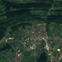
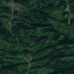
Mountains

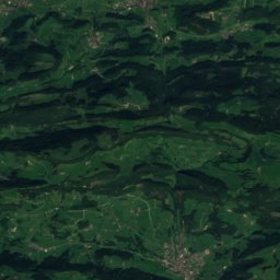
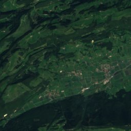
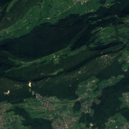
Satellite: Sentinel-2 cloudless 2016 by EOX IT Services GmbH · CC BY 4.0 · Contains modified Copernicus Sentinel data 2016
38 km W

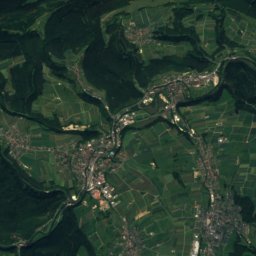
Chamben

1,251 m
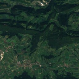
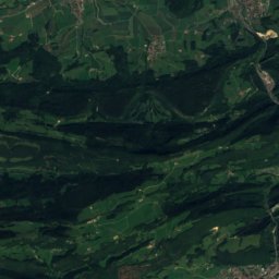
Chamben
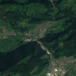
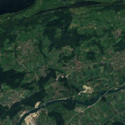
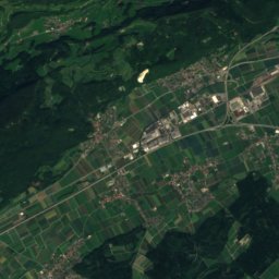
Satellite: Sentinel-2 cloudless 2016 by EOX IT Services GmbH · CC BY 4.0 · Contains modified Copernicus Sentinel data 2016
38 km W

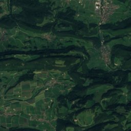
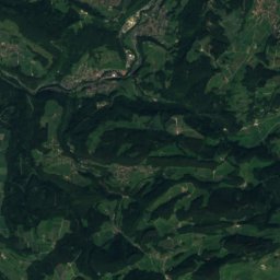
Hornegg

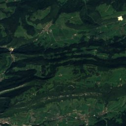
1,225 m
Hornegg
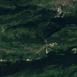
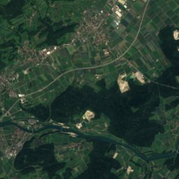
Satellite: Sentinel-2 cloudless 2016 by EOX IT Services GmbH · CC BY 4.0 · Contains modified Copernicus Sentinel data 2016
27 km W

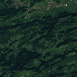
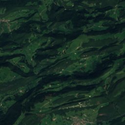
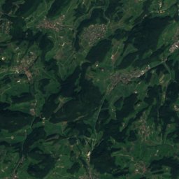
Vogelberg (Passwang)

1,204 m · Jura Mountains
Vogelberg (Passwang)

Heritage

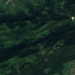
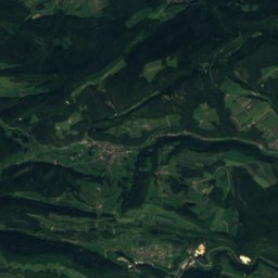
Satellite: Sentinel-2 cloudless 2016 by EOX IT Services GmbH · CC BY 4.0 · Contains modified Copernicus Sentinel data 2016
under 100 m SE

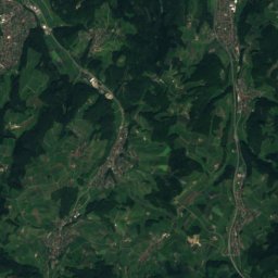
Aarau

Swiss townscape worthy of protection · 1240
Aarau
Amthaus (former hospital then cantonal school)
Photo: Voyager · CC BY-SA 3.0 · Wikimedia CommonsReport this photo · linked, not stored
0.2 km NE

Amthaus (former hospital then cantonal school)

class B Swiss cultural property of regional significance · 1787
Amthaus (former hospital then cantonal school)
Grand Council building, Aarau
Photo: Voyager · CC BY-SA 3.0 · Wikimedia CommonsReport this photo · linked, not stored
0.3 km S

Grand Council building, Aarau

class A Swiss cultural property of national significance · 1828
Grand Council building, Aarau

Museums

Aargau house of art
Photo: Hpschaefer · CC BY 3.0 · Wikimedia CommonsReport this photo · linked, not stored
0.3 km S

Aargau house of art

Art museum · 1959
Aargau house of art
Naturama Aargau
Photo: David Bucher · CC BY-SA 2.0 de · Wikimedia CommonsReport this photo · linked, not stored
0.6 km E

Naturama Aargau

Natural history museum · 2002
Naturama Aargau
Ballyana Archiv
Photo: Urs Peter Herzog · CC0 · Wikimedia CommonsReport this photo · linked, not stored
3.3 km SW

Ballyana Archiv

Ballyana Archiv