
Photo: Port(u*o)s · CC BY-SA 3.0 · Wikimedia Commons
Upper GateReport this photo · linked, not stored
Upper GateReport this photo · linked, not stored

Photo: User:Umschattiger · CC BY-SA 3.0 · Wikimedia Commons
LiestalReport this photo · linked, not stored
LiestalLiestalReport this photo · linked, not stored

Photo: Finke · CC BY-SA 3.0 · Wikimedia Commons
Staatsarchiv Kanton Basel-LandschaftReport this photo · linked, not stored
Staatsarchiv Kanton Basel-LandschaftStaatsarchiv Kanton Basel-LandschaftReport this photo · linked, not stored

Photo: User:Umschattiger · CC BY-SA 3.0 · Wikimedia Commons
Munzach, Roman estateReport this photo · linked, not stored
Munzach, Roman estateMunzach, Roman estateReport this photo · linked, not stored

Photo: Finke · CC BY-SA 3.0 · Wikimedia Commons
Bettenach, Roman to high medieval settlementReport this photo · linked, not stored
Bettenach, Roman to high medieval settlementBettenach, Roman to high medieval settlementReport this photo · linked, not stored
towerLiestal, Basel-Landschaft
Upper Gate
class B Swiss cultural property of regional significance
Typetower
Built–
Best monthsJun · Aug–Sepweather in Liestal
47.48° N, 7.74° EUTC+1 · Central European Standard Time
When to goLiestal · weather score
Best timeJun · Aug–Sep
October: high / low15° / 7°
iAbout
Upper Gate in brief
Upper Gate is a tower in Liestal, Basel-Landschaft, Switzerland.
It holds the designation class B Swiss cultural property of regional significance.
For a visit, the weather in Liestal is best in June, August and September; in October afternoons average 15°.
Facts
- Type
- tower
- Designation
- class B Swiss cultural property of regional significance
- Nearest town
- Liestal
- Region
- Basel-Landschaft
- Coordinates
- 47.48318, 7.73554
iiLocation
Where to find it
ivNearby
All monuments in SwitzerlandMore heritage close by
Staatsarchiv Kanton Basel-Landschaft
0.8 km NW
class A Swiss cultural property of national significance
Munzach, Roman estate
1.3 km NW
class A Swiss cultural property of national significance
Bettenach, Roman to high medieval settlement
1.8 km SE
class A Swiss cultural property of national significance


·Hiking
Hikes nearby
Routes that pass right by it.

T1Liestal - Bintal - BienenbergBasel-Landschaft3.1 kmdistance49 mascent1 htimeLiestal - Bintal - Bienenberg
T1Basler JubiläumswegBasel-Landschaft · circular26.6 kmdistance612 mascent8 h 25 mintimeBasler Jubiläumsweg
Around here
Liestal and around
Nature

Photo: The original uploader was Sissacher at German Wikipedia. · CC BY-SA 3.0 · Wikimedia CommonsReport this photo · linked, not stored
Ergolz
River · 266 m

Mountains


Photo: Andreas Schwarzkopf edited by Milseburg · CC BY-SA 3.0 · Wikimedia CommonsReport this photo · linked, not stored
Belchen
1,414 m · Black Forest
Heritage
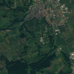
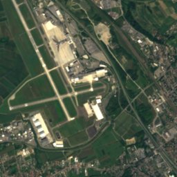
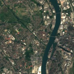
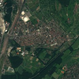
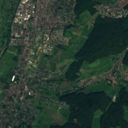
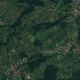
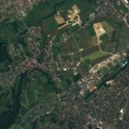
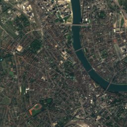
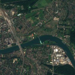
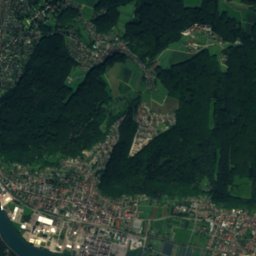
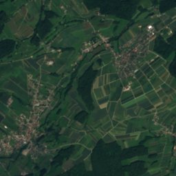
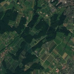
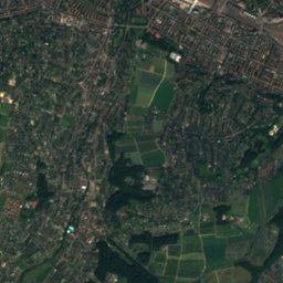
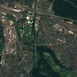
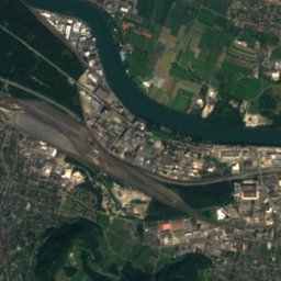
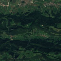
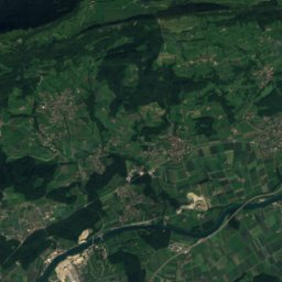
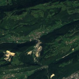
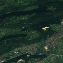
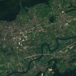
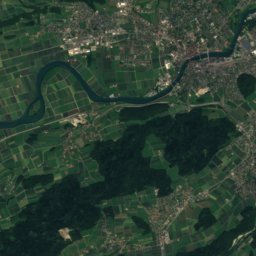
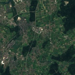
Satellite: Sentinel-2 cloudless 2016 by EOX IT Services GmbH · CC BY 4.0 · Contains modified Copernicus Sentinel data 2016
Liestal
Swiss townscape worthy of protection
Munzach, Roman estate
class A Swiss cultural property of national significance


