Skip to content
Destinations
Weather & climate
Nature
Outdoors
Culture
Events
Sky & live
Rectory
Photo: Adrian Michael · CC BY-SA 3.0 · Wikimedia Commons
RectoryReport this photo · linked, not stored
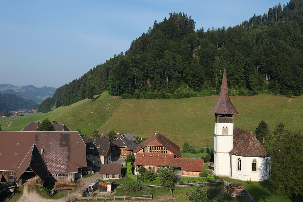
Trub
Photo: Roland Zumbuehl · CC BY 3.0 · Wikimedia Commons
TrubReport this photo · linked, not stored
Trub
architectural ensembleTrub, Bern

Rectory

Swiss cultural property of cantonal or local significanceBuilt 1756
Typearchitectural ensemble
Built1756
Best monthsJun–Augweather in Trub
46.94° N, 7.88° EUTC+1 · Central European Standard Time
Standing for270 years
built 1756today 2026
When to goTrub · weather score
JanFebMarAprMayJunJulAugSepOctNovDec35October
Best timeJun–Aug
October: high / low13° / 4°
iAbout

Rectory in brief

Rectory is an architectural ensemble in Trub, Bern, Switzerland.

It holds the designation Swiss cultural property of cantonal or local significance.

The architectural ensemble dates from 1756.

For a visit, the weather in Trub is best in June, July and August; in October afternoons average 13°.

Trub: weather and travel guide

Facts

Type
architectural ensemble
Designation
Swiss cultural property of cantonal or local significance
Built
1756
Nearest town
Trub
Region
Bern
Coordinates
46.94377, 7.87721
iiLocation

Where to find it

iiiWhen to visit

Weather in Trub

Climate guide

Month score for sightseeing

Best Jun–Aug
20
Jan
24
Feb
19
Mar
32
Apr
52
May
62
Jun
65
Jul
65
Aug
59
Sep
35
Oct
18
Nov
18
Dec
ivNearby

More heritage close by

All monuments in Switzerland
Trub
Photo: Roland Zumbuehl · CC BY 3.0 · Wikimedia CommonsReport this photo · linked, not stored

Trub

1.3 km S
Swiss townscape worthy of protection
Trub
Around here

Trub and around

Trub
Photo: Roland Zumbuehl · CC BY 3.0 · Wikimedia CommonsReport this photo · linked, not stored

Trub

Bern · Switzerland
Jun–Augbest months
22°July high
795 maltitude
Trub

Nature

Ilfis
Photo: DidiWeidmann · CC BY-SA 3.0 · Wikimedia CommonsReport this photo · linked, not stored
9.9 km W

Ilfis

River
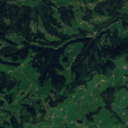
Ilfis
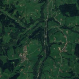
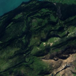
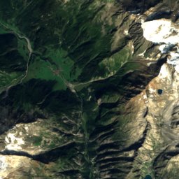
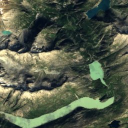
Satellite: Sentinel-2 cloudless 2016 by EOX IT Services GmbH · CC BY 4.0 · Contains modified Copernicus Sentinel data 2016
11 km NE

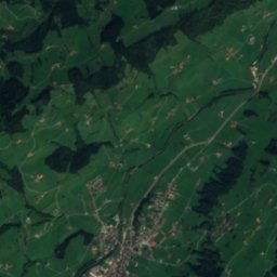
Seeblibach

River
Seeblibach
Soppensee
Photo: Roland Zumbuehl · CC BY 3.0 · Wikimedia CommonsReport this photo · linked, not stored
22 km NE

Soppensee

Lake · 596 m
Soppensee

Mountains

Mittelhorn
Photo: W. Bulach · CC BY-SA 4.0 · Wikimedia CommonsReport this photo · linked, not stored
39 km SE

Mittelhorn

3,702 m · Schreckhorn-Wetterhorn Group
Mittelhorn
Wetterhorn
Photo: Xperience · Public domain · Wikimedia CommonsReport this photo · linked, not stored
38 km SE

Wetterhorn

3,690 m · Schreckhorn-Wetterhorn Group
Wetterhorn
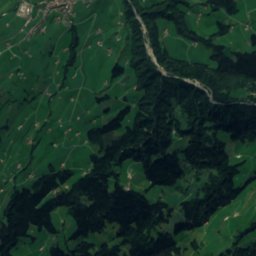
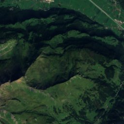
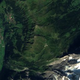
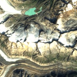
Satellite: Sentinel-2 cloudless 2016 by EOX IT Services GmbH · CC BY 4.0 · Contains modified Copernicus Sentinel data 2016
40 km SE

Rosenhorn

3,689 m · Schreckhorn-Wetterhorn Group
Rosenhorn

Heritage
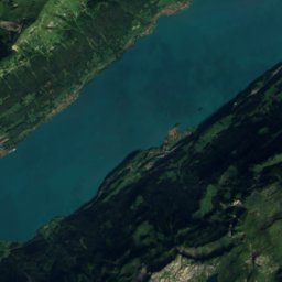
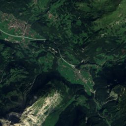
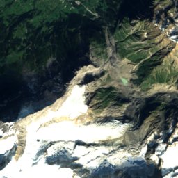
Satellite: Sentinel-2 cloudless 2016 by EOX IT Services GmbH · CC BY 4.0 · Contains modified Copernicus Sentinel data 2016
1.0 km S

Trub

Swiss townscape worthy of protection
Trub
Langnau im Emmental
Photo: DidiWeidmann · CC BY-SA 3.0 · Wikimedia CommonsReport this photo · linked, not stored
7.2 km W

Langnau im Emmental

Swiss townscape worthy of protection
Langnau im Emmental
Sumiswald
Photo: WillYs Fotowerkstatt · CC BY 3.0 · Wikimedia CommonsReport this photo · linked, not stored
14 km NW

Sumiswald

Swiss townscape worthy of protection
Sumiswald

Museums

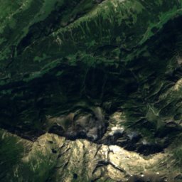
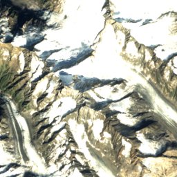
Satellite: Sentinel-2 cloudless 2016 by EOX IT Services GmbH · CC BY 4.0 · Contains modified Copernicus Sentinel data 2016
11 km E

Museum Entlebucherhaus

Local museum
Museum Entlebucherhaus
Satellite: Sentinel-2 cloudless 2016 by EOX IT Services GmbH · CC BY 4.0 · Contains modified Copernicus Sentinel data 2016
14 km NW

Schweizer Zither-Kulturzentrum

Schweizer Zither-Kulturzentrum