Skip to content
Destinations
Weather & climate
Nature
Outdoors
Culture
Events
Sky & live
Iselisberg
Photo: Plutowiki · CC0 · Wikimedia Commons
IselisbergReport this photo · linked, not stored
Helfenberg Castle
Photo: Berger~commonswiki · Public domain · Wikimedia Commons
Helfenberg CastleReport this photo · linked, not stored
Helfenberg Castle
Wilen bei Neunforn
Photo: Plutowiki · CC0 · Wikimedia Commons
Wilen bei NeunfornReport this photo · linked, not stored
Wilen bei Neunforn
Former Ittingen Charterhouse
Photo: Adrian Michael · CC BY-SA 3.0 · Wikimedia Commons
Former Ittingen CharterhouseReport this photo · linked, not stored
Former Ittingen Charterhouse
Nussbaumersee
Photo: Tschubby · CC BY-SA 3.0 · Wikimedia Commons
NussbaumerseeReport this photo · linked, not stored
Nussbaumersee
human settlementIselisberg, Thurgau

Iselisberg

Swiss townscape worthy of protection
Typehuman settlement
Built–
Best monthsJul–Sepweather in Iselisberg
47.59° N, 8.83° EUTC+1 · Central European Standard Time
When to goIselisberg · weather score
JanFebMarAprMayJunJulAugSepOctNovDec46October
Best timeJul–Sep
October: high / low14° / 6°
iAbout

Iselisberg in brief

Iselisberg is a human settlement in Iselisberg, Thurgau, Switzerland.

It holds the designation Swiss townscape worthy of protection.

For a visit, the weather in Iselisberg is best in July, August and September; in October afternoons average 14°.

Iselisberg: weather and travel guide

Facts

Type
human settlement
Designation
Swiss townscape worthy of protection
Nearest town
Iselisberg
Region
Thurgau
Coordinates
47.58640, 8.82668
iiLocation

Where to find it

iiiWhen to visit

Weather in Iselisberg

Climate guide

Month score for sightseeing

Best Jul–Sep
20
Jan
27
Feb
25
Mar
52
Apr
63
May
65
Jun
67
Jul
66
Aug
68
Sep
46
Oct
24
Nov
18
Dec
ivNearby

More heritage close by

All monuments in Switzerland
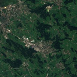
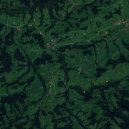
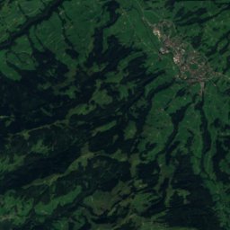
Satellite: Sentinel-2 cloudless 2016 by EOX IT Services GmbH · CC BY 4.0 · Contains modified Copernicus Sentinel data 2016

Trüttlikon

1.3 km NW
Swiss townscape worthy of protection
Trüttlikon
Helfenberg Castle
Photo: Berger~commonswiki · Public domain · Wikimedia CommonsReport this photo · linked, not stored

Helfenberg Castle

2.8 km N
class B Swiss cultural property of regional significance
Helfenberg Castle
Wilen bei Neunforn
Photo: Plutowiki · CC0 · Wikimedia CommonsReport this photo · linked, not stored

Wilen bei Neunforn

2.9 km NW
Swiss townscape worthy of protection
Wilen bei Neunforn
Former Ittingen Charterhouse
Photo: Adrian Michael · CC BY-SA 3.0 · Wikimedia CommonsReport this photo · linked, not stored

Former Ittingen Charterhouse

3.0 km E
besonders wertvoll (Thurgau)
Former Ittingen Charterhouse
Nussbaumersee
Photo: Tschubby · CC BY-SA 3.0 · Wikimedia CommonsReport this photo · linked, not stored

Nussbaumersee

3.4 km N
part of UNESCO World Heritage Site
Nussbaumersee
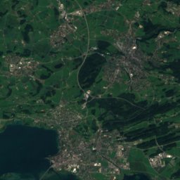
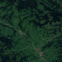
Satellite: Sentinel-2 cloudless 2016 by EOX IT Services GmbH · CC BY 4.0 · Contains modified Copernicus Sentinel data 2016

Niederneunforn

3.6 km W
Swiss townscape worthy of protection
Niederneunforn
·Hiking

Hikes nearby

Routes that pass right by it.

Thurgauer Rebenweg (Oberneunforn)
Photo: Plutowiki · CC0 · Wikimedia CommonsReport this photo · linked, not stored
T1
Thurgauer Rebenweg (Oberneunforn)Thurgau · official14.2 kmdistance240 mascent3 h 35 mintimeThurgauer Rebenweg (Oberneunforn)
Around here

Iselisberg and around

Iselisberg
Photo: Plutowiki · CC0 · Wikimedia CommonsReport this photo · linked, not stored

Iselisberg

Thurgau · Switzerland
Jul–Sepbest months
25°July high
506 maltitude
Iselisberg

Nature

Hüttwilersee
Photo: Berger~commonswiki · Public domain · Wikimedia CommonsReport this photo · linked, not stored
2.8 km NE

Hüttwilersee

Lake · 434 m
Hüttwilersee
Nussbaumersee
Photo: Tschubby · CC BY-SA 3.0 · Wikimedia CommonsReport this photo · linked, not stored
3.3 km N

Nussbaumersee

Lake · 434 m
Nussbaumersee
Murg, Thurgau
Photo: Adrian Michael · CC BY-SA 3.0 · Wikimedia CommonsReport this photo · linked, not stored
4.4 km E

Murg, Thurgau

River
Murg, Thurgau

Mountains

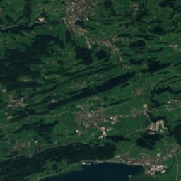
Satellite: Sentinel-2 cloudless 2016 by EOX IT Services GmbH · CC BY 4.0 · Contains modified Copernicus Sentinel data 2016
36 km SE

Tweralpspitz

1,331 m · Appenzell Alps
Tweralpspitz
Höchhand
Photo: Paul Dober · CC BY 3.0 · Wikimedia CommonsReport this photo · linked, not stored
34 km S

Höchhand

1,314 m · Appenzell Alps
Höchhand
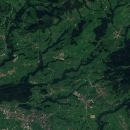
Satellite: Sentinel-2 cloudless 2016 by EOX IT Services GmbH · CC BY 4.0 · Contains modified Copernicus Sentinel data 2016
35 km SE

Chrüzegg, Saint Gallen

1,314 m
Chrüzegg, Saint Gallen

Heritage

Wilen bei Neunforn
Photo: Plutowiki · CC0 · Wikimedia CommonsReport this photo · linked, not stored
2.8 km NW

Wilen bei Neunforn

Swiss townscape worthy of protection
Wilen bei Neunforn
Former Ittingen Charterhouse
Photo: Adrian Michael · CC BY-SA 3.0 · Wikimedia CommonsReport this photo · linked, not stored
3.0 km E

Former Ittingen Charterhouse

besonders wertvoll (Thurgau)
Former Ittingen Charterhouse
Helfenberg Castle
Photo: Berger~commonswiki · Public domain · Wikimedia CommonsReport this photo · linked, not stored
2.6 km N

Helfenberg Castle

class B Swiss cultural property of regional significance
Helfenberg Castle

Museums

Museum of Art of the Canton of Thurgau
Photo: Nofnof · CC BY-SA 3.0 · Wikimedia CommonsReport this photo · linked, not stored
3.0 km E

Museum of Art of the Canton of Thurgau

Art museum · 1935
Museum of Art of the Canton of Thurgau
Satellite: Sentinel-2 cloudless 2016 by EOX IT Services GmbH · CC BY 4.0 · Contains modified Copernicus Sentinel data 2016
2.9 km E

Ittinger Museum

History museum
Ittinger Museum
Museum collection Am Römerholz
Photo: Roland zh · CC BY-SA 3.0 · Wikimedia CommonsReport this photo · linked, not stored
11 km SW

Museum collection Am Römerholz

Art museum
Museum collection Am Römerholz