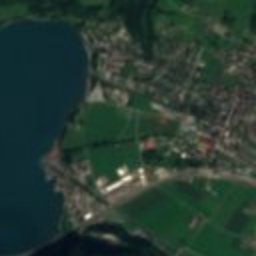
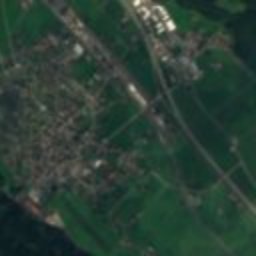
Satellite: Sentinel-2 cloudless 2016 by EOX IT Services GmbH · CC BY 4.0 · Contains modified Copernicus Sentinel data 2016

Photo: Maulaff · CC BY-SA 3.0 · Wikimedia Commons
St. Justus catholic churchReport this photo · linked, not stored
St. Justus catholic churchSt. Justus catholic churchReport this photo · linked, not stored

Photo: Andreas Aschwanden · CC BY-SA 3.0 · Wikimedia Commons
St. Georgs chapelReport this photo · linked, not stored
St. Georgs chapelSt. Georgs chapelReport this photo · linked, not stored

Photo: Wandersmaa · CC BY-SA 4.0 · Wikimedia Commons
The so-called Walser Town Hall in PalfriesReport this photo · linked, not stored
The so-called Walser Town Hall in PalfriesThe so-called Walser Town Hall in PalfriesReport this photo · linked, not stored
municipality of SwitzerlandFlums, Saint Gallen
Flums
Swiss townscape worthy of protection
Typemunicipality of Switzerland
Built–
Best monthsJun–Augweather in Flums
47.09° N, 9.34° EUTC+1 · Central European Standard Time
When to goFlums · weather score
Best timeJun–Aug
October: high / low16° / 7°
iAbout
Flums in brief
Flums is a municipality of switzerland in Flums, Saint Gallen, Switzerland.
It holds the designation Swiss townscape worthy of protection.
For a visit, the weather in Flums is best in June, July and August; in October afternoons average 16°.
Facts
- Type
- municipality of Switzerland
- Designation
- Swiss townscape worthy of protection
- Nearest town
- Flums
- Region
- Saint Gallen
- Coordinates
- 47.09280, 9.34390
iiLocation
Where to find it
iiiWhen to visit
Climate guideWeather in Flums
Month score for sightseeing
Best Jun–Aug21
Jan
24
Feb
26
Mar
51
Apr
63
May
64
Jun
65
Jul
65
Aug
63
Sep
51
Oct
23
Nov
19
Dec
ivNearby
All monuments in SwitzerlandMore heritage close by
St. Justus catholic church
0.2 km S
class A Swiss cultural property of national significance
Satellite: Sentinel-2 cloudless 2016 by EOX IT Services GmbH · CC BY 4.0 · Contains modified Copernicus Sentinel data 2016
Gräpplang, Bronze Age hilltop settlement / medieval castle ruins
1.4 km NW
class A Swiss cultural property of national significance
Satellite: Sentinel-2 cloudless 2016 by EOX IT Services GmbH · CC BY 4.0 · Contains modified Copernicus Sentinel data 2016
Walenstadt
4.0 km NW
Swiss townscape worthy of protection
The so-called Walser Town Hall in Palfries
4.3 km E
class A Swiss cultural property of national significance
Around here
Flums and around
Nature


Mountains


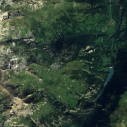
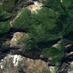
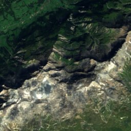
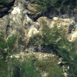
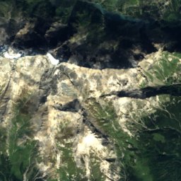
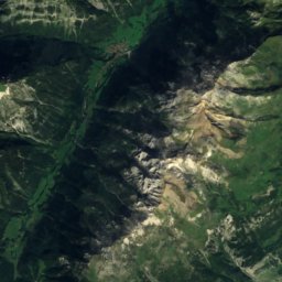
Satellite: Sentinel-2 cloudless 2016 by EOX IT Services GmbH · CC BY 4.0 · Contains modified Copernicus Sentinel data 2016
Glaserhorn
3,128 m · Tamina Alps
Heritage
St. Justus catholic church
class A Swiss cultural property of national significance
Satellite: Sentinel-2 cloudless 2016 by EOX IT Services GmbH · CC BY 4.0 · Contains modified Copernicus Sentinel data 2016
St. Georgs chapel
class A Swiss cultural property of national significance
Satellite: Sentinel-2 cloudless 2016 by EOX IT Services GmbH · CC BY 4.0 · Contains modified Copernicus Sentinel data 2016
Gräpplang, Bronze Age hilltop settlement / medieval castle ruins
class A Swiss cultural property of national significance · 1100
Museums




Satellite: Sentinel-2 cloudless 2016 by EOX IT Services GmbH · CC BY 4.0 · Contains modified Copernicus Sentinel data 2016
Kunstmuseum Liechtenstein
Art museum · 2000