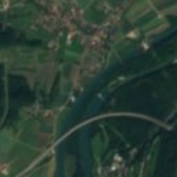
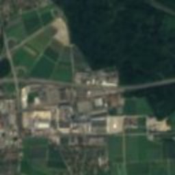
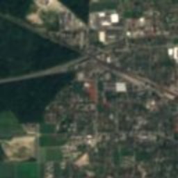
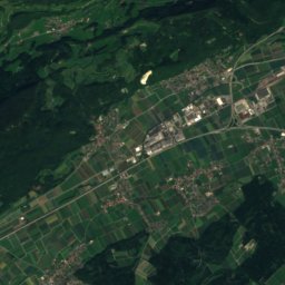
Satellite: Sentinel-2 cloudless 2016 by EOX IT Services GmbH · CC BY 4.0 · Contains modified Copernicus Sentinel data 2016

Photo: PantaRhei · CC BY-SA 4.0 · Wikimedia Commons
Biberstein CastleReport this photo · linked, not stored
Biberstein CastleBiberstein CastleReport this photo · linked, not stored

Photo: Lutz Fischer-Lamprecht · CC BY-SA 4.0 · Wikimedia Commons
evangelical-reformed parish church, KüttigenReport this photo · linked, not stored
evangelical-reformed parish church, Küttigenevangelical-reformed parish church, KüttigenReport this photo · linked, not stored

Photo: Saippuakauppias · CC BY-SA 2.5 · Wikimedia Commons
Schellen bridgeReport this photo · linked, not stored
Schellen bridgeSchellen bridgeReport this photo · linked, not stored

Photo: Voyager · CC BY-SA 3.0 · Wikimedia Commons
evangelical reformed parish church, ThalheimReport this photo · linked, not stored
evangelical reformed parish church, Thalheimevangelical reformed parish church, ThalheimReport this photo · linked, not stored
municipality of SwitzerlandBiberstein, Aargau
Biberstein
Swiss townscape worthy of protection
Typemunicipality of Switzerland
Built–
Best monthsJun · Aug–Sepweather in Biberstein
47.41° N, 8.08° EUTC+1 · Central European Standard Time
When to goBiberstein · weather score
Best timeJun · Aug–Sep
October: high / low15° / 7°
iAbout
Biberstein in brief
Biberstein is a municipality of switzerland in Biberstein, Aargau, Switzerland.
It holds the designation Swiss townscape worthy of protection.
For a visit, the weather in Biberstein is best in June, August and September; in October afternoons average 15°.
Facts
- Type
- municipality of Switzerland
- Designation
- Swiss townscape worthy of protection
- Nearest town
- Biberstein
- Region
- Aargau
- Coordinates
- 47.41410, 8.08180
iiLocation
Where to find it
iiiWhen to visit
Climate guideWeather in Biberstein
Month score for sightseeing
Best Jun · Aug–Sep19
Jan
26
Feb
27
Mar
52
Apr
62
May
65
Jun
65
Jul
66
Aug
68
Sep
46
Oct
21
Nov
18
Dec
ivNearby
All monuments in SwitzerlandMore heritage close by
Photo: Lutz Fischer-Lamprecht · CC BY-SA 4.0 · Wikimedia CommonsReport this photo · linked, not stored
evangelical-reformed parish church, Küttigen
1.4 km W
class B Swiss cultural property of regional significance
Satellite: Sentinel-2 cloudless 2016 by EOX IT Services GmbH · CC BY 4.0 · Contains modified Copernicus Sentinel data 2016
Telli Housing Estate
2.3 km SW
class B Swiss cultural property of regional significance
evangelical reformed parish church, Thalheim
2.6 km NE
class B Swiss cultural property of regional significance

Photo: Lutz Fischer-Lamprecht · CC BY-SA 4.0 · Wikimedia CommonsReport this photo · linked, not stored
Thalheim
3.1 km NE
Swiss townscape worthy of protection
Around here
Biberstein and around

Nature

Photo: Dietrich Michael Weidmann · CC BY-SA 3.0 · Wikimedia CommonsReport this photo · linked, not stored
Suhre
River · 386 m

Photo: Dietrich Michael Weidmann · CC BY-SA 3.0 · Wikimedia CommonsReport this photo · linked, not stored
Wyna
River

Mountains

Photo: Tourist-Information Todtmoos · CC BY-SA 3.0 · Wikimedia CommonsReport this photo · linked, not stored
Hochkopf (Southern Black Forest)
1,263 m · Black Forest
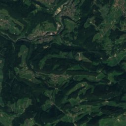
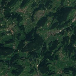
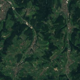
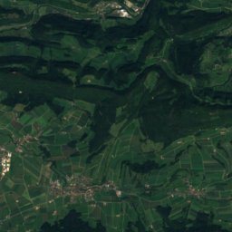
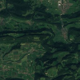
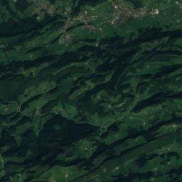
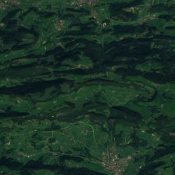
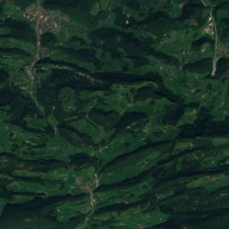
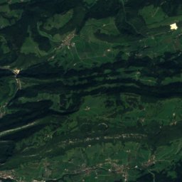
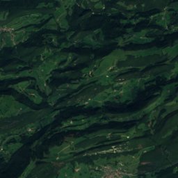
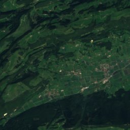
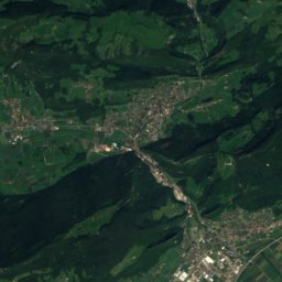
Satellite: Sentinel-2 cloudless 2016 by EOX IT Services GmbH · CC BY 4.0 · Contains modified Copernicus Sentinel data 2016
Vogelberg (Passwang)
1,204 m · Jura Mountains

Photo: David Croll (Keimzelle at de.wikipedia) · CC BY-SA 2.0 de · Wikimedia CommonsReport this photo · linked, not stored
Upper Winde
1,204 m · Jura Mountains
Heritage
Photo: Lutz Fischer-Lamprecht · CC BY-SA 4.0 · Wikimedia CommonsReport this photo · linked, not stored
Thalheim
Swiss townscape worthy of protection
Biberstein Castle
class B Swiss cultural property of regional significance · 1280
Schellen bridge
class B Swiss cultural property of regional significance · 1804
Museums

Satellite: Sentinel-2 cloudless 2016 by EOX IT Services GmbH · CC BY 4.0 · Contains modified Copernicus Sentinel data 2016
Local museum of Buchs
Local museum · 1981


Satellite: Sentinel-2 cloudless 2016 by EOX IT Services GmbH · CC BY 4.0 · Contains modified Copernicus Sentinel data 2016
Local museum Rupperswil
Local museum · 1984