
Photo: User 9or Svensson · CC BY-SA 3.0 · Wikimedia Commons
VingaReport this photo · linked, not stored
VingaReport this photo · linked, not stored
islandFotö, Västra Götaland
Vinga
governmental listed building complex
Typeisland
Built–
Best monthsJun–Augweather in Fotö
57.63° N, 11.60° EUTC+2 · Central European Summer Time
When to goFotö · weather score
Best timeJun–Aug
October: high / low12° / 8°
iAbout
Vinga in brief
Vinga is an island in Fotö, Västra Götaland, Sweden. Island in the Gothenburg archipelago.
It holds the designation governmental listed building complex.
For a visit, the weather in Fotö is best in June, July and August; in October afternoons average 12°.
Facts
- Type
- island
- Designation
- governmental listed building complex
- Nearest town
- Fotö
- Region
- Västra Götaland
- Coordinates
- 57.63286, 11.60486
iiLocation
Where to find it
iiiWhen to visit
Climate guideWeather in Fotö
Month score for sightseeing
Best Jun–Aug15
Jan
17
Feb
25
Mar
37
Apr
51
May
70
Jun
67
Jul
68
Aug
60
Sep
28
Oct
17
Nov
15
Dec
ivNearby
All monuments in SwedenMore heritage close by
Around here
Fotö and around
Nature





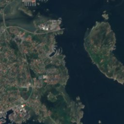
Satellite: Sentinel-2 cloudless 2016 by EOX IT Services GmbH · CC BY 4.0 · Contains modified Copernicus Sentinel data 2016
Kröckle kyrka
Cave


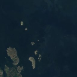
Satellite: Sentinel-2 cloudless 2016 by EOX IT Services GmbH · CC BY 4.0 · Contains modified Copernicus Sentinel data 2016
Skalkeli körka
Cave


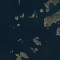


Satellite: Sentinel-2 cloudless 2016 by EOX IT Services GmbH · CC BY 4.0 · Contains modified Copernicus Sentinel data 2016
Jättens håla
Cave
Mountains

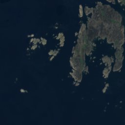
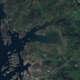
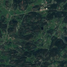
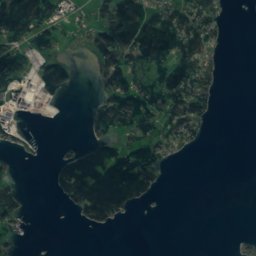


Satellite: Sentinel-2 cloudless 2016 by EOX IT Services GmbH · CC BY 4.0 · Contains modified Copernicus Sentinel data 2016
Vetteberget
116 m
Heritage








Satellite: Sentinel-2 cloudless 2016 by EOX IT Services GmbH · CC BY 4.0 · Contains modified Copernicus Sentinel data 2016
Vinga lighthouse
governmental listed building · 1889

Museums


Satellite: Sentinel-2 cloudless 2016 by EOX IT Services GmbH · CC BY 4.0 · Contains modified Copernicus Sentinel data 2016
Fiskemuseet Hönö

Satellite: Sentinel-2 cloudless 2016 by EOX IT Services GmbH · CC BY 4.0 · Contains modified Copernicus Sentinel data 2016


