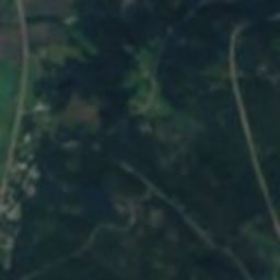
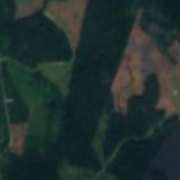
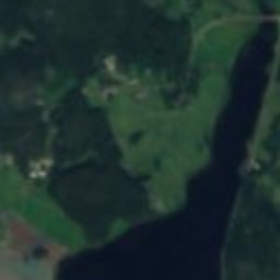
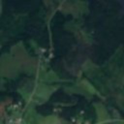
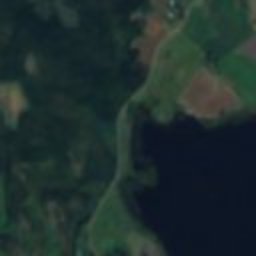
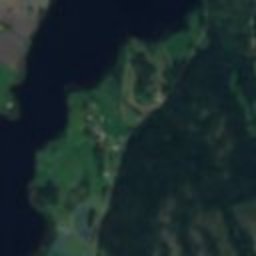
Satellite: Sentinel-2 cloudless 2016 by EOX IT Services GmbH · CC BY 4.0 · Contains modified Copernicus Sentinel data 2016
 Torsåkers kyrka

Photo: Henrik Sendelbach · CC BY-SA 3.0 · Wikimedia Commons
Styrnäs ChurchReport this photo · linked, not stored
Styrnäs ChurchStyrnäs ChurchReport this photo · linked, not stored
sconceSandslån, Västernorrland
Styresholm
monument in Fornminnesregistret
Typesconce
Built–
Best monthsJun–Augweather in Sandslån
63.08° N, 17.76° EUTC+2 · Central European Summer Time
When to goSandslån · weather score
Best timeJun–Aug
October: high / low8° / 0°
iAbout
Styresholm in brief
Styresholm is a sconce in Sandslån, Västernorrland, Sweden.
It holds the designation monument in Fornminnesregistret.
For a visit, the weather in Sandslån is best in June, July and August; in October afternoons average 8°.
Facts
- Type
- sconce
- Designation
- monument in Fornminnesregistret
- Nearest town
- Sandslån
- Region
- Västernorrland
- Coordinates
- 63.07694, 17.76111
iiLocation
Where to find it
iiiWhen to visit
Climate guideWeather in Sandslån
Month score for sightseeing
Best Jun–Aug19
Jan
30
Feb
26
Mar
29
Apr
60
May
66
Jun
64
Jul
62
Aug
48
Sep
17
Oct
15
Nov
17
Dec
ivNearby
All monuments in SwedenMore heritage close by
Around here
Sandslån and around

Nature

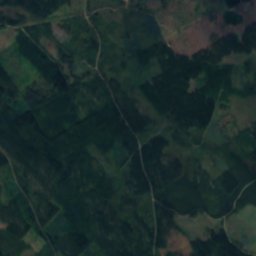
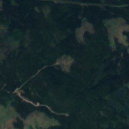
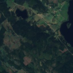
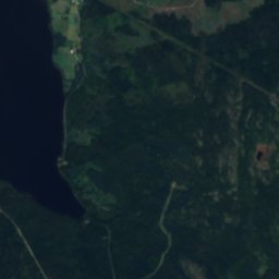
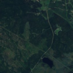
Satellite: Sentinel-2 cloudless 2016 by EOX IT Services GmbH · CC BY 4.0 · Contains modified Copernicus Sentinel data 2016
Bussjön, Västernorrland
Lake · 74 m
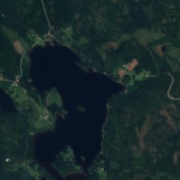
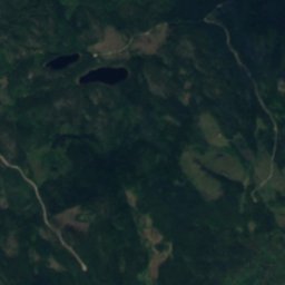
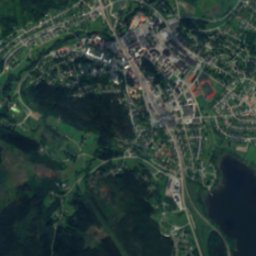
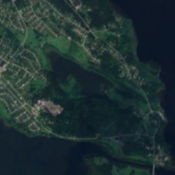
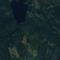
Satellite: Sentinel-2 cloudless 2016 by EOX IT Services GmbH · CC BY 4.0 · Contains modified Copernicus Sentinel data 2016
Västra Högstasjön
Lake · 62 m
Mountains


Heritage


Museums









Satellite: Sentinel-2 cloudless 2016 by EOX IT Services GmbH · CC BY 4.0 · Contains modified Copernicus Sentinel data 2016
Ådalens industrimuseum
Satellite: Sentinel-2 cloudless 2016 by EOX IT Services GmbH · CC BY 4.0 · Contains modified Copernicus Sentinel data 2016
Flottningsmuseum
Satellite: Sentinel-2 cloudless 2016 by EOX IT Services GmbH · CC BY 4.0 · Contains modified Copernicus Sentinel data 2016