Photo: Taavi Väänänen · CC BY-SA 4.0 · Wikimedia Commons
StorlienReport this photo · linked, not stored
StorlienReport this photo · linked, not stored
architectural ensembleStorlien, Jämtland
Storlien
governmental listed building complexBuilt 1881
Typearchitectural ensemble
Built1881by Adolf W. Edelsvärd
Best monthsJun–Augweather in Storlien
63.32° N, 12.10° EUTC+1 · Central European Standard Time
Standing for145 years
built 1881today 2026
When to goStorlien · weather score
Best timeJun–Aug
October: high / low5° / -1°
iAbout
Storlien in brief
Storlien is an architectural ensemble in Storlien, Jämtland, Sweden.
It holds the designation governmental listed building complex.
The architectural ensemble dates from 1881 and was designed by Adolf W. Edelsvärd.
For a visit, the weather in Storlien is best in June, July and August; in October afternoons average 5°.
iiLocation
Where to find it
iiiWhen to visit
Climate guideWeather in Storlien
Month score for sightseeing
Best Jun–Aug15
Jan
16
Feb
16
Mar
18
Apr
19
May
35
Jun
52
Jul
45
Aug
22
Sep
16
Oct
15
Nov
15
Dec
Around here
Storlien and around

Nature
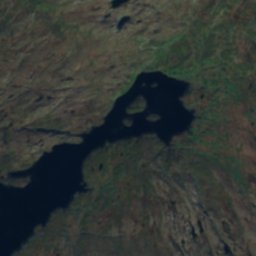
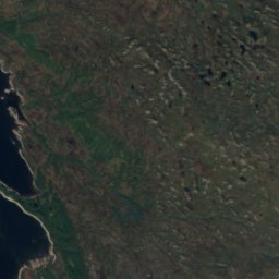
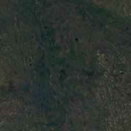
Satellite: Sentinel-2 cloudless 2016 by EOX IT Services GmbH · CC BY 4.0 · Contains modified Copernicus Sentinel data 2016
Kruehkiejaevrie
Lake · 703 m
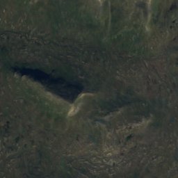
Satellite: Sentinel-2 cloudless 2016 by EOX IT Services GmbH · CC BY 4.0 · Contains modified Copernicus Sentinel data 2016
Guevtelesjaevrie
Lake · 851 m
Satellite: Sentinel-2 cloudless 2016 by EOX IT Services GmbH · CC BY 4.0 · Contains modified Copernicus Sentinel data 2016
Brudesløret, Kopperå
Waterfall
Mountains
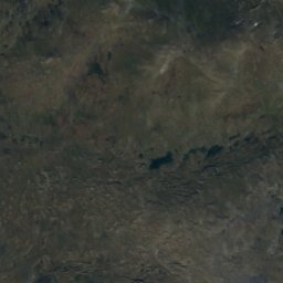
Satellite: Sentinel-2 cloudless 2016 by EOX IT Services GmbH · CC BY 4.0 · Contains modified Copernicus Sentinel data 2016
Storsylen
1,764 m · Sylan

Satellite: Sentinel-2 cloudless 2016 by EOX IT Services GmbH · CC BY 4.0 · Contains modified Copernicus Sentinel data 2016
Västra Bunnerstöten
1,555 m
Heritage

Photo: Widerøes Flyveselskap · Public domain · Wikimedia CommonsReport this photo · linked, not stored
Stordalen Chapel
cultural heritage preservation in Norway · 1863