
Photo: Schorle · CC BY-SA 3.0 · Wikimedia Commons
När lighthouseReport this photo · linked, not stored
När lighthouseReport this photo · linked, not stored
sector lightBurs, Gotland
När lighthouse
governmental listed building complexgovernmental listed buildingBuilt 1872
Typesector light
Built1872by Gustaf Emil Höjer, Albert Theodor Gellerstedt
Best monthsMay–Julweather in Burs
57.22° N, 18.68° EUTC+1 · Central European Standard Time
Standing for154 years
built 1872today 2026
When to goBurs · weather score
Best timeMay–Jul
October: high / low11° / 6°
iAbout
När lighthouse in brief
När lighthouse is a sector light in Burs, Gotland, Sweden.
It holds the designations governmental listed building complex and governmental listed building.
The sector light dates from 1872 and was designed by Gustaf Emil Höjer, Albert Theodor Gellerstedt.
For a visit, the weather in Burs is best in May, June and July; in October afternoons average 11°.
iiLocation
Where to find it
iiiWhen to visit
Climate guideWeather in Burs
Month score for sightseeing
Best May–Jul14
Jan
23
Feb
31
Mar
45
Apr
72
May
79
Jun
73
Jul
72
Aug
70
Sep
26
Oct
18
Nov
15
Dec
Around here
Burs and around

Nature

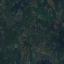
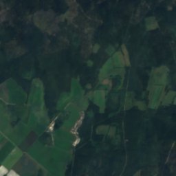
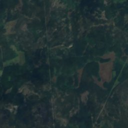
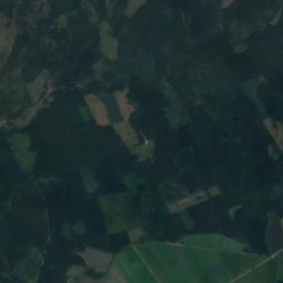
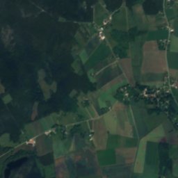
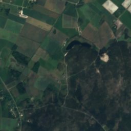
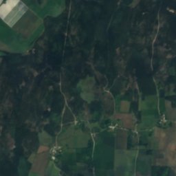
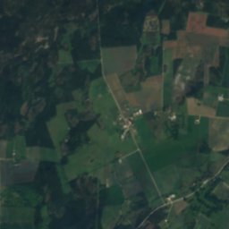
Satellite: Sentinel-2 cloudless 2016 by EOX IT Services GmbH · CC BY 4.0 · Contains modified Copernicus Sentinel data 2016
Sigvaldeträsk
Lake · 41 m
Heritage


Museums
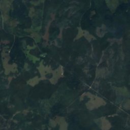
Satellite: Sentinel-2 cloudless 2016 by EOX IT Services GmbH · CC BY 4.0 · Contains modified Copernicus Sentinel data 2016
Sojdesmuseet
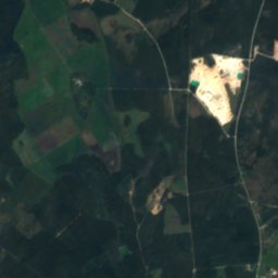
Satellite: Sentinel-2 cloudless 2016 by EOX IT Services GmbH · CC BY 4.0 · Contains modified Copernicus Sentinel data 2016
Burs Fattigstuga


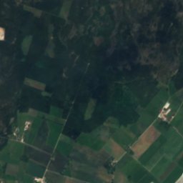
Satellite: Sentinel-2 cloudless 2016 by EOX IT Services GmbH · CC BY 4.0 · Contains modified Copernicus Sentinel data 2016
Såide-muséet
Local museum