
architectural ensembleRottneros, Värmland
Mårbacka
individual listed building complexBuilt 1796
Typearchitectural ensemble
Built1796by Isak Gustaf Clason
Best monthsJun–Augweather in Rottneros
59.78° N, 13.23° EUTC+1 · Central European Standard Time
Standing for230 years
built 1796today 2026
When to goRottneros · weather score
Best timeJun–Aug
October: high / low10° / 2°
iAbout
Mårbacka in brief
Mårbacka is an architectural ensemble in Rottneros, Värmland, Sweden.
It holds the designation individual listed building complex.
The architectural ensemble dates from 1796 and was designed by Isak Gustaf Clason.
For a visit, the weather in Rottneros is best in June, July and August; in October afternoons average 10°.
iiLocation
Where to find it
iiiWhen to visit
Climate guideWeather in Rottneros
Month score for sightseeing
Best Jun–Aug15
Jan
21
Feb
26
Mar
30
Apr
53
May
64
Jun
65
Jul
64
Aug
54
Sep
16
Oct
13
Nov
15
Dec
Around here
Rottneros and around

Photo: Boberger. Photo: Bengt Oberger · CC BY 3.0 · Wikimedia CommonsReport this photo · linked, not stored
Rottneros
Värmland · Sweden
Jun–Augbest months
22°July high
122 maltitude
Nature

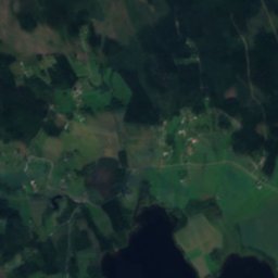
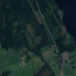
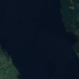
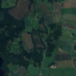
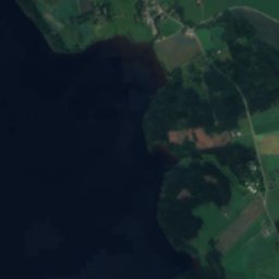
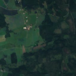
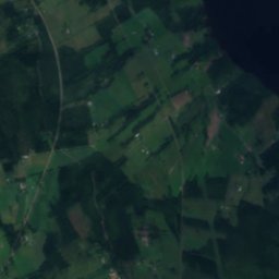
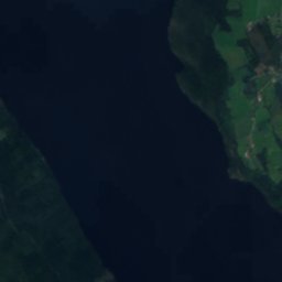
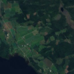
Satellite: Sentinel-2 cloudless 2016 by EOX IT Services GmbH · CC BY 4.0 · Contains modified Copernicus Sentinel data 2016
Mellan-Fryken
Lake · 62 m
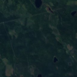
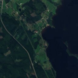
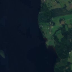
Satellite: Sentinel-2 cloudless 2016 by EOX IT Services GmbH · CC BY 4.0 · Contains modified Copernicus Sentinel data 2016
Aplungen, Västra Ämtervik
Lake · 103 m
Heritage





Satellite: Sentinel-2 cloudless 2016 by EOX IT Services GmbH · CC BY 4.0 · Contains modified Copernicus Sentinel data 2016
Västra Ämtervik Church
ecclesiastical listed building complex · 1821
Museums

Photo: Boberger. Photo: Bengt Oberger · CC BY 3.0 · Wikimedia CommonsReport this photo · linked, not stored
Rottneros Park
Sculpture garden




Satellite: Sentinel-2 cloudless 2016 by EOX IT Services GmbH · CC BY 4.0 · Contains modified Copernicus Sentinel data 2016
Malvikens tegelbruksmuseum





Satellite: Sentinel-2 cloudless 2016 by EOX IT Services GmbH · CC BY 4.0 · Contains modified Copernicus Sentinel data 2016