
archaeological siteMerowe, Northern State
Sanam
part of UNESCO World Heritage Site
Typearchaeological site
Built–
Best monthsJan–Feb · Decweather in Merowe
18.48° N, 31.82° EUTC+2 · Central Africa Time
When to goMerowe · weather score
Best timeJan–Feb · Dec
October: high / low38° / 24°
iAbout
Sanam in brief
Sanam is an archaeological site in Merowe, Northern State, Sudan.
It holds the designation part of UNESCO World Heritage Site.
For a visit, the weather in Merowe is best in January, February and December; in October afternoons average 38°.
Facts
- Type
- archaeological site
- Designation
- part of UNESCO World Heritage Site
- Nearest town
- Merowe
- Region
- Northern State
- Coordinates
- 18.48344, 31.81914
iiLocation
Where to find it
iiiWhen to visit
Climate guideWeather in Merowe
Month score for sightseeing
Best Jan–Feb · Dec96
Jan
87
Feb
68
Mar
58
Apr
58
May
58
Jun
56
Jul
50
Aug
58
Sep
58
Oct
72
Nov
90
Dec
Around here
Merowe and around

Nature
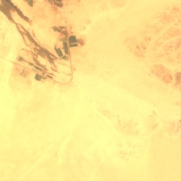


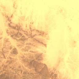
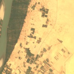
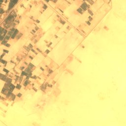
Satellite: Sentinel-2 cloudless 2016 by EOX IT Services GmbH · CC BY 4.0 · Contains modified Copernicus Sentinel data 2016
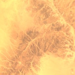
Wadi Abu Dom
River


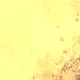
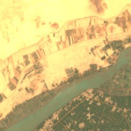
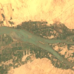


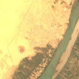
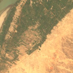

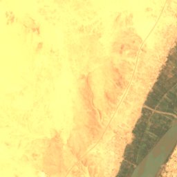
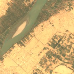
Satellite: Sentinel-2 cloudless 2016 by EOX IT Services GmbH · CC BY 4.0 · Contains modified Copernicus Sentinel data 2016
Aulad Amer Island
Island · 252 m


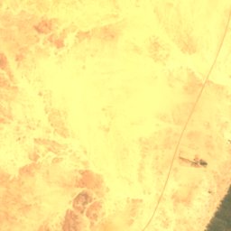
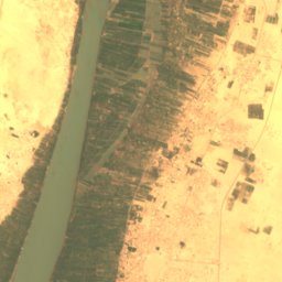

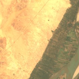

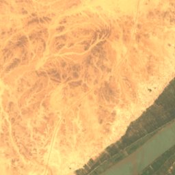
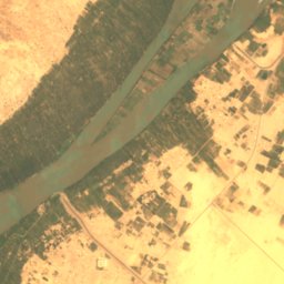
Satellite: Sentinel-2 cloudless 2016 by EOX IT Services GmbH · CC BY 4.0 · Contains modified Copernicus Sentinel data 2016
Abu Rannat Island
Island · 251 m
Mountains

Heritage








Satellite: Sentinel-2 cloudless 2016 by EOX IT Services GmbH · CC BY 4.0 · Contains modified Copernicus Sentinel data 2016
Jebel Barkal
part of UNESCO World Heritage Site


Museums






Satellite: Sentinel-2 cloudless 2016 by EOX IT Services GmbH · CC BY 4.0 · Contains modified Copernicus Sentinel data 2016
Jebel Barkal Museum
Archaeological museum · 1979