

Photo: Mireia Rey · CC BY-SA 3.0 · Wikimedia Commons
Poblat de TorretrencadaReport this photo · linked, not stored
Poblat de TorretrencadaPoblat de TorretrencadaReport this photo · linked, not stored
talaiotic villageCiutadella, Balearic Islands
Torrellafuda
bien de interés cultural
Typetalaiotic village
Built–
Best monthsApr–Junweather in Ciutadella
40.00° N, 3.92° EUTC+2 · Central European Summer Time
When to goCiutadella · weather score
Best timeApr–Jun
October: high / low24° / 16°
iAbout
Torrellafuda in brief
Torrellafuda is a talaiotic village in Ciutadella, Balearic Islands, Spain.
It holds the designation bien de interés cultural.
For a visit, the weather in Ciutadella is best in April, May and June; in October afternoons average 24°.
Facts
- Type
- talaiotic village
- Designation
- bien de interés cultural
- Nearest town
- Ciutadella
- Region
- Balearic Islands
- Coordinates
- 39.99888, 3.92266
iiLocation
Where to find it
ivNearby
All monuments in SpainMore heritage close by
Satellite: Sentinel-2 cloudless 2016 by EOX IT Services GmbH · CC BY 4.0 · Contains modified Copernicus Sentinel data 2016
Naveta d'Es Tudons
2.7 km W
bien de interés cultural
Around here
Ciutadella and around

Nature
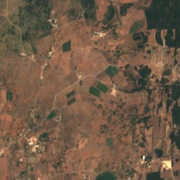
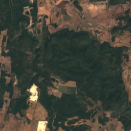
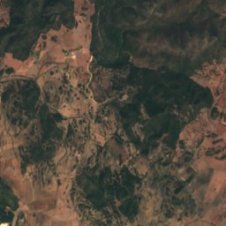
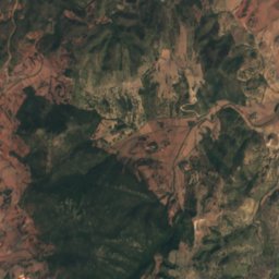
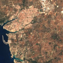
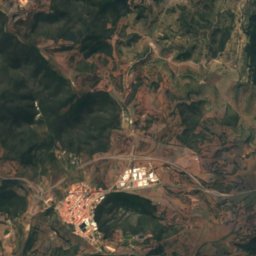
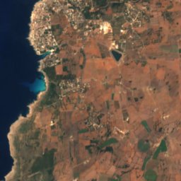
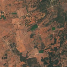
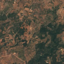
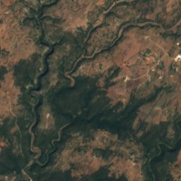
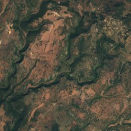
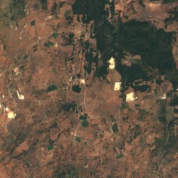
Satellite: Sentinel-2 cloudless 2016 by EOX IT Services GmbH · CC BY 4.0 · Contains modified Copernicus Sentinel data 2016
Cova des Càrritx
Cave



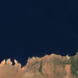
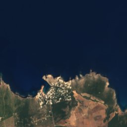


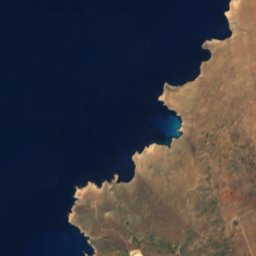


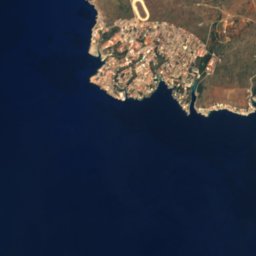
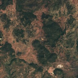
Satellite: Sentinel-2 cloudless 2016 by EOX IT Services GmbH · CC BY 4.0 · Contains modified Copernicus Sentinel data 2016
Cova de sa Boca des Port
Cave


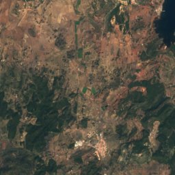
Satellite: Sentinel-2 cloudless 2016 by EOX IT Services GmbH · CC BY 4.0 · Contains modified Copernicus Sentinel data 2016
Cova de Rafal Vell
Cave
Mountains

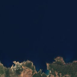
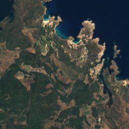
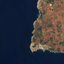
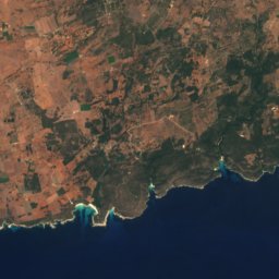
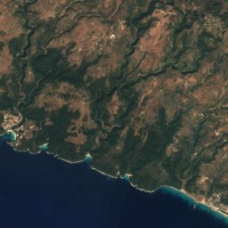
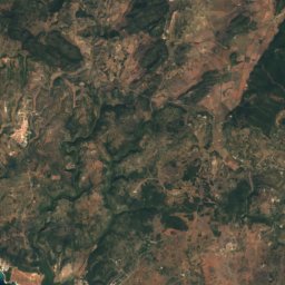
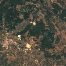
Satellite: Sentinel-2 cloudless 2016 by EOX IT Services GmbH · CC BY 4.0 · Contains modified Copernicus Sentinel data 2016
S'Enclusa
275 m

Heritage


Museums


Satellite: Sentinel-2 cloudless 2016 by EOX IT Services GmbH · CC BY 4.0 · Contains modified Copernicus Sentinel data 2016
Museu Diocesà de Menorca
Diocesan museum
Satellite: Sentinel-2 cloudless 2016 by EOX IT Services GmbH · CC BY 4.0 · Contains modified Copernicus Sentinel data 2016
Museu Municipal
1935