
Photo: Frabaquero · CC BY-SA 3.0 es · Wikimedia Commons
Torre LoperaReport this photo · linked, not stored
Torre LoperaReport this photo · linked, not stored
fortified towerMontellano, Andalusia
Torre Lopera
bien de interés culturalRed List of Endangered Heritage item
Typefortified tower
Built–
Best monthsApr–May · Octweather in Montellano
36.97° N, 5.63° WUTC+1 · Central European Standard Time
When to goMontellano · weather score
Best timeApr–May · Oct
October: high / low26° / 14°
iAbout
Torre Lopera in brief
Torre Lopera is a fortified tower in Montellano, Andalusia, Spain.
It holds the designations bien de interés cultural and Red List of Endangered Heritage item.
For a visit, the weather in Montellano is best in April, May and October; in October afternoons average 26°.
Facts
- Type
- fortified tower
- Designation
- bien de interés cultural
- Red List of Endangered Heritage item
- Nearest town
- Montellano
- Region
- Andalusia
- Coordinates
- 36.97455, -5.63383
iiLocation
Where to find it
iiiWhen to visit
Climate guideWeather in Montellano
Month score for sightseeing
Best Apr–May · Oct67
Jan
75
Feb
79
Mar
82
Apr
83
May
74
Jun
59
Jul
57
Aug
68
Sep
80
Oct
80
Nov
72
Dec
Around here
Montellano and around

Nature


Mountains

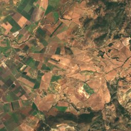
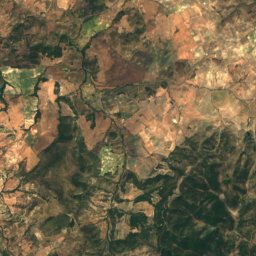
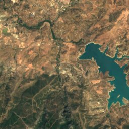
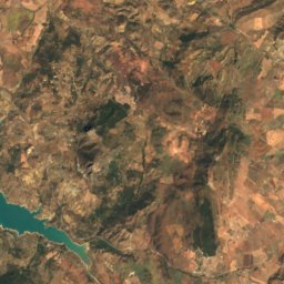
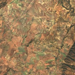
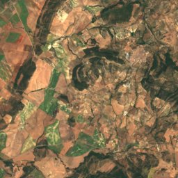
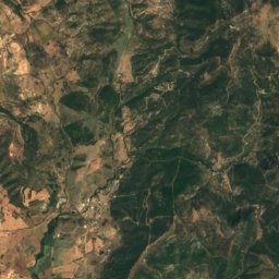
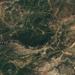
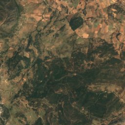
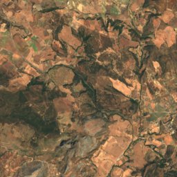
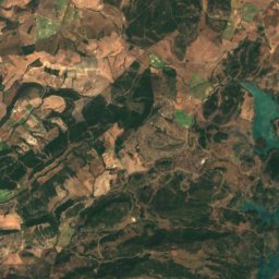
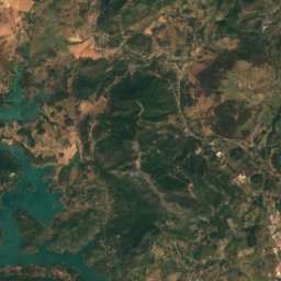
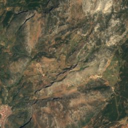
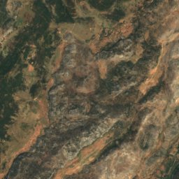
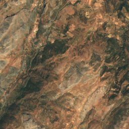
Satellite: Sentinel-2 cloudless 2016 by EOX IT Services GmbH · CC BY 4.0 · Contains modified Copernicus Sentinel data 2016
Reloj Peak
1,539 m · Cordillera Subbética


