Skip to content
Destinations
Weather & climate
Nature
Outdoors
Culture
Events
Sky & live
Torre Ferraz
Photo: Yajoman · CC BY-SA 4.0 · Wikimedia Commons
Torre FerrazReport this photo · linked, not stored
church of the Saviour, Mutxamel
Photo: Rodriguillo · Public domain · Wikimedia Commons
church of the Saviour, MutxamelReport this photo · linked, not stored
church of the Saviour, Mutxamel
Ansaldo Tower
Photo: B25es · CC BY-SA 3.0 · Wikimedia Commons
Ansaldo TowerReport this photo · linked, not stored
Ansaldo Tower
Chapel of Saint Anne, Sant Joan d'Alacant
Photo: Carlos Ladron de Guevara · CC BY-SA 3.0 es · Wikimedia Commons
Chapel of Saint Anne, Sant Joan d'AlacantReport this photo · linked, not stored
Chapel of Saint Anne, Sant Joan d'Alacant
Núcleo Histórico Tradicional de Benimagrell
Photo: B25es · CC BY-SA 3.0 · Wikimedia Commons
Núcleo Histórico Tradicional de BenimagrellReport this photo · linked, not stored
Núcleo Histórico Tradicional de Benimagrell
defensive towerMutxamel, Valencia

Torre Ferraz

bien de interés culturalBuilt 1600
Typedefensive tower
Built1600
Best monthsFeb · Apr–Mayweather in Mutxamel
38.42° N, 0.45° WUTC+1 · Central European Standard Time
Standing for426 years
built 1600today 2026
When to goMutxamel · weather score
JanFebMarAprMayJunJulAugSepOctNovDec79October
Best timeFeb · Apr–May
October: high / low25° / 15°
iAbout

Torre Ferraz in brief

Torre Ferraz is a defensive tower in Mutxamel, Valencia, Spain.

It holds the designation bien de interés cultural.

The defensive tower dates from 1600.

For a visit, the weather in Mutxamel is best in February, April and May; in October afternoons average 25°.

Mutxamel: weather and travel guide

Facts

Type
defensive tower
Designation
bien de interés cultural
Built
1600
Nearest town
Mutxamel
Region
Valencia
Coordinates
38.41626, -0.44626
iiLocation

Where to find it

iiiWhen to visit

Weather in Mutxamel

Climate guide

Month score for sightseeing

Best Feb · Apr–May
ivNearby

More heritage close by

All monuments in Spain
church of the Saviour, Mutxamel
Photo: Rodriguillo · Public domain · Wikimedia CommonsReport this photo · linked, not stored

church of the Saviour, Mutxamel

0.3 km SE
bien de interés cultural
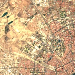
church of the Saviour, Mutxamel
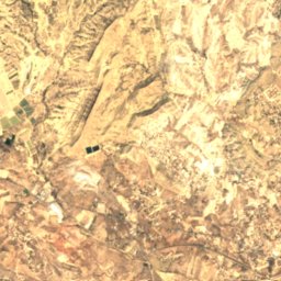
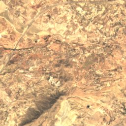
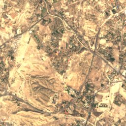
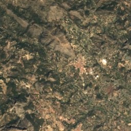
Satellite: Sentinel-2 cloudless 2016 by EOX IT Services GmbH · CC BY 4.0 · Contains modified Copernicus Sentinel data 2016

Palau de Penya-serrada

0.6 km NW
bien de interés cultural
Palau de Penya-serrada
Ansaldo Tower
Photo: B25es · CC BY-SA 3.0 · Wikimedia CommonsReport this photo · linked, not stored

Ansaldo Tower

1.2 km SE
bien de interés cultural
Ansaldo Tower
Chapel of Saint Anne, Sant Joan d'Alacant
Photo: Carlos Ladron de Guevara · CC BY-SA 3.0 es · Wikimedia CommonsReport this photo · linked, not stored

Chapel of Saint Anne, Sant Joan d'Alacant

1.5 km S
Property of Local Relevance
Chapel of Saint Anne, Sant Joan d'Alacant
Núcleo Histórico Tradicional de Benimagrell
Photo: B25es · CC BY-SA 3.0 · Wikimedia CommonsReport this photo · linked, not stored

Núcleo Histórico Tradicional de Benimagrell

2.9 km SE
Property of Local Relevance
Núcleo Histórico Tradicional de Benimagrell
Santa Faz Monastery
Photo: Joanbanjo · CC BY-SA 3.0 · Wikimedia CommonsReport this photo · linked, not stored

Santa Faz Monastery

3.0 km S
Property of Local Relevance
Santa Faz Monastery
Around here

Mutxamel and around

Mutxamel
Photo: 19Tarrestnom65 · CC BY-SA 4.0 · Wikimedia CommonsReport this photo · linked, not stored

Mutxamel

Valencia · Spain
Feb · Apr–Maybest months
31°July high
70 maltitude
Mutxamel

Nature

Canelobre Caves
Photo: chisloup · CC BY 3.0 · Wikimedia CommonsReport this photo · linked, not stored
11 km N

Canelobre Caves

Cave
Canelobre Caves
Montnegre River
Photo: Rodriguillo · Public domain · Wikimedia CommonsReport this photo · linked, not stored
3.0 km NW

Montnegre River

River
Montnegre River
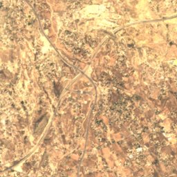
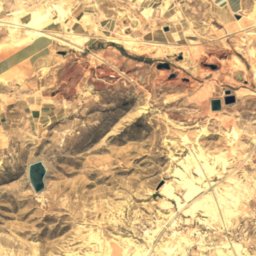
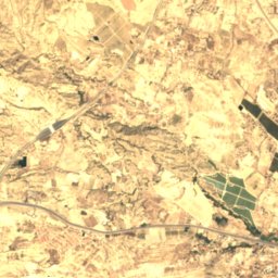
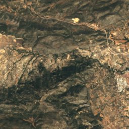
Satellite: Sentinel-2 cloudless 2016 by EOX IT Services GmbH · CC BY 4.0 · Contains modified Copernicus Sentinel data 2016
8.6 km SW

Lagunas de Rabasa

Lake
Lagunas de Rabasa

Mountains

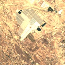
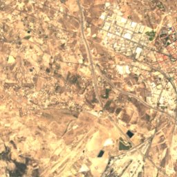
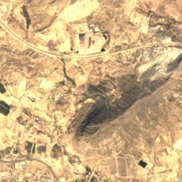
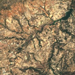
Satellite: Sentinel-2 cloudless 2016 by EOX IT Services GmbH · CC BY 4.0 · Contains modified Copernicus Sentinel data 2016
31 km NE

Serra d'Aitana

1,558 m · Baetic System
Serra d'Aitana
Puig Campana
Photo: Rodelar · CC BY-SA 3.0 · Wikimedia CommonsReport this photo · linked, not stored
30 km NE

Puig Campana

1,406 m · Prebaetic System
Puig Campana
Montcabrer
Photo: bladimiro · CC BY-SA 3.0 · Wikimedia CommonsReport this photo · linked, not stored
38 km N

Montcabrer

1,390 m · Baetic System
Montcabrer

Heritage

Santa Faz Monastery
Photo: Joanbanjo · CC BY-SA 3.0 · Wikimedia CommonsReport this photo · linked, not stored
2.9 km S

Santa Faz Monastery

Property of Local Relevance · 1756
Santa Faz Monastery
church of the Saviour, Mutxamel
Photo: Rodriguillo · Public domain · Wikimedia CommonsReport this photo · linked, not stored
0.2 km S

church of the Saviour, Mutxamel

bien de interés cultural · 1800
church of the Saviour, Mutxamel
Torre de Santa Faz
Photo: Beatriz Sirvent from Gandia, España · CC BY-SA 2.0 · Wikimedia CommonsReport this photo · linked, not stored
3.0 km S

Torre de Santa Faz

bien de interés cultural · 1600
Torre de Santa Faz

Museums

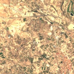
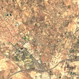
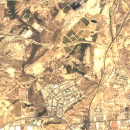
Satellite: Sentinel-2 cloudless 2016 by EOX IT Services GmbH · CC BY 4.0 · Contains modified Copernicus Sentinel data 2016
2.0 km SW

Museo de arte bizantino del monasterio de la Trinidad

Art museum
Museo de arte bizantino del monasterio de la Trinidad
Gravina Museum of Fine Arts
Photo: Joanbanjo · CC BY-SA 3.0 · Wikimedia CommonsReport this photo · linked, not stored
8.4 km S

Gravina Museum of Fine Arts

Art museum · 2001
Gravina Museum of Fine Arts
Museo de Aguas de Alicante
Photo: Varondán · CC BY-SA 4.0 · Wikimedia CommonsReport this photo · linked, not stored
8.3 km S

Museo de Aguas de Alicante

2009
Museo de Aguas de Alicante