
Photo: Jojumarva · CC BY-SA 3.0 es · Wikimedia Commons
Torre de FerrerReport this photo · linked, not stored
Torre de FerrerReport this photo · linked, not stored
watchtowerCastilléjar, Andalusia
Torre de Ferrer
bien de interés cultural
Typewatchtower
Built–
Best monthsApr–May · Octweather in Castilléjar
37.80° N, 2.65° WUTC+1 · Central European Standard Time
When to goCastilléjar · weather score
Best timeApr–May · Oct
October: high / low24° / 10°
iAbout
Torre de Ferrer in brief
Torre de Ferrer is a watchtower in Castilléjar, Andalusia, Spain.
It holds the designation bien de interés cultural.
For a visit, the weather in Castilléjar is best in April, May and October; in October afternoons average 24°.
Facts
- Type
- watchtower
- Designation
- bien de interés cultural
- Nearest town
- Castilléjar
- Region
- Andalusia
- Coordinates
- 37.79753, -2.64638
iiLocation
Where to find it
iiiWhen to visit
Climate guideWeather in Castilléjar
Month score for sightseeing
Best Apr–May · Oct55
Jan
61
Feb
75
Mar
81
Apr
85
May
68
Jun
56
Jul
57
Aug
73
Sep
83
Oct
69
Nov
60
Dec
Around here
Castilléjar and around
Nature

Photo: Veinticuatro de Jahén · CC BY-SA 4.0 · Wikimedia CommonsReport this photo · linked, not stored
El Portillo Reservoir
Lake · 931 m

Photo: Veinticuatro de Jahén · CC BY-SA 4.0 · Wikimedia CommonsReport this photo · linked, not stored
San Clemente Reservoir
Lake · 1,025 m

Mountains
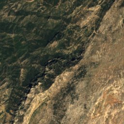
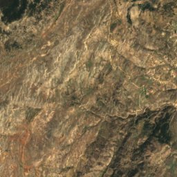
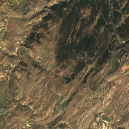
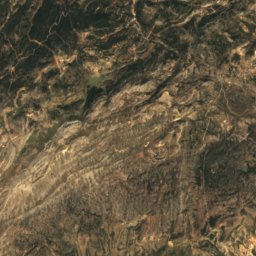
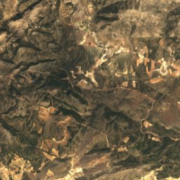
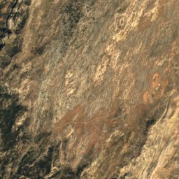
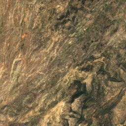
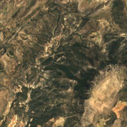
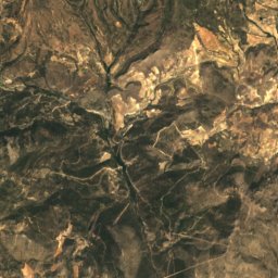
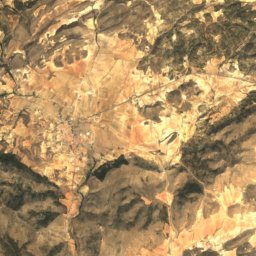
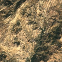
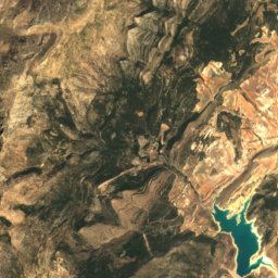
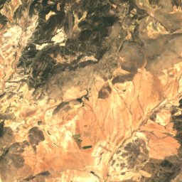
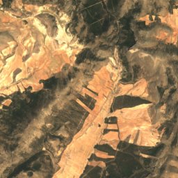
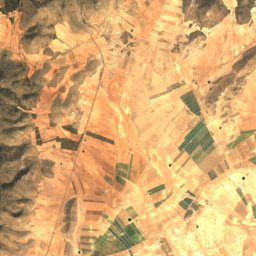
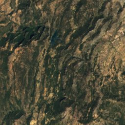
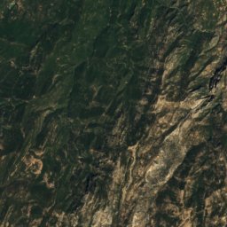
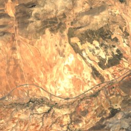
Satellite: Sentinel-2 cloudless 2016 by EOX IT Services GmbH · CC BY 4.0 · Contains modified Copernicus Sentinel data 2016
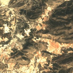
Sierra de La Sagra
2,383 m
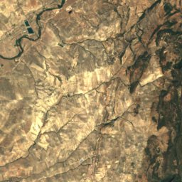
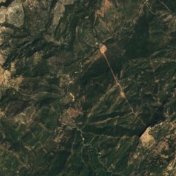
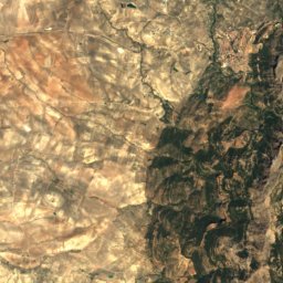
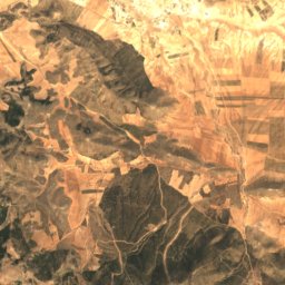
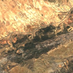
Satellite: Sentinel-2 cloudless 2016 by EOX IT Services GmbH · CC BY 4.0 · Contains modified Copernicus Sentinel data 2016
Las Empanadas
2,106 m · Prebaetic System
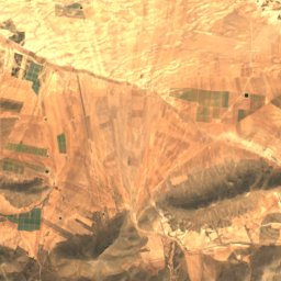
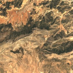
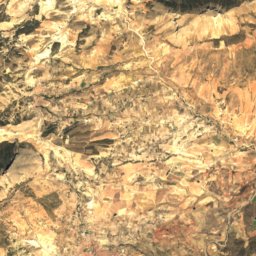
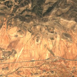
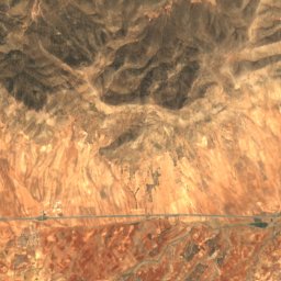
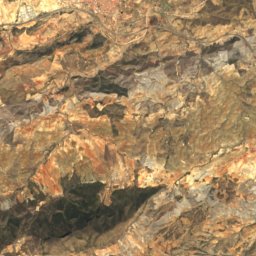
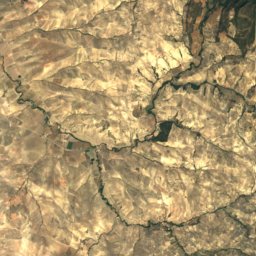
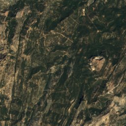
Satellite: Sentinel-2 cloudless 2016 by EOX IT Services GmbH · CC BY 4.0 · Contains modified Copernicus Sentinel data 2016
Cerro Pollo
2,045 m · Cordillera Penibética
Heritage

Photo: Rafael Jiménez from Córdoba, España · CC BY-SA 2.0 · Wikimedia CommonsReport this photo · linked, not stored
Castellón Alto
bien de interés cultural


Antigua Colegiata de la Encarnación
bien de interés cultural
Museums



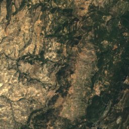
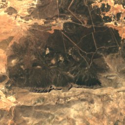
Satellite: Sentinel-2 cloudless 2016 by EOX IT Services GmbH · CC BY 4.0 · Contains modified Copernicus Sentinel data 2016