
Photo: Reinhardhauke · CC BY-SA 3.0 · Wikimedia Commons
Santa EulaliaReport this photo · linked, not stored
Santa EulaliaReport this photo · linked, not stored

Photo: Reinhardhauke · CC BY-SA 3.0 · Wikimedia Commons
San Martín, OlivánReport this photo · linked, not stored
San Martín, OlivánSan Martín, OlivánReport this photo · linked, not stored

Photo: Willtron · CC BY-SA 3.0 · Wikimedia Commons
Monasterio de San Pelay (Gavín)Report this photo · linked, not stored
Monasterio de San Pelay (Gavín)Monasterio de San Pelay (Gavín)Report this photo · linked, not stored

Photo: Diego Delso · CC BY-SA 4.0 · Wikimedia Commons
Ilesia de San Chuan de BusaReport this photo · linked, not stored
Ilesia de San Chuan de BusaIlesia de San Chuan de BusaReport this photo · linked, not stored

Photo: Willtron · CC BY-SA 3.0 · Wikimedia Commons
Torraza de LárredeReport this photo · linked, not stored
Torraza de LárredeTorraza de LárredeReport this photo · linked, not stored
churchOrós Alto, Aragon
Santa Eulalia
bien de interés cultural
TypechurchRomanesque
Built–
Best monthsJun · Sep–Octweather in Orós Alto
42.59° N, 0.31° WUTC+1 · Central European Standard Time
When to goOrós Alto · weather score
Best timeJun · Sep–Oct
October: high / low19° / 7°
iAbout
Santa Eulalia in brief
Santa Eulalia is a church in Orós Alto, Aragon, Spain.
It holds the designation bien de interés cultural.
The church is built in the Romanesque style.
For a visit, the weather in Orós Alto is best in June, September and October; in October afternoons average 19°.
iiLocation
Where to find it
iiiWhen to visit
Climate guideWeather in Orós Alto
Month score for sightseeing
Best Jun · Sep–Oct23
Jan
31
Feb
44
Mar
52
Apr
65
May
74
Jun
64
Jul
63
Aug
77
Sep
72
Oct
36
Nov
28
Dec
ivNearby
All monuments in SpainMore heritage close by
Satellite: Sentinel-2 cloudless 2016 by EOX IT Services GmbH · CC BY 4.0 · Contains modified Copernicus Sentinel data 2016
Category:Iglesia de Santa Eulalia (Susín)
3.1 km SE
bien de interés cultural

Around here
Orós Alto and around

Nature

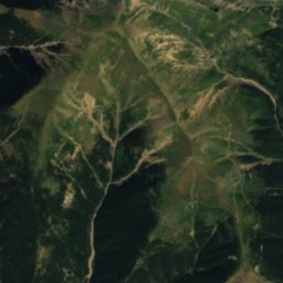
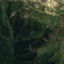
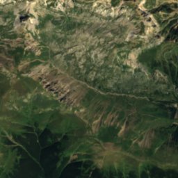
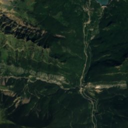
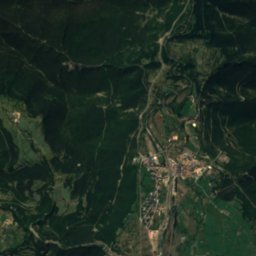
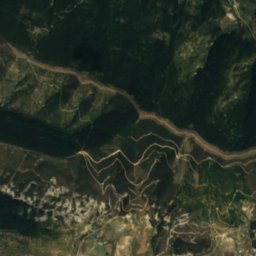
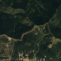
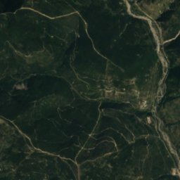
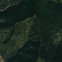
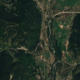
Satellite: Sentinel-2 cloudless 2016 by EOX IT Services GmbH · CC BY 4.0 · Contains modified Copernicus Sentinel data 2016
Río Aurín
River · 772 m

Photo: Daniel Garcia-Castellanos · CC BY-SA 2.0 · Wikimedia CommonsReport this photo · linked, not stored
Grotto of Casteret
Cave
Mountains

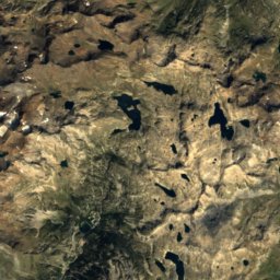
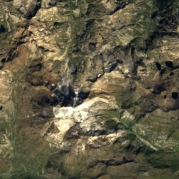
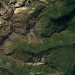
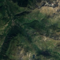
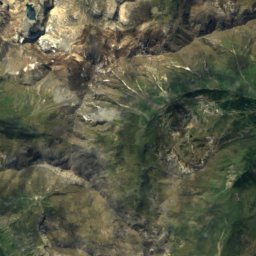
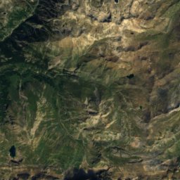
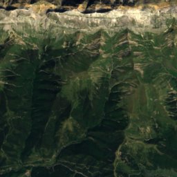
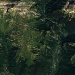
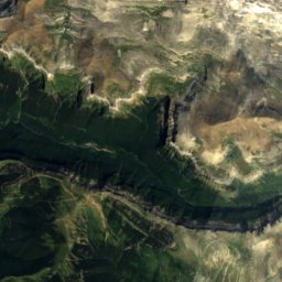
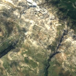
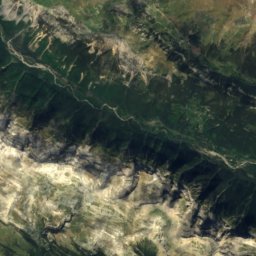
Satellite: Sentinel-2 cloudless 2016 by EOX IT Services GmbH · CC BY 4.0 · Contains modified Copernicus Sentinel data 2016
Cilindro de Marboré
3,328 m · Pyrenees

Photo: User Sea-empress on de.wikipedia · CC BY-SA 3.0 · Wikimedia CommonsReport this photo · linked, not stored
Vignemale
3,299 m · Massif de Vignemale
Heritage

Ermita de Santa María de Iguacel
bien de interés cultural · 1040

Photo: Turol Jones, un artista de cojones from Villanueva del Cascajal, República Indep · CC BY 2.0 · Wikimedia CommonsReport this photo · linked, not stored
Ermita de Santa Elena, Hoz de Jaca
Bien Inventariado del Patrimonio Cultural Aragonés · 1300
Museums
Satellite: Sentinel-2 cloudless 2016 by EOX IT Services GmbH · CC BY 4.0 · Contains modified Copernicus Sentinel data 2016
Museo Ángel Orensanz y Artes del Serrablo
Art museum · 1978


Satellite: Sentinel-2 cloudless 2016 by EOX IT Services GmbH · CC BY 4.0 · Contains modified Copernicus Sentinel data 2016