

Photo: Alberto-g-rovi · CC BY-SA 4.0 · Wikimedia Commons
L'Estrada (Sant Joan les Fonts)Report this photo · linked, not stored
L'Estrada (Sant Joan les Fonts)L'Estrada (Sant Joan les Fonts)Report this photo · linked, not stored

Photo: Alberto-g-rovi · CC BY-SA 4.0 · Wikimedia Commons
Can Jep, La CanyaReport this photo · linked, not stored
Can Jep, La CanyaCan Jep, La CanyaReport this photo · linked, not stored

Photo: Miquel Solé · CC BY-SA 3.0 · Wikimedia Commons
Mas PererReport this photo · linked, not stored
Mas PererMas PererReport this photo · linked, not stored

Photo: Amador Alvarez · CC BY-SA 3.0 · Wikimedia Commons
Església de Sant Andreu de SocarratsReport this photo · linked, not stored
Església de Sant Andreu de SocarratsEsglésia de Sant Andreu de SocarratsReport this photo · linked, not stored
masiaLa Canya, Catalonia
Roquer
Cultural Asset part of the cultural heritage of Catalonia
Typemasiavernacular
Built–
Best monthsApr · Sep–Octweather in La Canya
42.21° N, 2.48° EUTC+2 · Central European Summer Time
When to goLa Canya · weather score
Best timeApr · Sep–Oct
October: high / low21° / 10°
iAbout
Roquer in brief
Roquer is a masia in La Canya, Catalonia, Spain.
It holds the designation Cultural Asset part of the cultural heritage of Catalonia.
The masia is built in the vernacular style.
For a visit, the weather in La Canya is best in April, September and October; in October afternoons average 21°.
iiLocation
Where to find it
iiiWhen to visit
Climate guideWeather in La Canya
Month score for sightseeing
Best Apr · Sep–Oct50
Jan
59
Feb
71
Mar
74
Apr
73
May
73
Jun
65
Jul
62
Aug
80
Sep
77
Oct
64
Nov
54
Dec
ivNearby
All monuments in SpainMore heritage close by
L'Estrada (Sant Joan les Fonts)
0.4 km E
Cultural Asset part of the cultural heritage of Catalonia
Església de Sant Andreu de Socarrats
0.8 km SW
Cultural Asset part of the cultural heritage of Catalonia

Casal de Socarrats
0.9 km SW
Cultural Asset part of the cultural heritage of Catalonia

Photo: Josep Maria Viñolas Esteva · CC BY-SA 4.0 · Wikimedia CommonsReport this photo · linked, not stored
Mas Cabrafiga
1.0 km SE
Cultural Asset part of the cultural heritage of Catalonia
Around here
La Canya and around

Nature


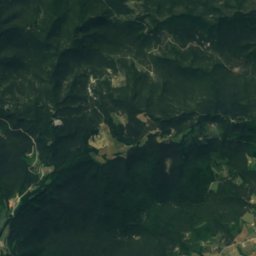
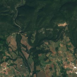
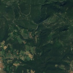
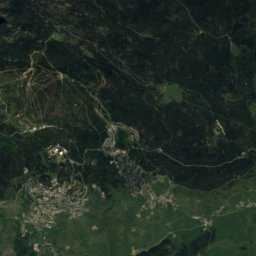
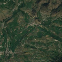
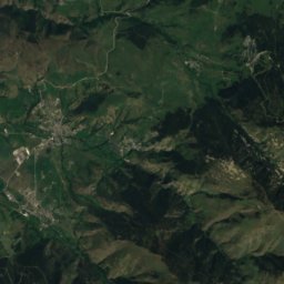
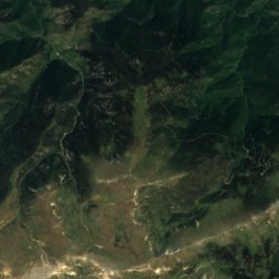
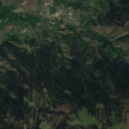
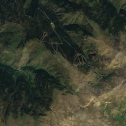
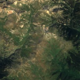
Satellite: Sentinel-2 cloudless 2016 by EOX IT Services GmbH · CC BY 4.0 · Contains modified Copernicus Sentinel data 2016
Bauma del Serrat del Pont
Cave
Mountains

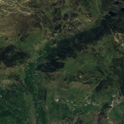
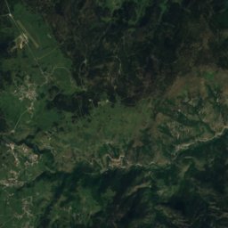
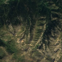
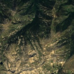
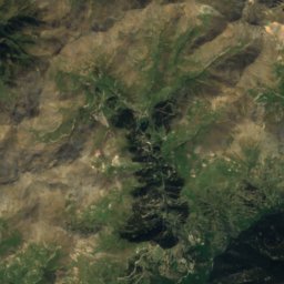
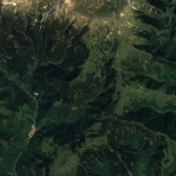
Satellite: Sentinel-2 cloudless 2016 by EOX IT Services GmbH · CC BY 4.0 · Contains modified Copernicus Sentinel data 2016
Bastiments
2,881 m · Pyrenees

Heritage

Photo: Josep Maria Viñolas Esteva · CC BY-SA 4.0 · Wikimedia CommonsReport this photo · linked, not stored
Central Elèctrica Bassols
Cultural Asset of Local Interest · 1917


Photo: JOAQUIM CANALS i BAYÉ · CC BY-SA 4.0 · Wikimedia CommonsReport this photo · linked, not stored
Casa Serra, Olot
Cultural Asset of Local Interest · 2000
Museums

Satellite: Sentinel-2 cloudless 2016 by EOX IT Services GmbH · CC BY 4.0 · Contains modified Copernicus Sentinel data 2016
Olot Saints Museum
2007


Satellite: Sentinel-2 cloudless 2016 by EOX IT Services GmbH · CC BY 4.0 · Contains modified Copernicus Sentinel data 2016
Museu Alzamora Group
2011