
Photo: JMorillasR · CC BY-SA 4.0 · Wikimedia Commons
Pulpí GeodeReport this photo · linked, not stored
Pulpí GeodeReport this photo · linked, not stored
geodeSan Juan de los Terreros, Andalusia
Pulpí Geode
Tentative World Heritage Site
Typegeode
Built–
Best monthsFeb · May · Decweather in San Juan de los Terreros
37.38° N, 1.70° WUTC+1 · Central European Standard Time
When to goSan Juan de los Terreros · weather score
Best timeFeb · May · Dec
October: high / low25° / 17°
iAbout
Pulpí Geode in brief
Pulpí Geode is a geode in San Juan de los Terreros, Andalusia, Spain.
It holds the designation Tentative World Heritage Site.
For a visit, the weather in San Juan de los Terreros is best in February, May and December; in October afternoons average 25°.
Facts
- Type
- geode
- Designation
- Tentative World Heritage Site
- Nearest town
- San Juan de los Terreros
- Region
- Andalusia
- Coordinates
- 37.38174, -1.70197
iiLocation
Where to find it
iiiWhen to visit
Climate guideWeather in San Juan de los Terreros
Month score for sightseeing
Best Feb · May · Dec86
Jan
89
Feb
88
Mar
88
Apr
92
May
87
Jun
78
Jul
72
Aug
76
Sep
87
Oct
84
Nov
89
Dec
Around here
San Juan de los Terreros and around

San Juan de los Terreros
Andalusia · Spain
Feb · May · Decbest months
30°July high
12 maltitude
Nature
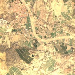
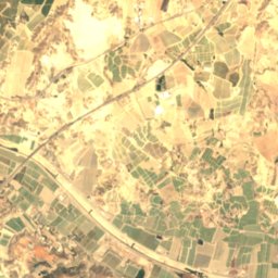
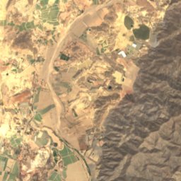
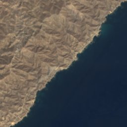

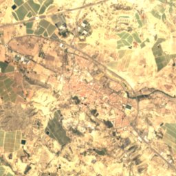
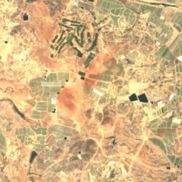
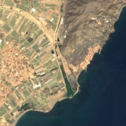


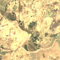
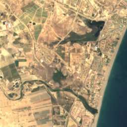



Satellite: Sentinel-2 cloudless 2016 by EOX IT Services GmbH · CC BY 4.0 · Contains modified Copernicus Sentinel data 2016
Almanzora
River
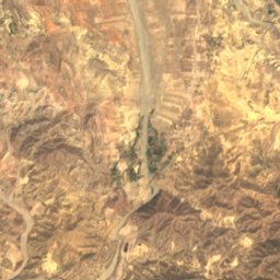
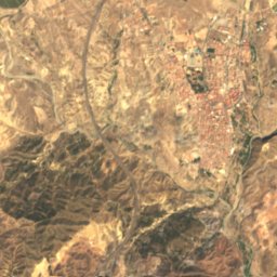
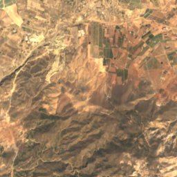
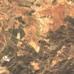
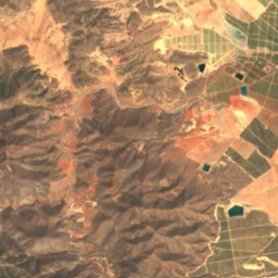
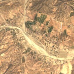
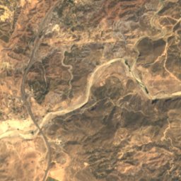
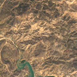
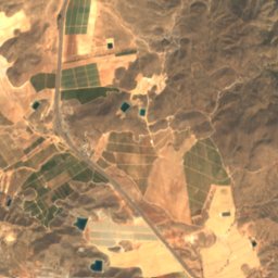
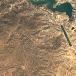
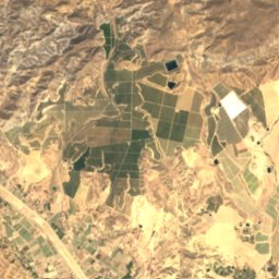
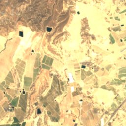
Satellite: Sentinel-2 cloudless 2016 by EOX IT Services GmbH · CC BY 4.0 · Contains modified Copernicus Sentinel data 2016
Cuevas del Almanzora Reservoir
Lake · 123 m

Mountains

Heritage

Castillo de San Juan de los Terreros
bien de interés cultural

San Juan de las Águilas Castle
bien de interés cultural · 1759

Museums

Centro de interpretación de la geoda de Pulpí
Interpretation centre · 2019






Satellite: Sentinel-2 cloudless 2016 by EOX IT Services GmbH · CC BY 4.0 · Contains modified Copernicus Sentinel data 2016
Museo del Fútbol Aguileño
Satellite: Sentinel-2 cloudless 2016 by EOX IT Services GmbH · CC BY 4.0 · Contains modified Copernicus Sentinel data 2016
Termas Romanas de Águilas
Visitor center