
Photo: De Petrer al Exilio · CC BY-SA 4.0 · Wikimedia Commons
Posición YusteReport this photo · linked, not stored
Posición YusteReport this photo · linked, not stored
 Torreta de Elda

Photo: FoxR · CC BY-SA 4.0 · Wikimedia Commons
Elda-Petrer train stationReport this photo · linked, not stored
Elda-Petrer train stationElda-Petrer train stationReport this photo · linked, not stored

Photo: José Manuel Pérez · Public domain · Wikimedia Commons
Church of Saint Anne, EldaReport this photo · linked, not stored
Church of Saint Anne, EldaChurch of Saint Anne, EldaReport this photo · linked, not stored
fincaElda, Valencia
Posición Yuste
Property of Local Relevance
Typefinca
Built–
Best monthsMar–Mayweather in Elda
38.50° N, 0.80° WUTC+1 · Central European Standard Time
When to goElda · weather score
Best timeMar–May
October: high / low25° / 12°
iAbout
Posición Yuste in brief
Posición Yuste is a finca in Elda, Valencia, Spain. Codename for a location of the Spanish Republican Government.
It holds the designation Property of Local Relevance.
For a visit, the weather in Elda is best in March, April and May; in October afternoons average 25°.
iiLocation
Where to find it
ivNearby
All monuments in SpainMore heritage close by

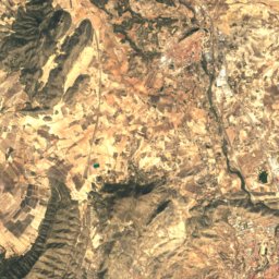
Satellite: Sentinel-2 cloudless 2016 by EOX IT Services GmbH · CC BY 4.0 · Contains modified Copernicus Sentinel data 2016
Aqueduct of Sant Rafael
1.9 km SE
bien de interés cultural
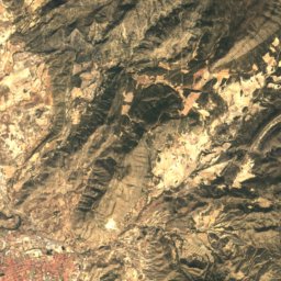
Satellite: Sentinel-2 cloudless 2016 by EOX IT Services GmbH · CC BY 4.0 · Contains modified Copernicus Sentinel data 2016
Castillo de Elda
2.5 km S
bien de interés cultural
Around here
Elda and around

Nature
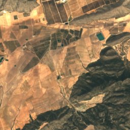
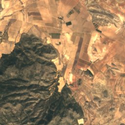
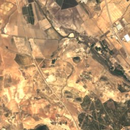
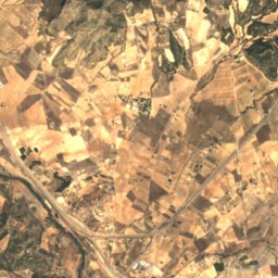
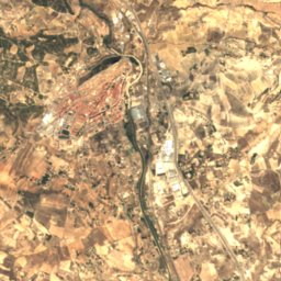
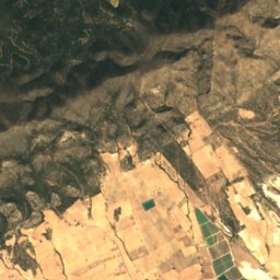
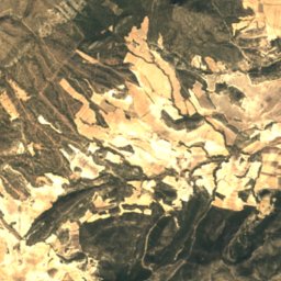
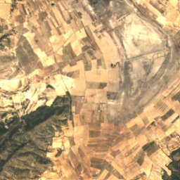
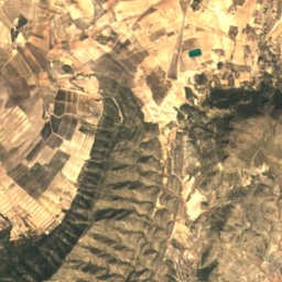
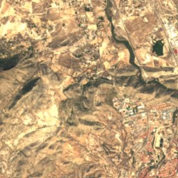
Satellite: Sentinel-2 cloudless 2016 by EOX IT Services GmbH · CC BY 4.0 · Contains modified Copernicus Sentinel data 2016
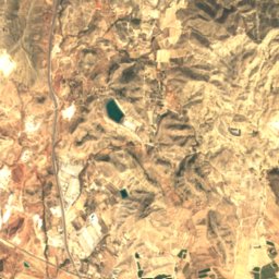
Laguna de Salinas
Lake · 470 m
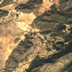
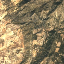
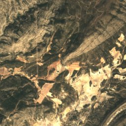
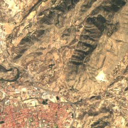
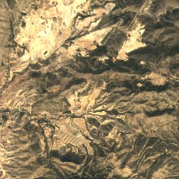
Satellite: Sentinel-2 cloudless 2016 by EOX IT Services GmbH · CC BY 4.0 · Contains modified Copernicus Sentinel data 2016
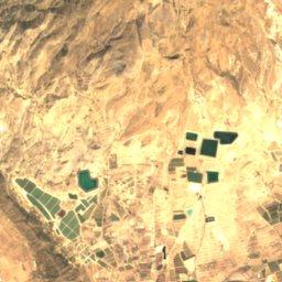
Elda Dam
Lake
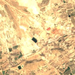
Satellite: Sentinel-2 cloudless 2016 by EOX IT Services GmbH · CC BY 4.0 · Contains modified Copernicus Sentinel data 2016
Pantanet de la República
Lake
Mountains
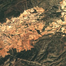
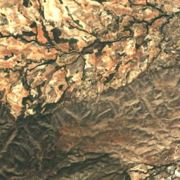
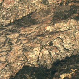
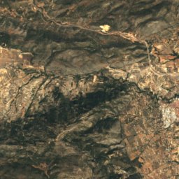
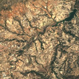
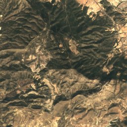
Satellite: Sentinel-2 cloudless 2016 by EOX IT Services GmbH · CC BY 4.0 · Contains modified Copernicus Sentinel data 2016
Teixereta
1,345 m · Serra del Menejador
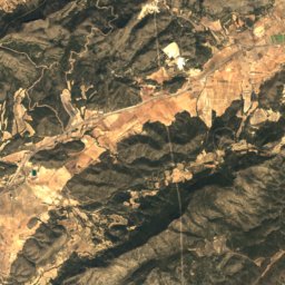
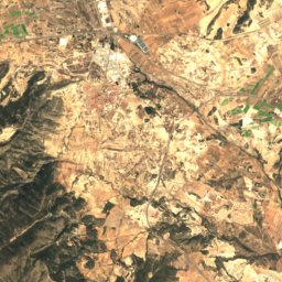
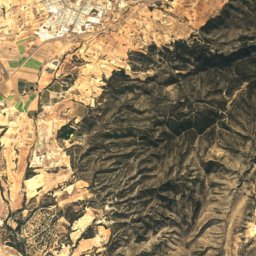
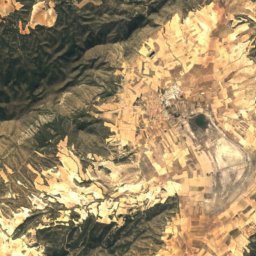
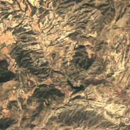
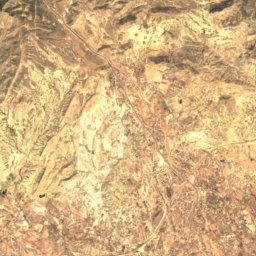
Satellite: Sentinel-2 cloudless 2016 by EOX IT Services GmbH · CC BY 4.0 · Contains modified Copernicus Sentinel data 2016
Maigmó
1,296 m
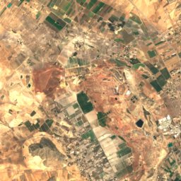
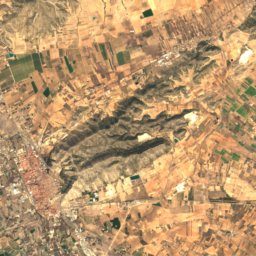
Satellite: Sentinel-2 cloudless 2016 by EOX IT Services GmbH · CC BY 4.0 · Contains modified Copernicus Sentinel data 2016
Despenyador
1,261 m
Heritage

Museums






Satellite: Sentinel-2 cloudless 2016 by EOX IT Services GmbH · CC BY 4.0 · Contains modified Copernicus Sentinel data 2016
Museu Dámaso Navarro
Ethnographic museum · 1999