
Photo: Majemico · CC BY-SA 3.0 es · Wikimedia Commons
PetavoniumReport this photo · linked, not stored
PetavoniumReport this photo · linked, not stored
ancient Roman structureSantibáñez de Vidriales, Castille and León
Petavonium
bien de interés cultural
Typeancient Roman structure
Built–
Best monthsMay–Jun · Sepweather in Santibáñez de Vidriales
42.09° N, 6.00° WUTC+2 · Central European Summer Time
When to goSantibáñez de Vidriales · weather score
Best timeMay–Jun · Sep
October: high / low20° / 6°
iAbout
Petavonium in brief
Petavonium is an ancient roman structure in Santibáñez de Vidriales, Castille and León, Spain.
It holds the designation bien de interés cultural.
For a visit, the weather in Santibáñez de Vidriales is best in May, June and September; in October afternoons average 20°.
Facts
- Type
- ancient Roman structure
- Designation
- bien de interés cultural
- Nearest town
- Santibáñez de Vidriales
- Region
- Castille and León
- Coordinates
- 42.08894, -5.99797
iiLocation
Where to find it
iiiWhen to visit
Climate guideWeather in Santibáñez de Vidriales
Month score for sightseeing
Best May–Jun · Sep26
Jan
40
Feb
55
Mar
67
Apr
77
May
77
Jun
69
Jul
70
Aug
83
Sep
71
Oct
36
Nov
28
Dec
Around here
Santibáñez de Vidriales and around

Santibáñez de Vidriales
Castille and León · Spain
May–Jun · Sepbest months
30°July high
745 maltitude
Nature

Photo: Instituto Geográfico Nacional (archived version) · CC BY 4.0 · Wikimedia CommonsReport this photo · linked, not stored
Valparaíso Dam
Lake · 833 m

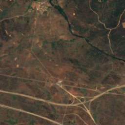
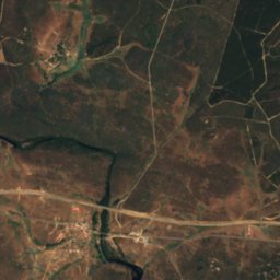
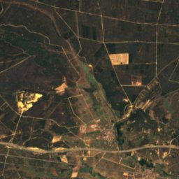
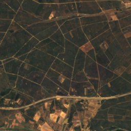
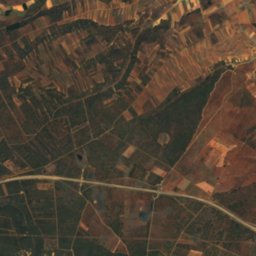
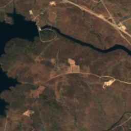
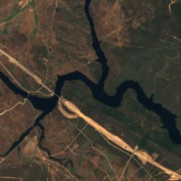
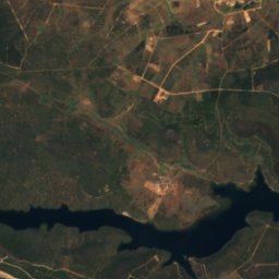
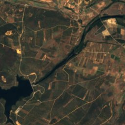
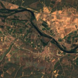
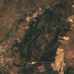
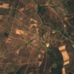
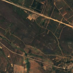
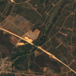
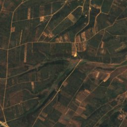
Satellite: Sentinel-2 cloudless 2016 by EOX IT Services GmbH · CC BY 4.0 · Contains modified Copernicus Sentinel data 2016
Nuestra Señora del Agavanzal Dam
Lake · 785 m
Heritage
Satellite: Sentinel-2 cloudless 2016 by EOX IT Services GmbH · CC BY 4.0 · Contains modified Copernicus Sentinel data 2016
Monastery of Santa María de Nogales
Red List of Endangered Heritage item · 1150

Photo: Xauxa Håkan Svensson · CC BY-SA 3.0 · Wikimedia CommonsReport this photo · linked, not stored
Church of Santa Marta de Tera
bien de interés cultural

Archaeological site of Las Labradas
bien de interés cultural
Museums


Satellite: Sentinel-2 cloudless 2016 by EOX IT Services GmbH · CC BY 4.0 · Contains modified Copernicus Sentinel data 2016
Colección Museográfica de los Campamentos romanos de Petavonium
Archaeological museum