

Photo: Igerrak · CC BY-SA 4.0 · Wikimedia Commons
Antigua Casa UrizarReport this photo · linked, not stored
Antigua Casa UrizarAntigua Casa UrizarReport this photo · linked, not stored
 Casa Izpegi

Photo: Igerrak · CC BY-SA 4.0 · Wikimedia Commons
Casa SenditzuegiReport this photo · linked, not stored
Casa SenditzuegiCasa SenditzuegiReport this photo · linked, not stored

Photo: Igerrak · CC BY-SA 4.0 · Wikimedia Commons
Palacio del Marqués de OlasoReport this photo · linked, not stored
Palacio del Marqués de OlasoPalacio del Marqués de OlasoReport this photo · linked, not stored
station located on surfaceGetxo, Basque Country
Neguri
Basque government heritage site
Typestation located on surface
Built–by Norman Foster
Best monthsJul–Sepweather in Getxo
43.34° N, 3.01° WUTC+2 · Central European Summer Time
When to goGetxo · weather score
Best timeJul–Sep
October: high / low20° / 13°
iAbout
Neguri in brief
Neguri is a station located on surface in Getxo, Basque Country, Spain.
It holds the designation Basque government heritage site.
The station located on surface was designed by Norman Foster.
For a visit, the weather in Getxo is best in July, August and September; in October afternoons average 20°.
Facts
- Type
- station located on surface
- Designation
- Basque government heritage site
- Architect
- Norman Foster
- Nearest town
- Getxo
- Region
- Basque Country
- Coordinates
- 43.34028, -3.00556
iiLocation
Where to find it
ivNearby
All monuments in SpainMore heritage close by

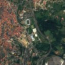
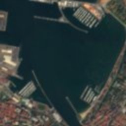
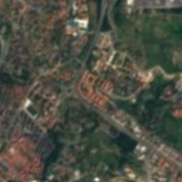
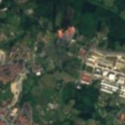
Satellite: Sentinel-2 cloudless 2016 by EOX IT Services GmbH · CC BY 4.0 · Contains modified Copernicus Sentinel data 2016
Palacio Lezama-Leguizamón
0.4 km SW
Basque government heritage site
Around here
Getxo and around

Photo: Eduardo Ferro Aldama Eferro · Public domain · Wikimedia CommonsReport this photo · linked, not stored
Getxo
Basque Country · Spain
Jul–Sepbest months
24°July high
43 maltitude
Nature

Photo: Javier Mediavilla Ezquibela Esta imagen tiene una licencia libre (que puedes ver · CC BY-SA 2.0 · Wikimedia CommonsReport this photo · linked, not stored
Nervión
River

Photo: Javier Mediavilla Ezquibela · CC BY 2.5 · Wikimedia CommonsReport this photo · linked, not stored
Gobela river
River

Photo: https://www.flickr.com/people/egizu/ · CC BY 2.0 · Wikimedia CommonsReport this photo · linked, not stored
Butroe
River
Mountains
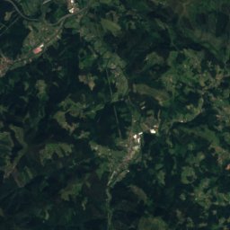
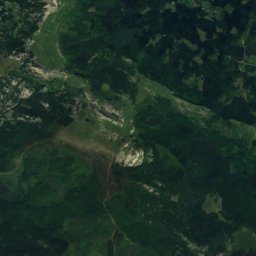
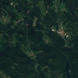
Satellite: Sentinel-2 cloudless 2016 by EOX IT Services GmbH · CC BY 4.0 · Contains modified Copernicus Sentinel data 2016
Usotegieta
1,188 m


Heritage


Museums


Photo: BradPitto (Tagzania user ID: 16944) · CC BY-SA 4.0 · Wikimedia CommonsReport this photo · linked, not stored
Centro de la Interpretación de la Pesca Agurtza


Satellite: Sentinel-2 cloudless 2016 by EOX IT Services GmbH · CC BY 4.0 · Contains modified Copernicus Sentinel data 2016