Skip to content
Destinations
Weather & climate
Nature
Outdoors
Culture
Events
Sky & live
Negorta Tower
Photo: Kandllh · CC BY-SA 3.0 es · Wikimedia Commons
Negorta TowerReport this photo · linked, not stored
Casa Cadahalso
Photo: Ebaki · CC BY-SA 4.0 · Wikimedia Commons
Casa CadahalsoReport this photo · linked, not stored
Casa Cadahalso
Urkijo jauregia
Photo: Ebaki · CC BY-SA 4.0 · Wikimedia Commons
Urkijo jauregiaReport this photo · linked, not stored
Urkijo jauregia
Arriba 52 baserria
Photo: Ebaki · CC BY-SA 4.0 · Wikimedia Commons
Arriba 52 baserriaReport this photo · linked, not stored
Arriba 52 baserria
Casa de la Americana
Photo: Florenciac · CC BY-SA 4.0 · Wikimedia Commons
Casa de la AmericanaReport this photo · linked, not stored
Casa de la Americana
monumentMenagarai, Basque Country

Negorta Tower

bien de interés culturalBasque government heritage site
TypemonumentRenaissance
Built–
Best monthsJun–Jul · Sepweather in Menagarai
43.12° N, 3.04° WUTC+1 · Central European Standard Time
When to goMenagarai · weather score
JanFebMarAprMayJunJulAugSepOctNovDec66October
Best timeJun–Jul · Sep
October: high / low20° / 9°
iAbout

Negorta Tower in brief

Negorta Tower is a monument in Menagarai, Basque Country, Spain.

It holds the designations bien de interés cultural and Basque government heritage site.

The monument is built in the Renaissance style.

For a visit, the weather in Menagarai is best in June, July and September; in October afternoons average 20°.

Menagarai: weather and travel guide

Facts

Type
monument
Designation
bien de interés cultural
Basque government heritage site
Style
Renaissance
Nearest town
Menagarai
Region
Basque Country
Coordinates
43.12420, -3.03819
iiLocation

Where to find it

iiiWhen to visit

Weather in Menagarai

Climate guide

Month score for sightseeing

Best Jun–Jul · Sep
25
Jan
32
Feb
48
Mar
58
Apr
66
May
72
Jun
73
Jul
70
Aug
75
Sep
66
Oct
41
Nov
27
Dec
ivNearby

More heritage close by

All monuments in Spain
Casa Cadahalso
Photo: Ebaki · CC BY-SA 4.0 · Wikimedia CommonsReport this photo · linked, not stored

Casa Cadahalso

0.6 km S
Basque government heritage site
Casa Cadahalso
Urkijo jauregia
Photo: Ebaki · CC BY-SA 4.0 · Wikimedia CommonsReport this photo · linked, not stored

Urkijo jauregia

2.9 km S
Basque government heritage site
Urkijo jauregia
Arriba 52 baserria
Photo: Ebaki · CC BY-SA 4.0 · Wikimedia CommonsReport this photo · linked, not stored

Arriba 52 baserria

4.3 km SE
Basque government heritage site
Arriba 52 baserria
Casa de la Americana
Photo: Florenciac · CC BY-SA 4.0 · Wikimedia CommonsReport this photo · linked, not stored

Casa de la Americana

4.5 km W
Basque government heritage site
Casa de la Americana
Zubiete dorretxea
Photo: Ebaki · CC BY-SA 4.0 · Wikimedia CommonsReport this photo · linked, not stored

Zubiete dorretxea

4.6 km W
Basque government heritage site
Zubiete dorretxea
Escuelas De Llanteno
Photo: Mentxuwiki · CC BY-SA 4.0 · Wikimedia CommonsReport this photo · linked, not stored

Escuelas De Llanteno

4.7 km W
Basque government heritage site
Escuelas De Llanteno
Around here

Menagarai and around

Menagarai
Photo: Andoni zurimendi · CC BY-SA 4.0 · Wikimedia CommonsReport this photo · linked, not stored

Menagarai

Basque Country · Spain
Jun–Jul · Sepbest months
25°July high
309 maltitude
Menagarai

Nature

Nervión Waterfall
Photo: Centenoyespelta · CC BY-SA 4.0 · Wikimedia CommonsReport this photo · linked, not stored
3.4 km E

Nervión Waterfall

Waterfall
Nervión Waterfall
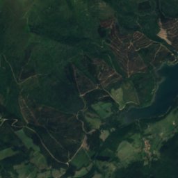
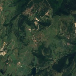
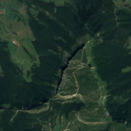
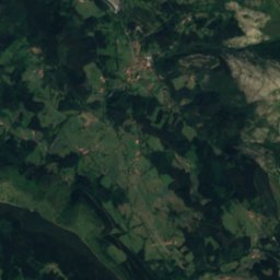
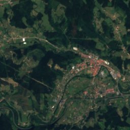
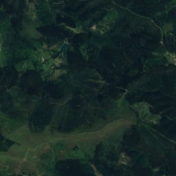
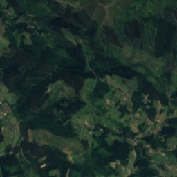
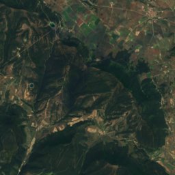
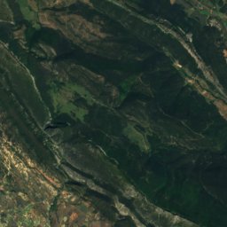
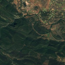
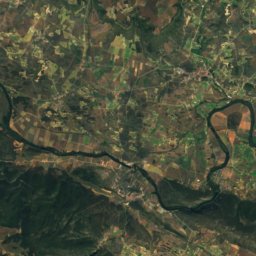
Satellite: Sentinel-2 cloudless 2016 by EOX IT Services GmbH · CC BY 4.0 · Contains modified Copernicus Sentinel data 2016
9.7 km W

Artziniega

River · 181 m
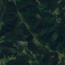
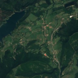
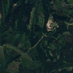
Artziniega
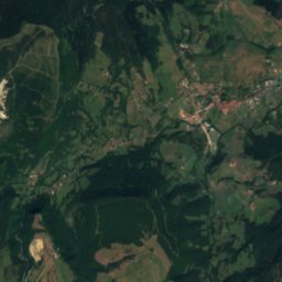
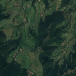
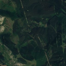
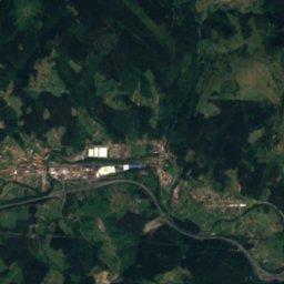
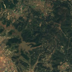
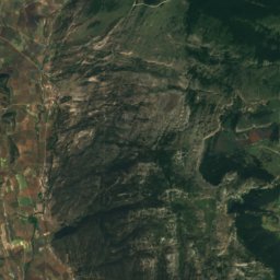
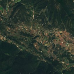
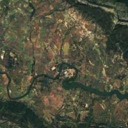
Satellite: Sentinel-2 cloudless 2016 by EOX IT Services GmbH · CC BY 4.0 · Contains modified Copernicus Sentinel data 2016
12 km N

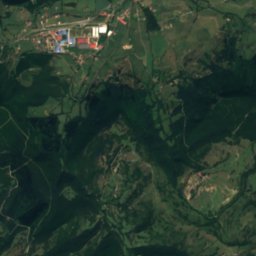
Herrerías

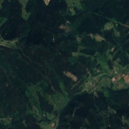
River
Herrerías

Mountains
Gorbea
Photo: Txo · Public domain · Wikimedia CommonsReport this photo · linked, not stored
25 km E

Gorbea

1,481 m · Gorbeia mountain range
Gorbea
Anboto
Photo: Iñaki LLM · CC BY-SA 3.0 · Wikimedia CommonsReport this photo · linked, not stored
39 km E

Anboto

1,333 m · Anboto mountain range
Anboto
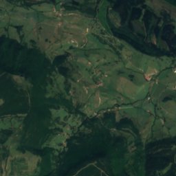
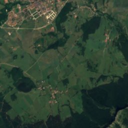
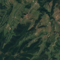
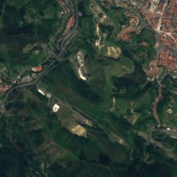
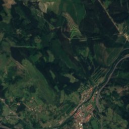
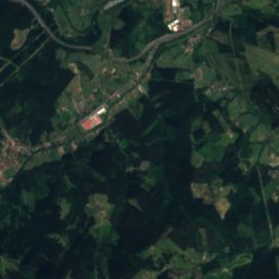
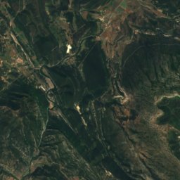
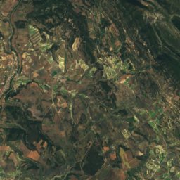
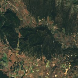
Satellite: Sentinel-2 cloudless 2016 by EOX IT Services GmbH · CC BY 4.0 · Contains modified Copernicus Sentinel data 2016
32 km S

Revillallanos

1,281 m
Revillallanos

Heritage

Escuelas De Llanteno
Photo: Mentxuwiki · CC BY-SA 4.0 · Wikimedia CommonsReport this photo · linked, not stored
2.9 km NW

Escuelas De Llanteno

Basque government heritage site
Escuelas De Llanteno
Urkijo jauregia
Photo: Ebaki · CC BY-SA 4.0 · Wikimedia CommonsReport this photo · linked, not stored
1.7 km E

Urkijo jauregia

Basque government heritage site
Urkijo jauregia
Casa de la Americana
Photo: Florenciac · CC BY-SA 4.0 · Wikimedia CommonsReport this photo · linked, not stored
2.4 km NW

Casa de la Americana

Basque government heritage site
Casa de la Americana

Museums

Ethnographic museum Artziniega
Photo: Zarateman · CC0 · Wikimedia CommonsReport this photo · linked, not stored
5.8 km NW

Ethnographic museum Artziniega

Ethnographic museum
Ethnographic museum Artziniega
Museo Euskal Gastronomia
Photo: Zarateman · CC0 · Wikimedia CommonsReport this photo · linked, not stored
10 km NE

Museo Euskal Gastronomia

Museo Euskal Gastronomia
Museo de Orozko
Photo: Zarateman · CC0 · Wikimedia CommonsReport this photo · linked, not stored
13 km E

Museo de Orozko

Museo de Orozko