
Photo: Kandllh · CC BY-SA 3.0 es · Wikimedia Commons
Murga TowerReport this photo · linked, not stored
Murga TowerReport this photo · linked, not stored

Photo: Zarateman · CC0 · Wikimedia Commons
Palacio Atxa, ArespalditzaReport this photo · linked, not stored
Palacio Atxa, ArespalditzaPalacio Atxa, ArespalditzaReport this photo · linked, not stored

Photo: Itxaso (Tagzania user ID: 1890) · CC BY-SA 4.0 · Wikimedia Commons
Palacio De GuineaReport this photo · linked, not stored
Palacio De GuineaPalacio De GuineaReport this photo · linked, not stored

Photo: Ebaki · CC BY-SA 4.0 · Wikimedia Commons
Arriba 52 baserriaReport this photo · linked, not stored
Arriba 52 baserriaArriba 52 baserriaReport this photo · linked, not stored
 Torre Mariaka
monumentAmurrio, Basque Country
Murga Tower
bien de interés culturalBasque government heritage site
TypemonumentRenaissance
Built–
Best monthsJun–Jul · Sepweather in Amurrio
43.07° N, 3.02° WUTC+2 · Central European Summer Time
When to goAmurrio · weather score
Best timeJun–Jul · Sep
October: high / low20° / 10°
iAbout
Murga Tower in brief
Murga Tower is a monument in Amurrio, Basque Country, Spain.
It holds the designations bien de interés cultural and Basque government heritage site.
The monument is built in the Renaissance style.
For a visit, the weather in Amurrio is best in June, July and September; in October afternoons average 20°.
Facts
- Type
- monument
- Designation
- bien de interés cultural
- Basque government heritage site
- Style
- Renaissance
- Nearest town
- Amurrio
- Region
- Basque Country
- Coordinates
- 43.07366, -3.01660
iiLocation
Where to find it
iiiWhen to visit
Climate guideWeather in Amurrio
Month score for sightseeing
Best Jun–Jul · Sep28
Jan
35
Feb
52
Mar
62
Apr
66
May
73
Jun
71
Jul
69
Aug
75
Sep
67
Oct
45
Nov
29
Dec
ivNearby
All monuments in SpainMore heritage close by
Photo: Itxaso (Tagzania user ID: 1890) · CC BY-SA 4.0 · Wikimedia CommonsReport this photo · linked, not stored
Palacio De Guinea
2.5 km SE
Inventoried Cultural Asset (Basque Autonomous Region)

Satellite: Sentinel-2 cloudless 2016 by EOX IT Services GmbH · CC BY 4.0 · Contains modified Copernicus Sentinel data 2016
Convent and Palace of Quejana
4.6 km W
bien de interés cultural
Around here
Amurrio and around

Nature


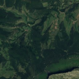
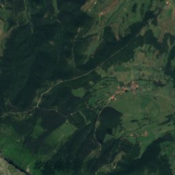
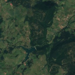
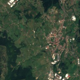
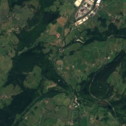
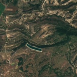
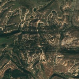
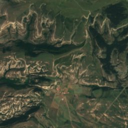
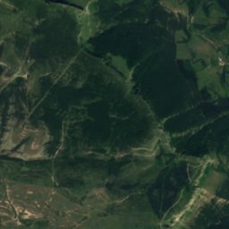
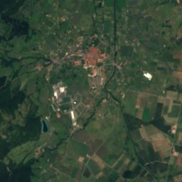
Satellite: Sentinel-2 cloudless 2016 by EOX IT Services GmbH · CC BY 4.0 · Contains modified Copernicus Sentinel data 2016
Cueva del Puente
Cave
Mountains


Heritage
Photo: Itxaso (Tagzania user ID: 1890) · CC BY-SA 4.0 · Wikimedia CommonsReport this photo · linked, not stored
Palacio De Guinea
Inventoried Cultural Asset (Basque Autonomous Region)
Museums
Satellite: Sentinel-2 cloudless 2016 by EOX IT Services GmbH · CC BY 4.0 · Contains modified Copernicus Sentinel data 2016
Museo etnográfico Félix Murga
Ethnographic museum
Satellite: Sentinel-2 cloudless 2016 by EOX IT Services GmbH · CC BY 4.0 · Contains modified Copernicus Sentinel data 2016
Museo del Licor Manuel Acha


Satellite: Sentinel-2 cloudless 2016 by EOX IT Services GmbH · CC BY 4.0 · Contains modified Copernicus Sentinel data 2016
Aresketamendi, Parque de Interpretación de las Energías Renovables
Interpretation centre