Skip to content
Destinations
Weather & climate
Nature
Outdoors
Culture
Events
Sky & live
Marizulo
Photo: Urnietako Udala · CC0 · Wikimedia Commons
MarizuloReport this photo · linked, not stored
Andoain train station viaduct
Photo: Ernestobanpiroa · CC BY-SA 4.0 · Wikimedia Commons
Andoain train station viaductReport this photo · linked, not stored
Andoain train station viaduct
Fábrica de brocas Laborde Hnos., Andoain
Photo: Luistxo eta Marije · CC BY-SA 2.0 · Wikimedia Commons
Fábrica de brocas Laborde Hnos., AndoainReport this photo · linked, not stored
Fábrica de brocas Laborde Hnos., Andoain
Urnieta town hall
Photo: Zarateman · CC0 · Wikimedia Commons
Urnieta town hallReport this photo · linked, not stored
Urnieta town hall
Caserío Berrozpe
Photo: Jaramberri · CC BY-SA 3.0 es · Wikimedia Commons
Caserío BerrozpeReport this photo · linked, not stored
Caserío Berrozpe
archaeological siteUrnieta, Basque Country

Marizulo

group of monuments
Typearchaeological site
Built–
Best monthsJul–Sepweather in Urnieta
43.22° N, 1.98° WUTC+2 · Central European Summer Time
When to goUrnieta · weather score
JanFebMarAprMayJunJulAugSepOctNovDec67October
Best timeJul–Sep
October: high / low20° / 12°
iAbout

Marizulo in brief

Marizulo is an archaeological site in Urnieta, Basque Country, Spain. Cave and archaeological site in Gipuzkoa.

It holds the designation group of monuments.

For a visit, the weather in Urnieta is best in July, August and September; in October afternoons average 20°.

Urnieta: weather and travel guide

Facts

Type
archaeological site
Designation
group of monuments
Nearest town
Urnieta
Region
Basque Country
Coordinates
43.21944, -1.97528
iiLocation

Where to find it

iiiWhen to visit

Weather in Urnieta

Climate guide

Month score for sightseeing

Best Jul–Sep
ivNearby

More heritage close by

All monuments in Spain
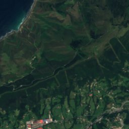
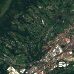
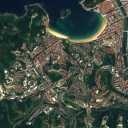
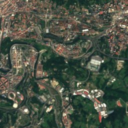
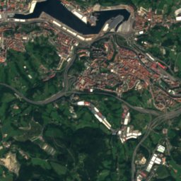
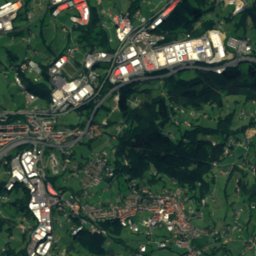
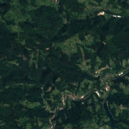
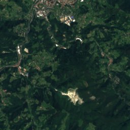
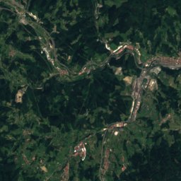
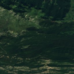
Satellite: Sentinel-2 cloudless 2016 by EOX IT Services GmbH · CC BY 4.0 · Contains modified Copernicus Sentinel data 2016

Eteneta I megalithic complex

2.4 km SE
Monumental ensemble (Basque Autonomous Community)
Eteneta I megalithic complex
Andoain train station viaduct
Photo: Ernestobanpiroa · CC BY-SA 4.0 · Wikimedia CommonsReport this photo · linked, not stored

Andoain train station viaduct

3.0 km W
part of UNESCO World Heritage Site
Andoain train station viaduct
Fábrica de brocas Laborde Hnos., Andoain
Photo: Luistxo eta Marije · CC BY-SA 2.0 · Wikimedia CommonsReport this photo · linked, not stored

Fábrica de brocas Laborde Hnos., Andoain

3.2 km W
Qualified Cultural Asset (EAE)
Fábrica de brocas Laborde Hnos., Andoain
Urnieta town hall
Photo: Zarateman · CC0 · Wikimedia CommonsReport this photo · linked, not stored

Urnieta town hall

3.4 km N
Basque government heritage site
Urnieta town hall
Caserío Berrozpe
Photo: Jaramberri · CC BY-SA 3.0 es · Wikimedia CommonsReport this photo · linked, not stored

Caserío Berrozpe

3.4 km W
Basque government heritage site
Caserío Berrozpe
Church of San Miguel, Urnieta
Photo: Zarateman · CC BY-SA 3.0 · Wikimedia CommonsReport this photo · linked, not stored

Church of San Miguel, Urnieta

3.4 km N
part of UNESCO World Heritage Site
Church of San Miguel, Urnieta
Around here

Urnieta and around

Urnieta
Photo: Joxemai · CC BY-SA 3.0 · Wikimedia CommonsReport this photo · linked, not stored

Urnieta

Basque Country · Spain
Jul–Sepbest months
24°July high
60 maltitude
Urnieta

Nature

Cave of Altxerri
Photo: GipuzkoaKultura · CC BY-SA 2.0 · Wikimedia CommonsReport this photo · linked, not stored
12 km W

Cave of Altxerri

Cave
Cave of Altxerri
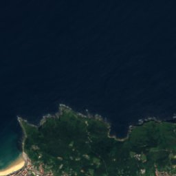
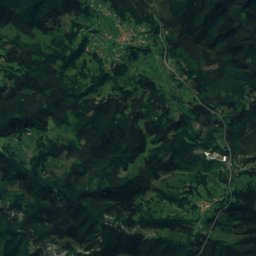
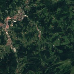
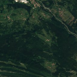
Satellite: Sentinel-2 cloudless 2016 by EOX IT Services GmbH · CC BY 4.0 · Contains modified Copernicus Sentinel data 2016
11 km NE

Oiartzun

River
Oiartzun
Añarbe urtegia
Photo: Ksarasola · CC BY-SA 4.0 · Wikimedia CommonsReport this photo · linked, not stored
9.5 km E

Añarbe urtegia

Lake · 160 m
Añarbe urtegia

Mountains

Beriain
Photo: User:Theklan · CC BY-SA 2.5 · Wikimedia CommonsReport this photo · linked, not stored
39 km S

Beriain

1,493 m · Andia mountain range
Beriain
Ganboa
Photo: Iñaki LLM · CC BY-SA 3.0 · Wikimedia CommonsReport this photo · linked, not stored
27 km S

Ganboa

1,412 m · Aralar mountain range
Ganboa
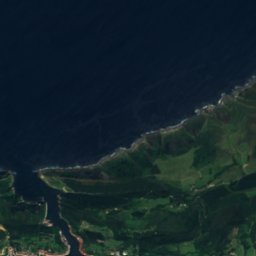
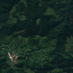
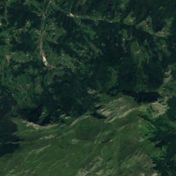
Satellite: Sentinel-2 cloudless 2016 by EOX IT Services GmbH · CC BY 4.0 · Contains modified Copernicus Sentinel data 2016
26 km S

Beoain

1,359 m
Beoain

Heritage

Church of San Miguel, Urnieta
Photo: Zarateman · CC BY-SA 3.0 · Wikimedia CommonsReport this photo · linked, not stored
0.1 km N

Church of San Miguel, Urnieta

part of UNESCO World Heritage Site
Church of San Miguel, Urnieta
Convent of San Agustín, Hernani
Photo: Zarateman · CC0 · Wikimedia CommonsReport this photo · linked, not stored
2.7 km NE

Convent of San Agustín, Hernani

bien de interés cultural
Convent of San Agustín, Hernani
Arco de entrada a la Villa de Hernani
Photo: Zarateman · CC0 · Wikimedia CommonsReport this photo · linked, not stored
2.5 km NE

Arco de entrada a la Villa de Hernani

bien de interés cultural · 1300
Arco de entrada a la Villa de Hernani

Museums

Albaola Itsas Kultur Faktoria
Photo: Euskaldunaa · CC BY-SA 4.0 · Wikimedia CommonsReport this photo · linked, not stored
11 km NE

Albaola Itsas Kultur Faktoria

2010
Albaola Itsas Kultur Faktoria
Agorregi ironworks
Photo: SnOiD · CC BY-SA 4.0 · Wikimedia CommonsReport this photo · linked, not stored
13 km W

Agorregi ironworks

Agorregi ironworks
Aquarium de Donostia-San Sebastián
Photo: Catatine · CC BY-SA 3.0 · Wikimedia CommonsReport this photo · linked, not stored
8.4 km N

Aquarium de Donostia-San Sebastián

Aquarium de Donostia-San Sebastián