




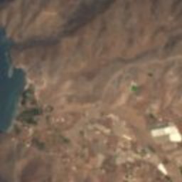





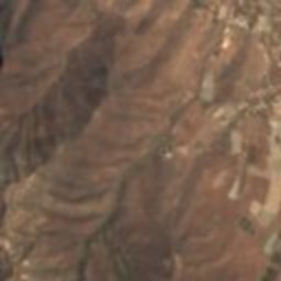




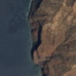
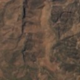




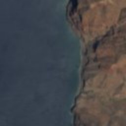
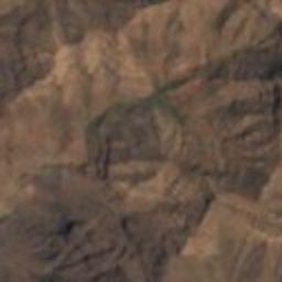








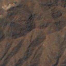
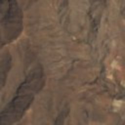
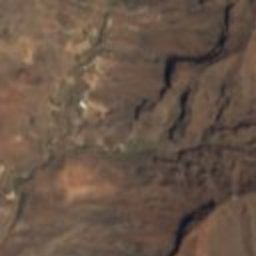

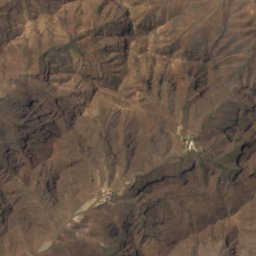
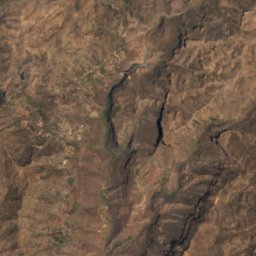
Satellite: Sentinel-2 cloudless 2016 by EOX IT Services GmbH · CC BY 4.0 · Contains modified Copernicus Sentinel data 2016
Special Nature ReserveSan Nicolás, Canary Islands
Güigüi
Special Nature ReserveBuilt 1987
TypeSpecial Nature Reserve
Built1987
Best monthsApr–Junweather in San Nicolás
27.95° N, 15.83° WUTC+1 · Western European Summer Time
Standing for39 years
built 1987today 2026
When to goSan Nicolás · weather score
Best timeApr–Jun
October: high / low27° / 20°
iAbout
Güigüi in brief
Güigüi is a special nature reserve in San Nicolás, Canary Islands, Spain.
It holds the designation Special Nature Reserve.
The special nature reserve dates from 1987.
For a visit, the weather in San Nicolás is best in April, May and June; in October afternoons average 27°.
Facts
- Type
- Special Nature Reserve
- Designation
- Special Nature Reserve
- Built
- 1987
- Nearest town
- San Nicolás
- Region
- Canary Islands
- Coordinates
- 27.94670, -15.82770
iiLocation
Where to find it
iiiWhen to visit
Climate guideWeather in San Nicolás
Month score for sightseeing
Best Apr–Jun91
Jan
87
Feb
92
Mar
94
Apr
98
May
96
Jun
91
Jul
84
Aug
82
Sep
81
Oct
86
Nov
88
Dec
Around here
San Nicolás and around

Nature

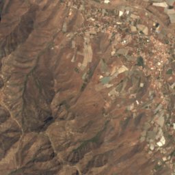
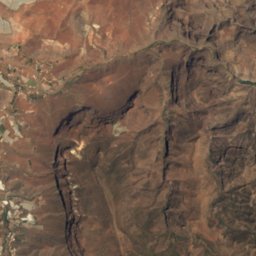
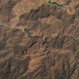
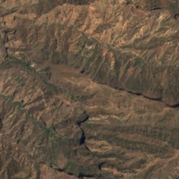
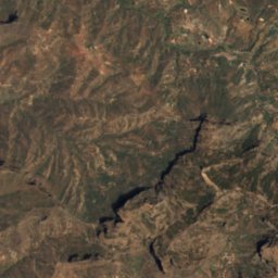
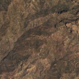
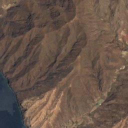
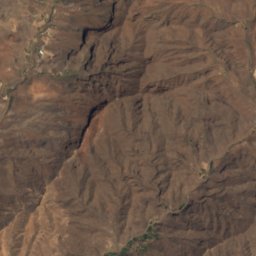
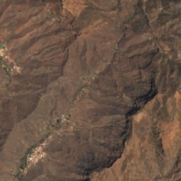
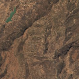
Satellite: Sentinel-2 cloudless 2016 by EOX IT Services GmbH · CC BY 4.0 · Contains modified Copernicus Sentinel data 2016
Presa del Mulato
Lake

Photo: Miguel Diaz Ojeda · CC BY-SA 3.0 es · Wikimedia CommonsReport this photo · linked, not stored
Caves of Valeron
Cave
Mountains


Heritage


Photo: Iglesia_de_la_Concepción_Agaete_2010.jpg: Felix König Church_Agaete.JPG: Felix K · CC BY-SA 3.0 · Wikimedia CommonsReport this photo · linked, not stored
Iglesia de la Concepción, Agaete
bien de interés cultural

Museums












Satellite: Sentinel-2 cloudless 2016 by EOX IT Services GmbH · CC BY 4.0 · Contains modified Copernicus Sentinel data 2016