Satellite: Sentinel-2 cloudless 2016 by EOX IT Services GmbH · CC BY 4.0 · Contains modified Copernicus Sentinel data 2016

Photo: Gustau Erill i Pinyot · CC BY-SA 3.0 · Wikimedia Commons
Sant Esteve de la SargaReport this photo · linked, not stored
Sant Esteve de la SargaSant Esteve de la SargaReport this photo · linked, not stored

Photo: Gustau Erill i Pinyot · CC BY-SA 3.0 · Wikimedia Commons
Castell d'AlsamoraReport this photo · linked, not stored
Castell d'AlsamoraCastell d'AlsamoraReport this photo · linked, not stored

Photo: Gustau Erill i Pinyot · CC BY-SA 3.0 · Wikimedia Commons
Torre d'AmargósReport this photo · linked, not stored
Torre d'AmargósTorre d'AmargósReport this photo · linked, not stored

Photo: Gustau Erill i Pinyot · CC BY-SA 3.0 · Wikimedia Commons
Santa Maria, Puente de MontañanaReport this photo · linked, not stored
Santa Maria, Puente de MontañanaSanta Maria, Puente de MontañanaReport this photo · linked, not stored
defensive wallÀger, Catalonia
Fabregada
Cultural Asset part of the cultural heritage of Catalonia
Typedefensive wall
Built–
Best monthsApr · Sep–Octweather in Àger
42.08° N, 0.75° EUTC+2 · Central European Summer Time
When to goÀger · weather score
Best timeApr · Sep–Oct
October: high / low21° / 8°
iAbout
Fabregada in brief
Fabregada is a defensive wall in Àger, Catalonia, Spain.
It holds the designation Cultural Asset part of the cultural heritage of Catalonia.
For a visit, the weather in Àger is best in April, September and October; in October afternoons average 21°.
iiLocation
Where to find it
iiiWhen to visit
Climate guideWeather in Àger
Month score for sightseeing
Best Apr · Sep–Oct29
Jan
44
Feb
60
Mar
67
Apr
66
May
62
Jun
51
Jul
55
Aug
71
Sep
73
Oct
48
Nov
32
Dec
ivNearby
All monuments in SpainMore heritage close by
Satellite: Sentinel-2 cloudless 2016 by EOX IT Services GmbH · CC BY 4.0 · Contains modified Copernicus Sentinel data 2016
Mare de Déu de Fabregada
under 100 m E
Cultural Asset part of the cultural heritage of Catalonia
Photo: Gustau Erill i Pinyot · CC BY-SA 3.0 · Wikimedia CommonsReport this photo · linked, not stored
Sant Esteve de la Sarga
1.3 km E
Cultural Asset part of the cultural heritage of Catalonia
Photo: Gustau Erill i Pinyot · CC BY-SA 3.0 · Wikimedia CommonsReport this photo · linked, not stored
Castell d'Alsamora
1.7 km W
Cultural Asset of National Interest
Photo: Gustau Erill i Pinyot · CC BY-SA 3.0 · Wikimedia CommonsReport this photo · linked, not stored
Torre d'Amargós
2.7 km N
Cultural Asset part of the cultural heritage of Catalonia
Photo: Gustau Erill i Pinyot · CC BY-SA 3.0 · Wikimedia CommonsReport this photo · linked, not stored
Santa Maria, Puente de Montañana
2.9 km NW
Cultural Asset part of the cultural heritage of Catalonia

Photo: Gustau Erill i Pinyot · CC BY-SA 3.0 · Wikimedia CommonsReport this photo · linked, not stored
Casa pairal de Gaspar de Portolà
3.1 km NE
Cultural Asset part of the cultural heritage of Catalonia
Around here
Àger and around

Nature


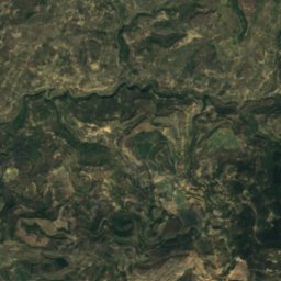
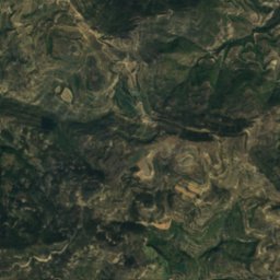
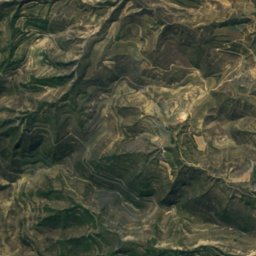
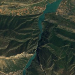
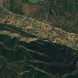
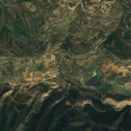
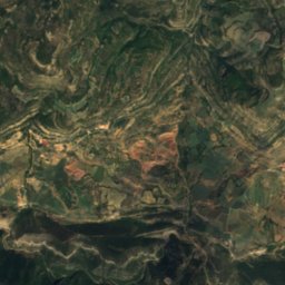
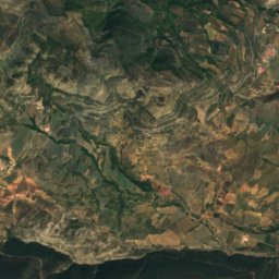
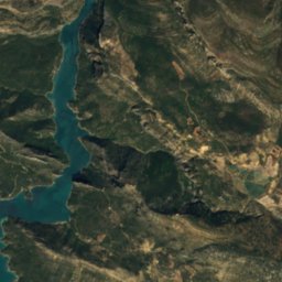
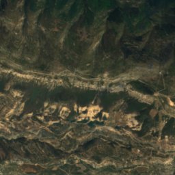
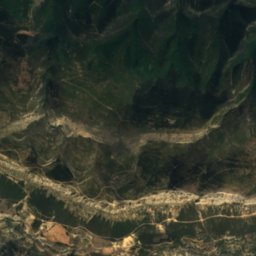
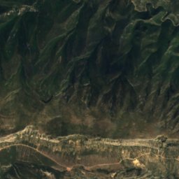
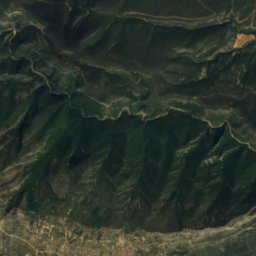
Satellite: Sentinel-2 cloudless 2016 by EOX IT Services GmbH · CC BY 4.0 · Contains modified Copernicus Sentinel data 2016
Graller de Comafaió
Cave · 1,427 m
Mountains


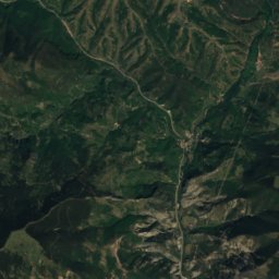
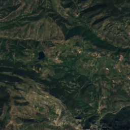
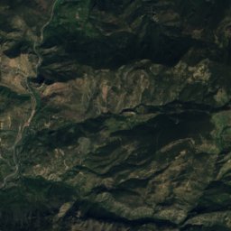
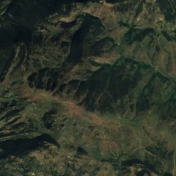
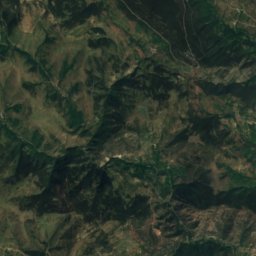
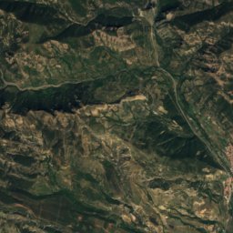
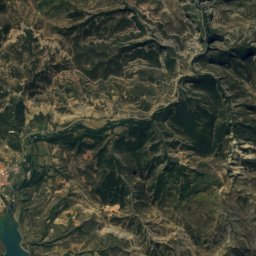
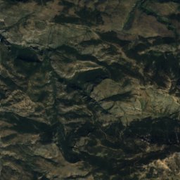
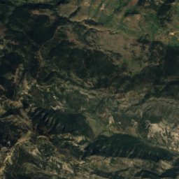
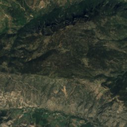
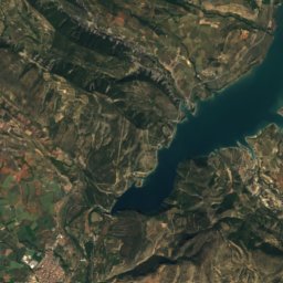
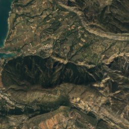
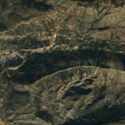
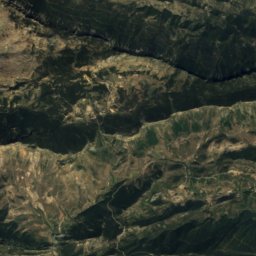
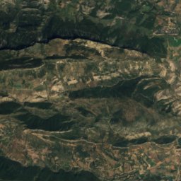
Satellite: Sentinel-2 cloudless 2016 by EOX IT Services GmbH · CC BY 4.0 · Contains modified Copernicus Sentinel data 2016
Bony dels Cóms
1,832 m · serra de la Travessa
Heritage

Castell i col·legiata de Sant Pere d'Àger
Cultural Asset of National Interest · 1000


Casa Parroquial, Àger
Cultural Asset part of the cultural heritage of Catalonia · 1800


