Skip to content
Destinations
Weather & climate
Nature
Outdoors
Culture
Events
Sky & live
Dòrria
Photo: diluvi.com Anna i Adria · CC BY 2.0 · Wikimedia Commons
DòrriaReport this photo · linked, not stored
Cal Roquetes i Cal Pau
Photo: Maite oliva alsina · CC BY-SA 4.0 · Wikimedia Commons
Cal Roquetes i Cal PauReport this photo · linked, not stored
Cal Roquetes i Cal Pau
Església de la Mare de Déu del Carme de Nevà
Photo: EliziR · CC BY-SA 3.0 · Wikimedia Commons
Església de la Mare de Déu del Carme de NevàReport this photo · linked, not stored
Església de la Mare de Déu del Carme de Nevà
Sant Marcel de Planés
Photo: Scs1978 · CC BY-SA 3.0 · Wikimedia Commons
Sant Marcel de PlanésReport this photo · linked, not stored
Sant Marcel de Planés
Cal Jan Pau
Photo: Maite oliva alsina · CC BY-SA 4.0 · Wikimedia Commons
Cal Jan PauReport this photo · linked, not stored
Cal Jan Pau
Catalan historical localityPlanoles, Catalonia

Dòrria

Cultural Asset of National Interestbien de interés cultural
TypeCatalan historical localityvernacular
Built–
Best monthsJun–Jul · Sepweather in Planoles
42.33° N, 2.07° EUTC+1 · Central European Standard Time
When to goPlanoles · weather score
JanFebMarAprMayJunJulAugSepOctNovDec74October
Best timeJun–Jul · Sep
October: high / low17° / 6°
iAbout

Dòrria in brief

Dòrria is a catalan historical locality in Planoles, Catalonia, Spain.

It holds the designations Cultural Asset of National Interest and bien de interés cultural.

The catalan historical locality is built in the vernacular style.

For a visit, the weather in Planoles is best in June, July and September; in October afternoons average 17°.

Planoles: weather and travel guide

Facts

Type
Catalan historical locality
Designation
Cultural Asset of National Interest
bien de interés cultural
Style
vernacular
Nearest town
Planoles
Region
Catalonia
Coordinates
42.33470, 2.06849
iiLocation

Where to find it

iiiWhen to visit

Weather in Planoles

Climate guide

Month score for sightseeing

Best Jun–Jul · Sep
36
Jan
40
Feb
50
Mar
57
Apr
72
May
80
Jun
82
Jul
79
Aug
81
Sep
74
Oct
44
Nov
38
Dec
ivNearby

More heritage close by

All monuments in Spain
Cal Roquetes i Cal Pau
Photo: Maite oliva alsina · CC BY-SA 4.0 · Wikimedia CommonsReport this photo · linked, not stored

Cal Roquetes i Cal Pau

1.4 km S
Cultural Asset part of the cultural heritage of Catalonia
Cal Roquetes i Cal Pau
Església de la Mare de Déu del Carme de Nevà
Photo: EliziR · CC BY-SA 3.0 · Wikimedia CommonsReport this photo · linked, not stored

Església de la Mare de Déu del Carme de Nevà

2.5 km S
Cultural Asset of Local Interest
Església de la Mare de Déu del Carme de Nevà
Sant Marcel de Planés
Photo: Scs1978 · CC BY-SA 3.0 · Wikimedia CommonsReport this photo · linked, not stored

Sant Marcel de Planés

2.9 km SE
Cultural Asset of Local Interest
Sant Marcel de Planés
Cal Jan Pau
Photo: Maite oliva alsina · CC BY-SA 4.0 · Wikimedia CommonsReport this photo · linked, not stored

Cal Jan Pau

2.9 km SE
Cultural Asset part of the cultural heritage of Catalonia
Cal Jan Pau
Can Fosses
Photo: Marc79 · CC BY-SA 4.0 · Wikimedia CommonsReport this photo · linked, not stored

Can Fosses

3.2 km SE
Cultural Asset part of the cultural heritage of Catalonia
Can Fosses
Sant Vicenç de Planoles
Photo: Araceli Merino · CC BY-SA 3.0 · Wikimedia CommonsReport this photo · linked, not stored

Sant Vicenç de Planoles

3.6 km SE
Cultural Asset of Local Interest
Sant Vicenç de Planoles
Around here

Planoles and around

Planoles
Photo: Araceli Merino · CC BY-SA 3.0 · Wikimedia CommonsReport this photo · linked, not stored

Planoles

Catalonia · Spain
Jun–Jul · Sepbest months
26°July high
1,142 maltitude
Planoles

Nature

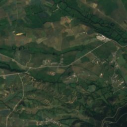
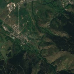
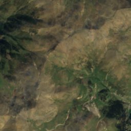
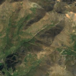
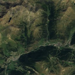
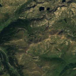
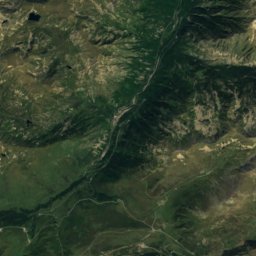
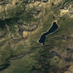
Satellite: Sentinel-2 cloudless 2016 by EOX IT Services GmbH · CC BY 4.0 · Contains modified Copernicus Sentinel data 2016
9.6 km N

Segre

River
Segre
Embassament de Núria
Photo: Till F. Teenck · CC BY-SA 3.0 · Wikimedia CommonsReport this photo · linked, not stored
9.7 km NE

Embassament de Núria

Lake · 1,953 m
Embassament de Núria
Estany de la Font de Baix
Photo: Ssola · CC BY-SA 4.0 · Wikimedia CommonsReport this photo · linked, not stored
11 km E

Estany de la Font de Baix

Lake · 1,458 m
Estany de la Font de Baix

Mountains

Carlit
Photo: Kimdime69 · Public domain · Wikimedia CommonsReport this photo · linked, not stored
31 km NW

Carlit

2,921 m · Carlit Massif
Carlit
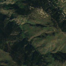
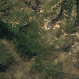
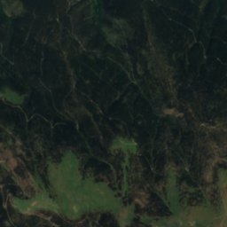
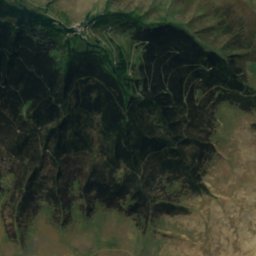
Satellite: Sentinel-2 cloudless 2016 by EOX IT Services GmbH · CC BY 4.0 · Contains modified Copernicus Sentinel data 2016
34 km NW

Puigpedrós

2,915 m · Pyrenees
Puigpedrós
Puigmal
Photo: Jordi Torallas · CC BY-SA 3.0 · Wikimedia CommonsReport this photo · linked, not stored
7.5 km N

Puigmal

2,910 m · Pyrenees
Puigmal

Heritage

Cal Roquetes i Cal Pau
Photo: Maite oliva alsina · CC BY-SA 4.0 · Wikimedia CommonsReport this photo · linked, not stored
2.5 km W

Cal Roquetes i Cal Pau

Cultural Asset part of the cultural heritage of Catalonia · 1668
Cal Roquetes i Cal Pau
Sant Marcel de Planés
Photo: Scs1978 · CC BY-SA 3.0 · Wikimedia CommonsReport this photo · linked, not stored
0.4 km NW

Sant Marcel de Planés

Cultural Asset of Local Interest
Sant Marcel de Planés
Cal Jan Pau
Photo: Maite oliva alsina · CC BY-SA 4.0 · Wikimedia CommonsReport this photo · linked, not stored
0.4 km N

Cal Jan Pau

Cultural Asset part of the cultural heritage of Catalonia
Cal Jan Pau

Museums

Ethnographic Museum of Ripoll
Photo: Enric · CC BY-SA 4.0 · Wikimedia CommonsReport this photo · linked, not stored
15 km SE

Ethnographic Museum of Ripoll

Ethnographic museum · 1928
Ethnographic Museum of Ripoll