
Photo: Falconaumanni · CC BY-SA 3.0 · Wikimedia Commons
CarteiaReport this photo · linked, not stored
CarteiaReport this photo · linked, not stored

Photo: Falconaumanni · CC BY-SA 3.0 · Wikimedia Commons
Torre del RocadilloReport this photo · linked, not stored
Torre del RocadilloTorre del RocadilloReport this photo · linked, not stored

Photo: Falconaumanni · CC BY 3.0 · Wikimedia Commons
Torre de Entre RiosReport this photo · linked, not stored
Torre de Entre RiosTorre de Entre RiosReport this photo · linked, not stored

Photo: George Washington Wilson · Public domain · Wikimedia Commons
San Roque BullringReport this photo · linked, not stored
San Roque BullringSan Roque BullringReport this photo · linked, not stored

Photo: The original uploader was Asterion at English Wikipedia. · CC BY-SA 2.5 · Wikimedia Commons
Iglesia de Santa María La Coronada, San RoqueReport this photo · linked, not stored
Iglesia de Santa María La Coronada, San RoqueIglesia de Santa María La Coronada, San RoqueReport this photo · linked, not stored
ancient cityGuadacorte, Andalusia
Carteia
bien de interés culturalBuilt 939 BC
Typeancient city
Built939 BC
Best monthsMay–Julweather in Guadacorte
36.19° N, 5.41° WUTC+1 · Central European Standard Time
Standing for2,965 years
built 939 BCtoday 2026
When to goGuadacorte · weather score
Best timeMay–Jul
October: high / low23° / 17°
iAbout
Carteia in brief
Carteia is an ancient city in Guadacorte, Andalusia, Spain.
It holds the designation bien de interés cultural.
The ancient city dates from 939 bc.
For a visit, the weather in Guadacorte is best in May, June and July; in October afternoons average 23°.
Facts
- Type
- ancient city
- Designation
- bien de interés cultural
- Built
- 939 BC
- Nearest town
- Guadacorte
- Region
- Andalusia
- Coordinates
- 36.18556, -5.41222
iiLocation
Where to find it
iiiWhen to visit
Climate guideWeather in Guadacorte
Month score for sightseeing
Best May–Jul74
Jan
76
Feb
79
Mar
83
Apr
90
May
94
Jun
85
Jul
81
Aug
85
Sep
80
Oct
78
Nov
77
Dec
ivNearby
All monuments in SpainMore heritage close by
Photo: George Washington Wilson · Public domain · Wikimedia CommonsReport this photo · linked, not stored
San Roque Bullring
3.3 km NE
bien de interés cultural
Photo: The original uploader was Asterion at English Wikipedia. · CC BY-SA 2.5 · Wikimedia CommonsReport this photo · linked, not stored
Iglesia de Santa María La Coronada, San Roque
3.7 km NE
bien de interés cultural

Around here
Guadacorte and around

Nature


Mountains

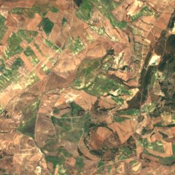
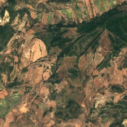
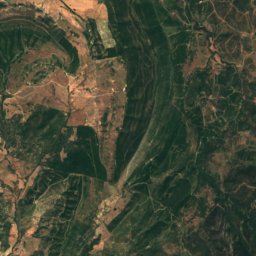
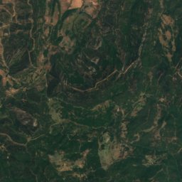
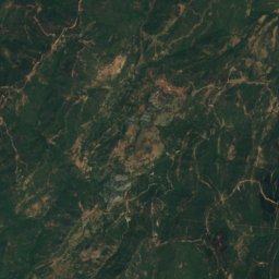
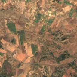
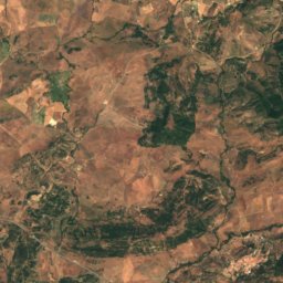
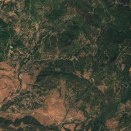
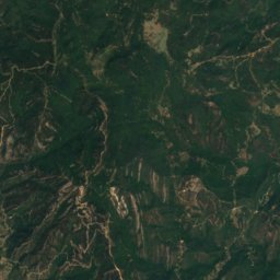
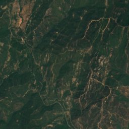
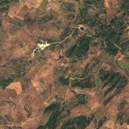
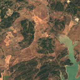
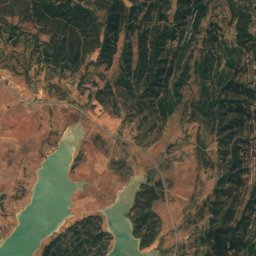
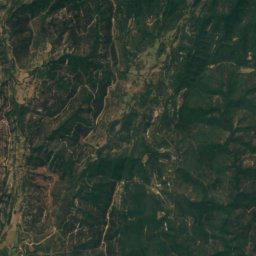
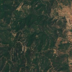
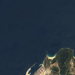
Satellite: Sentinel-2 cloudless 2016 by EOX IT Services GmbH · CC BY 4.0 · Contains modified Copernicus Sentinel data 2016
Pico del Montero
770 m
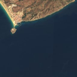





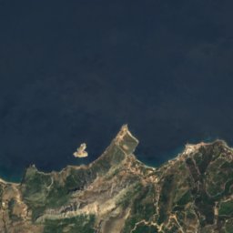

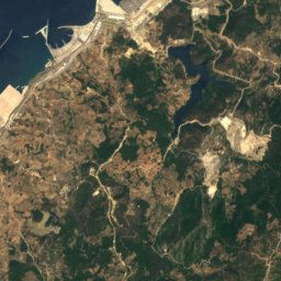
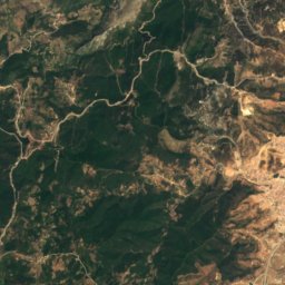
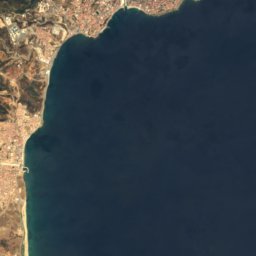

Satellite: Sentinel-2 cloudless 2016 by EOX IT Services GmbH · CC BY 4.0 · Contains modified Copernicus Sentinel data 2016
Monte Anyera
349 m
Heritage

Photo: user:falconaumanni CreativeCommons By-Sa 2.5 Esta obra está bajo una licencia de · CC BY-SA 2.5 es · Wikimedia CommonsReport this photo · linked, not stored
Mercado de abastos, Algeciras
Bien en el Catálogo General del Patrimonio Histórico Andaluz · 1934
Museums
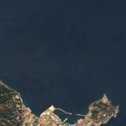
Satellite: Sentinel-2 cloudless 2016 by EOX IT Services GmbH · CC BY 4.0 · Contains modified Copernicus Sentinel data 2016
Enclave Arquelógico Carteia





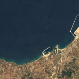
Satellite: Sentinel-2 cloudless 2016 by EOX IT Services GmbH · CC BY 4.0 · Contains modified Copernicus Sentinel data 2016
Museo Cruz Herrera
1975