
Photo: Joandrés · CC BY-SA 4.0 · Wikimedia Commons
Cal ComaladaReport this photo · linked, not stored
Cal ComaladaReport this photo · linked, not stored

Photo: Mel Villalbí · Public domain · Wikimedia Commons
MalgratReport this photo · linked, not stored
MalgratMalgratReport this photo · linked, not stored
 Cal Majà

Photo: Angela Llop · CC BY-SA 2.0 · Wikimedia Commons
Santa Maria de MalgratReport this photo · linked, not stored
Santa Maria de MalgratSanta Maria de MalgratReport this photo · linked, not stored

Photo: Joandrés · CC BY-SA 4.0 · Wikimedia Commons
Cal Moliner, Les OlugesReport this photo · linked, not stored
Cal Moliner, Les OlugesCal Moliner, Les OlugesReport this photo · linked, not stored
houseLes Oluges, Catalonia
Cal Comalada
Cultural Asset of Local InterestBuilt 1800
Typehouse
Built1800
Best monthsApr · Sep–Octweather in Les Oluges
41.71° N, 1.30° EUTC+1 · Central European Standard Time
Standing for226 years
built 1800today 2026
When to goLes Oluges · weather score
Best timeApr · Sep–Oct
October: high / low20° / 9°
iAbout
Cal Comalada in brief
Cal Comalada is a house in Les Oluges, Catalonia, Spain.
It holds the designation Cultural Asset of Local Interest.
The house dates from 1800.
For a visit, the weather in Les Oluges is best in April, September and October; in October afternoons average 20°.
Facts
- Type
- house
- Designation
- Cultural Asset of Local Interest
- Built
- 1800
- Nearest town
- Les Oluges
- Region
- Catalonia
- Coordinates
- 41.70952, 1.30089
iiLocation
Where to find it
iiiWhen to visit
Climate guideWeather in Les Oluges
Month score for sightseeing
Best Apr · Sep–Oct40
Jan
47
Feb
65
Mar
77
Apr
75
May
71
Jun
60
Jul
60
Aug
76
Sep
78
Oct
54
Nov
42
Dec
ivNearby
All monuments in SpainMore heritage close by

Satellite: Sentinel-2 cloudless 2016 by EOX IT Services GmbH · CC BY 4.0 · Contains modified Copernicus Sentinel data 2016
Castell de Malgrat
under 100 m NE
Cultural Asset of National Interest
Around here
Les Oluges and around

Nature
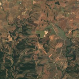
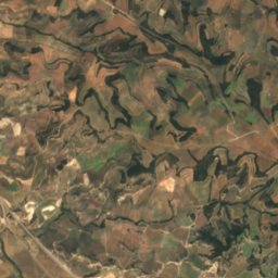
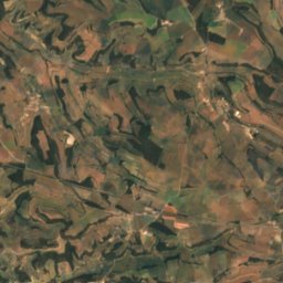
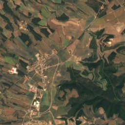
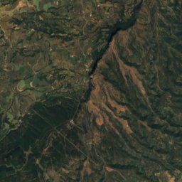
Satellite: Sentinel-2 cloudless 2016 by EOX IT Services GmbH · CC BY 4.0 · Contains modified Copernicus Sentinel data 2016
Pou del diable
Cave
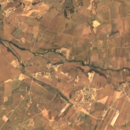
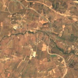
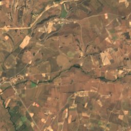
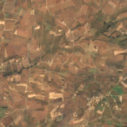
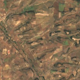
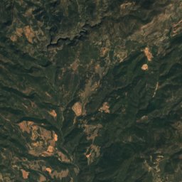
Satellite: Sentinel-2 cloudless 2016 by EOX IT Services GmbH · CC BY 4.0 · Contains modified Copernicus Sentinel data 2016
Cau de la Guineu
Cave
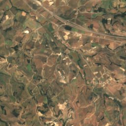
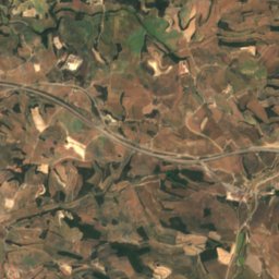
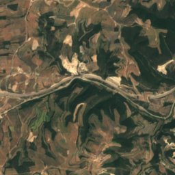
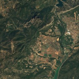
Satellite: Sentinel-2 cloudless 2016 by EOX IT Services GmbH · CC BY 4.0 · Contains modified Copernicus Sentinel data 2016
Cova del Llop, Montmaneu
Cave
Mountains

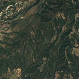
Satellite: Sentinel-2 cloudless 2016 by EOX IT Services GmbH · CC BY 4.0 · Contains modified Copernicus Sentinel data 2016
Tossal de Sant Marc, Peramola
1,080 m
Satellite: Sentinel-2 cloudless 2016 by EOX IT Services GmbH · CC BY 4.0 · Contains modified Copernicus Sentinel data 2016
Roc de les Dues
1,041 m
Heritage


Creu de la Santa Missió de les Oluges
Cultural Asset part of the cultural heritage of Catalonia · 2000


