
Photo: Soniettte · CC BY-SA 4.0 · Wikimedia Commons
Ca l'EstevenetReport this photo · linked, not stored
Ca l'EstevenetReport this photo · linked, not stored

Photo: Soniettte · CC BY-SA 4.0 · Wikimedia Commons
Can Colom, BordilsReport this photo · linked, not stored
Can Colom, BordilsCan Colom, BordilsReport this photo · linked, not stored
 Can Sastre

Photo: Soniettte · CC BY-SA 4.0 · Wikimedia Commons
Can TalladaReport this photo · linked, not stored
Can TalladaCan TalladaReport this photo · linked, not stored

Photo: Soniettte · CC BY-SA 4.0 · Wikimedia Commons
Nucli antic de BordilsReport this photo · linked, not stored
Nucli antic de BordilsNucli antic de BordilsReport this photo · linked, not stored
masiaBordils, Catalonia
Ca l'Estevenet
Cultural Asset part of the cultural heritage of Catalonia
Typemasiavernacular
Built–
Best monthsMar–Mayweather in Bordils
42.04° N, 2.91° EUTC+2 · Central European Summer Time
When to goBordils · weather score
Best timeMar–May
October: high / low23° / 12°
iAbout
Ca l'Estevenet in brief
Ca l'Estevenet is a masia in Bordils, Catalonia, Spain.
It holds the designation Cultural Asset part of the cultural heritage of Catalonia.
The masia is built in the vernacular style.
For a visit, the weather in Bordils is best in March, April and May; in October afternoons average 23°.
iiLocation
Where to find it
iiiWhen to visit
Climate guideWeather in Bordils
Month score for sightseeing
Best Mar–May61
Jan
70
Feb
80
Mar
79
Apr
78
May
72
Jun
62
Jul
60
Aug
75
Sep
78
Oct
78
Nov
67
Dec
ivNearby
All monuments in SpainMore heritage close by
Can Colom, Bordils
under 100 m SE
Cultural Asset part of the cultural heritage of Catalonia
Satellite: Sentinel-2 cloudless 2016 by EOX IT Services GmbH · CC BY 4.0 · Contains modified Copernicus Sentinel data 2016
Sant Esteve de Bordils
0.3 km W
Cultural Asset of National Interest
Nucli antic de Bordils
0.3 km W
Cultural Asset part of the cultural heritage of Catalonia

Photo: Josep Maria Viñolas Esteva · CC BY-SA 4.0 · Wikimedia CommonsReport this photo · linked, not stored
Casa del Dr. Pere Pagès
0.3 km W
Cultural Asset part of the cultural heritage of Catalonia
Around here
Bordils and around

Photo: Catalan Art & Architecture Gallery (Josep Bracons) from Barcelona, Catalonia · CC BY-SA 2.0 · Wikimedia CommonsReport this photo · linked, not stored
Bordils
Catalonia · Spain
Mar–Maybest months
31°July high
45 maltitude
Nature


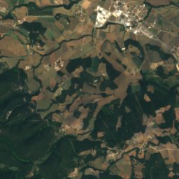
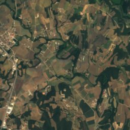
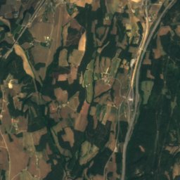
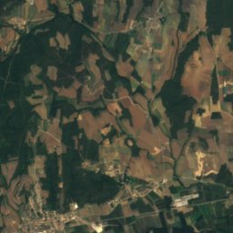
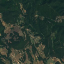
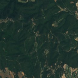
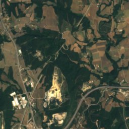
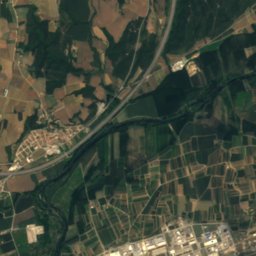
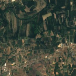
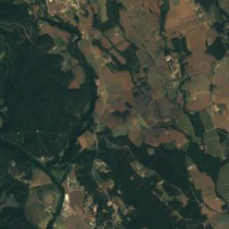
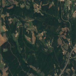
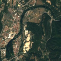
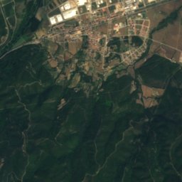
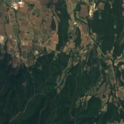
Satellite: Sentinel-2 cloudless 2016 by EOX IT Services GmbH · CC BY 4.0 · Contains modified Copernicus Sentinel data 2016
Pedra Dreta
Cave
Mountains
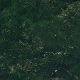
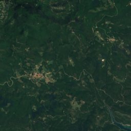
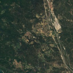
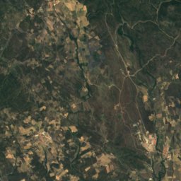
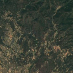
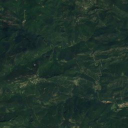
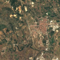
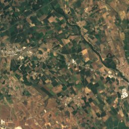
Satellite: Sentinel-2 cloudless 2016 by EOX IT Services GmbH · CC BY 4.0 · Contains modified Copernicus Sentinel data 2016
Puig d'en Clos
1,995 m
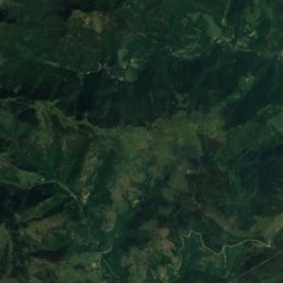
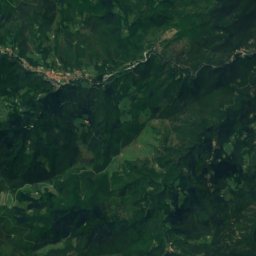
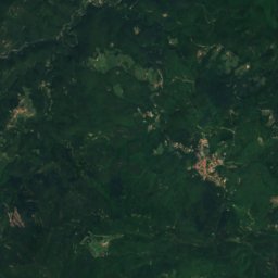
Satellite: Sentinel-2 cloudless 2016 by EOX IT Services GmbH · CC BY 4.0 · Contains modified Copernicus Sentinel data 2016
Puig de Bassegoda
1,373 m · Pyrenees
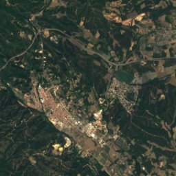
Satellite: Sentinel-2 cloudless 2016 by EOX IT Services GmbH · CC BY 4.0 · Contains modified Copernicus Sentinel data 2016
Sant Miquel de Solterra
1,203 m · Guilleries
Heritage

Photo: Josep Maria Viñolas Esteva · CC BY-SA 4.0 · Wikimedia CommonsReport this photo · linked, not stored
House in carrer Ample, 20
Cultural Asset part of the cultural heritage of Catalonia · 1800
Photo: Josep Maria Viñolas Esteva · CC BY-SA 4.0 · Wikimedia CommonsReport this photo · linked, not stored
Casa del Dr. Pere Pagès
Cultural Asset part of the cultural heritage of Catalonia · 1800

Cal Metge Bosch
Cultural Asset part of the cultural heritage of Catalonia · 1900
Museums
Satellite: Sentinel-2 cloudless 2016 by EOX IT Services GmbH · CC BY 4.0 · Contains modified Copernicus Sentinel data 2016
Camp d'aviació de Celrà
Satellite: Sentinel-2 cloudless 2016 by EOX IT Services GmbH · CC BY 4.0 · Contains modified Copernicus Sentinel data 2016
Museu Raset
Art museum · 2005


