Skip to content
Destinations
Weather & climate
Nature
Outdoors
Culture
Events
Sky & live
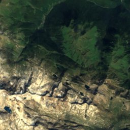
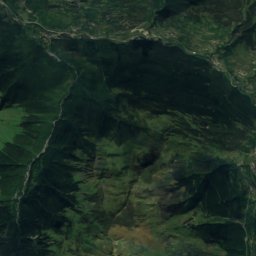
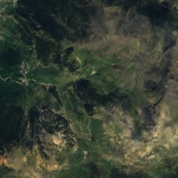
Satellite: Sentinel-2 cloudless 2016 by EOX IT Services GmbH · CC BY 4.0 · Contains modified Copernicus Sentinel data 2016
Bocard de Canejan
Photo: Pere López Brosa · CC BY-SA 4.0 · Wikimedia Commons
Bocard de CanejanReport this photo · linked, not stored
Bocard de Canejan
Sant Joan i Sant Cerní de Tolosa
Photo: Père Igor · CC BY-SA 3.0 · Wikimedia Commons
Sant Joan i Sant Cerní de TolosaReport this photo · linked, not stored
Sant Joan i Sant Cerní de Tolosa
Pont de Pontaut
Photo: Père Igor · CC BY-SA 3.0 · Wikimedia Commons
Pont de PontautReport this photo · linked, not stored
Pont de Pontaut
Canejan
Photo: Père Igor · CC BY-SA 3.0 · Wikimedia Commons
CanejanReport this photo · linked, not stored
Canejan
single entity of populationCanejan, Catalonia

Bordius

Cultural Asset part of the cultural heritage of Catalonia
Typesingle entity of populationvernacular
Built–
Best monthsJul–Sepweather in Canejan
42.82° N, 0.75° EUTC+2 · Central European Summer Time
When to goCanejan · weather score
JanFebMarAprMayJunJulAugSepOctNovDec71October
Best timeJul–Sep
October: high / low19° / 7°
iAbout

Bordius in brief

Bordius is a single entity of population in Canejan, Catalonia, Spain.

It holds the designation Cultural Asset part of the cultural heritage of Catalonia.

The single entity of population is built in the vernacular style.

For a visit, the weather in Canejan is best in July, August and September; in October afternoons average 19°.

Canejan: weather and travel guide

Facts

Type
single entity of population
Designation
Cultural Asset part of the cultural heritage of Catalonia
Style
vernacular
Nearest town
Canejan
Region
Catalonia
Coordinates
42.81963, 0.75256
iiLocation

Where to find it

iiiWhen to visit

Weather in Canejan

Climate guide

Month score for sightseeing

Best Jul–Sep
24
Jan
33
Feb
47
Mar
50
Apr
61
May
69
Jun
75
Jul
74
Aug
75
Sep
71
Oct
39
Nov
28
Dec
ivNearby

More heritage close by

All monuments in Spain
Bocard de Canejan
Photo: Pere López Brosa · CC BY-SA 4.0 · Wikimedia CommonsReport this photo · linked, not stored

Bocard de Canejan

2.3 km NW
Cultural Asset part of the cultural heritage of Catalonia
Bocard de Canejan
Sant Joan i Sant Cerní de Tolosa
Photo: Père Igor · CC BY-SA 3.0 · Wikimedia CommonsReport this photo · linked, not stored

Sant Joan i Sant Cerní de Tolosa

2.4 km NW
Cultural Asset part of the cultural heritage of Catalonia
Sant Joan i Sant Cerní de Tolosa
Pont de Pontaut
Photo: Père Igor · CC BY-SA 3.0 · Wikimedia CommonsReport this photo · linked, not stored

Pont de Pontaut

2.5 km NW
Cultural Asset part of the cultural heritage of Catalonia
Pont de Pontaut
Canejan
Photo: Père Igor · CC BY-SA 3.0 · Wikimedia CommonsReport this photo · linked, not stored

Canejan

2.5 km NW
Cultural Asset part of the cultural heritage of Catalonia
Canejan
Teresa's Cemetery
Photo: Alberto-g-rovi · CC BY 3.0 · Wikimedia CommonsReport this photo · linked, not stored

Teresa's Cemetery

2.9 km NW
Cultural Asset of Local Interest
Teresa's Cemetery
Castèth de Les
Photo: Père Igor · CC BY-SA 3.0 · Wikimedia CommonsReport this photo · linked, not stored

Castèth de Les

3.0 km W
Cultural Asset of National Interest
Castèth de Les
Around here

Canejan and around

Canejan
Photo: Père Igor · CC BY-SA 3.0 · Wikimedia CommonsReport this photo · linked, not stored

Canejan

Catalonia · Spain
Jul–Sepbest months
25°July high
905 maltitude
Canejan

Nature

Étang d'Araing
Photo: Sébastien BOULET · Public domain · Wikimedia CommonsReport this photo · linked, not stored
11 km E

Étang d'Araing

Lake · 1,909 m
Étang d'Araing
Long de Liat Lake
Photo: Aimaras · CC BY-SA 4.0 · Wikimedia CommonsReport this photo · linked, not stored
11 km E

Long de Liat Lake

Lake · 2,136 m
Long de Liat Lake
Saut deth Pish
Photo: Isidre blanc · CC BY-SA 3.0 · Wikimedia CommonsReport this photo · linked, not stored
10 km SE

Saut deth Pish

Waterfall · 1,600 m
Saut deth Pish

Mountains

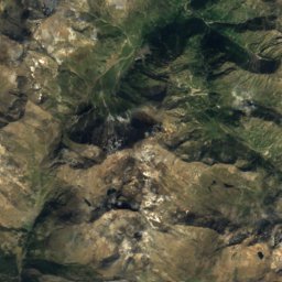
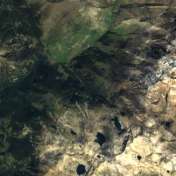
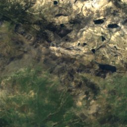
Satellite: Sentinel-2 cloudless 2016 by EOX IT Services GmbH · CC BY 4.0 · Contains modified Copernicus Sentinel data 2016
24 km S

Aneto

3,404 m · Macizo de la Maladeta
Aneto
Pico Posets
Photo: Pacopac · CC BY-SA 4.0 · Wikimedia CommonsReport this photo · linked, not stored
32 km SW

Pico Posets

3,369 m · Posets Massif
Pico Posets
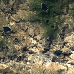
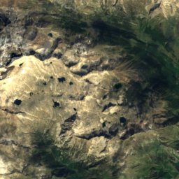
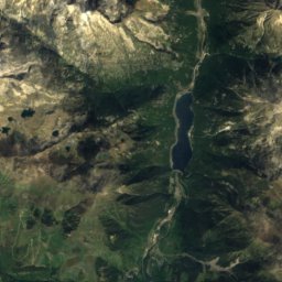
Satellite: Sentinel-2 cloudless 2016 by EOX IT Services GmbH · CC BY 4.0 · Contains modified Copernicus Sentinel data 2016
23 km S

Punta d'Astorg

3,355 m · Macizo de la Maladeta
Punta d'Astorg

Heritage

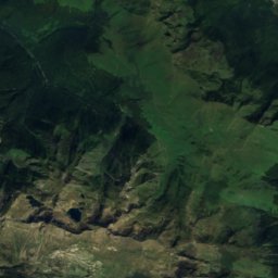
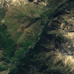
Satellite: Sentinel-2 cloudless 2016 by EOX IT Services GmbH · CC BY 4.0 · Contains modified Copernicus Sentinel data 2016
0.2 km N

Canejan

Cultural Asset part of the cultural heritage of Catalonia
Canejan
Bausen
Photo: Alberto-g-rovi · CC BY-SA 4.0 · Wikimedia CommonsReport this photo · linked, not stored
1.8 km W

Bausen

Cultural Asset part of the cultural heritage of Catalonia
Bausen
Teresa's Cemetery
Photo: Alberto-g-rovi · CC BY 3.0 · Wikimedia CommonsReport this photo · linked, not stored
1.4 km W

Teresa's Cemetery

Cultural Asset of Local Interest · 1916
Teresa's Cemetery

Museums

Musée du Pays de Luchon
Photo: Patrice Bon · CC0 · Wikimedia CommonsReport this photo · linked, not stored
13 km SW

Musée du Pays de Luchon

Musée du Pays de Luchon