




























Satellite: Sentinel-2 cloudless 2016 by EOX IT Services GmbH · CC BY 4.0 · Contains modified Copernicus Sentinel data 2016

Photo: Hansi_2010 · CC BY-SA 3.0 · Wikimedia Commons
Fort of Yebel Ányera, CeutaReport this photo · linked, not stored
Fort of Yebel Ányera, CeutaFort of Yebel Ányera, CeutaReport this photo · linked, not stored

Photo: CarlosVdeHabsburgo · CC BY-SA 4.0 · Wikimedia Commons
Fort of Isabel II, CeutaReport this photo · linked, not stored
Fort of Isabel II, CeutaFort of Isabel II, CeutaReport this photo · linked, not stored

Photo: Claudiamg16 · CC BY-SA 4.0 · Wikimedia Commons
Torre de Francisco de AsísReport this photo · linked, not stored
Torre de Francisco de AsísTorre de Francisco de AsísReport this photo · linked, not stored

Photo: Xemenendura · CC BY-SA 3.0 · Wikimedia Commons
Torre MendizábalReport this photo · linked, not stored
Torre MendizábalTorre MendizábalReport this photo · linked, not stored
archaeological siteBenzú, Ceuta
Benzú cave
bien de interés cultural
Typearchaeological site
Built–
Best monthsMay–Julweather in Benzú
35.91° N, 5.38° WUTC+1 · Central European Standard Time
When to goBenzú · weather score
Best timeMay–Jul
October: high / low23° / 18°
iAbout
Benzú cave in brief
Benzú cave is an archaeological site in Benzú, Ceuta, Spain.
It holds the designation bien de interés cultural.
For a visit, the weather in Benzú is best in May, June and July; in October afternoons average 23°.
iiLocation
Where to find it
iiiWhen to visit
Climate guideWeather in Benzú
Month score for sightseeing
Best May–Jul71
Jan
72
Feb
77
Mar
82
Apr
89
May
98
Jun
88
Jul
85
Aug
86
Sep
79
Oct
76
Nov
75
Dec
ivNearby
All monuments in SpainMore heritage close by
Satellite: Sentinel-2 cloudless 2016 by EOX IT Services GmbH · CC BY 4.0 · Contains modified Copernicus Sentinel data 2016
Tower of Aranguren
1.0 km SE
bien de interés cultural
Satellite: Sentinel-2 cloudless 2016 by EOX IT Services GmbH · CC BY 4.0 · Contains modified Copernicus Sentinel data 2016
Torre de Piniés
3.5 km S
bien de interés cultural
Around here
Benzú and around
Nature









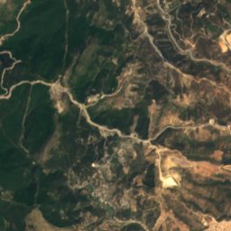
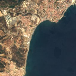


Satellite: Sentinel-2 cloudless 2016 by EOX IT Services GmbH · CC BY 4.0 · Contains modified Copernicus Sentinel data 2016
Salto del Caballo
Waterfall
Mountains

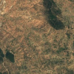
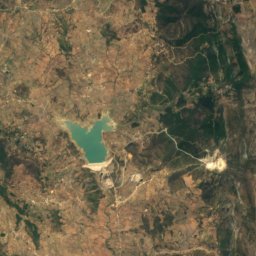
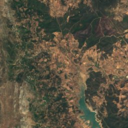
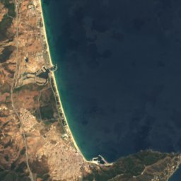

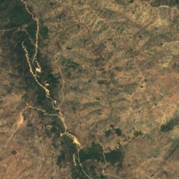
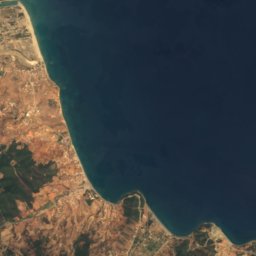
Satellite: Sentinel-2 cloudless 2016 by EOX IT Services GmbH · CC BY 4.0 · Contains modified Copernicus Sentinel data 2016
Jebel Darsa
541 m · Rif mountains
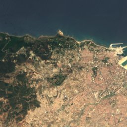
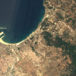
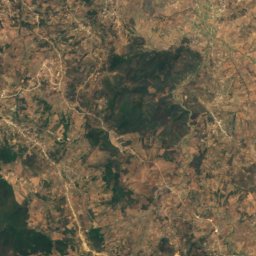
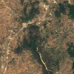
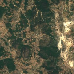
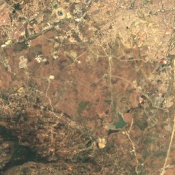
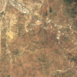
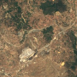
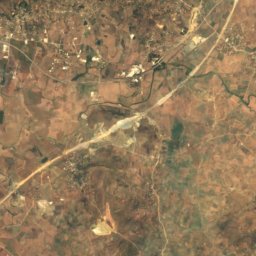
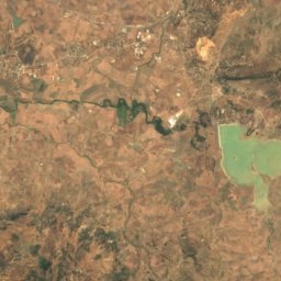
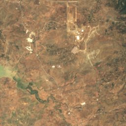
Satellite: Sentinel-2 cloudless 2016 by EOX IT Services GmbH · CC BY 4.0 · Contains modified Copernicus Sentinel data 2016
Jebel Zem Zem
435 m · Atlas Mountains
Heritage
Satellite: Sentinel-2 cloudless 2016 by EOX IT Services GmbH · CC BY 4.0 · Contains modified Copernicus Sentinel data 2016
Fort of Isabel II, Ceuta
bien de interés cultural



Satellite: Sentinel-2 cloudless 2016 by EOX IT Services GmbH · CC BY 4.0 · Contains modified Copernicus Sentinel data 2016
Tower of Aranguren
bien de interés cultural
Museums

Military museographic collection of the Legion
Military museum · 1940


Photo: Mario Sánchez Bueno from Ceuta, España · CC BY-SA 2.0 · Wikimedia CommonsReport this photo · linked, not stored

Museo Histórico Militar de Ceuta
Military museum