
Photo: Oriolsoleamiell · CC BY-SA 4.0 · Wikimedia Commons
BenòsReport this photo · linked, not stored
BenòsReport this photo · linked, not stored

Photo: Isidre blanc · CC BY-SA 4.0 · Wikimedia Commons
Sant Martí de BenósReport this photo · linked, not stored
Sant Martí de BenósSant Martí de BenósReport this photo · linked, not stored
 Begós

Photo: amador (talk) · CC BY-SA 3.0 · Wikimedia Commons
Es BòrdesReport this photo · linked, not stored
Es BòrdesEs BòrdesReport this photo · linked, not stored

Photo: Jordiferrer · CC BY-SA 3.0 · Wikimedia Commons
Mare de Déu del Roser de les BordesReport this photo · linked, not stored
Mare de Déu del Roser de les BordesMare de Déu del Roser de les BordesReport this photo · linked, not stored
single entity of populationEs Bòrdes, Catalonia
Benòs
Cultural Asset part of the cultural heritage of Catalonia
Typesingle entity of populationvernacular
Built–
Best monthsJul–Sepweather in Es Bòrdes
42.74° N, 0.73° EUTC+2 · Central European Summer Time
When to goEs Bòrdes · weather score
Best timeJul–Sep
October: high / low19° / 7°
iAbout
Benòs in brief
Benòs is a single entity of population in Es Bòrdes, Catalonia, Spain.
It holds the designation Cultural Asset part of the cultural heritage of Catalonia.
The single entity of population is built in the vernacular style.
For a visit, the weather in Es Bòrdes is best in July, August and September; in October afternoons average 19°.
iiLocation
Where to find it
iiiWhen to visit
Climate guideWeather in Es Bòrdes
Month score for sightseeing
Best Jul–Sep24
Jan
32
Feb
46
Mar
49
Apr
62
May
71
Jun
74
Jul
73
Aug
75
Sep
71
Oct
38
Nov
28
Dec
ivNearby
All monuments in SpainMore heritage close by
Sant Martí de Benós
under 100 m S
Cultural Asset part of the cultural heritage of Catalonia
Satellite: Sentinel-2 cloudless 2016 by EOX IT Services GmbH · CC BY 4.0 · Contains modified Copernicus Sentinel data 2016
Çò des de Socasau
0.6 km E
Cultural Asset part of the cultural heritage of Catalonia
Satellite: Sentinel-2 cloudless 2016 by EOX IT Services GmbH · CC BY 4.0 · Contains modified Copernicus Sentinel data 2016
Sant Roc de Begós
0.6 km E
Cultural Asset part of the cultural heritage of Catalonia
Mare de Déu del Roser de les Bordes
0.8 km W
Cultural Asset part of the cultural heritage of Catalonia
Around here
Es Bòrdes and around
Nature


Mountains
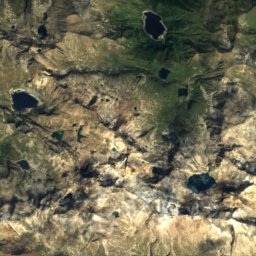
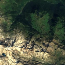
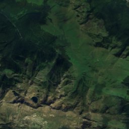
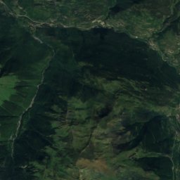
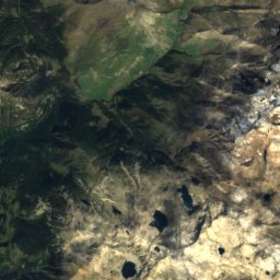
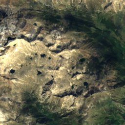
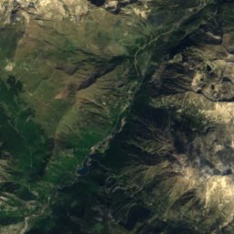
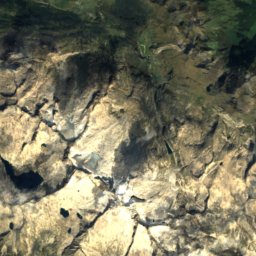
Satellite: Sentinel-2 cloudless 2016 by EOX IT Services GmbH · CC BY 4.0 · Contains modified Copernicus Sentinel data 2016
Aneto
3,404 m · Macizo de la Maladeta

Satellite: Sentinel-2 cloudless 2016 by EOX IT Services GmbH · CC BY 4.0 · Contains modified Copernicus Sentinel data 2016
Punta d'Astorg
3,355 m · Macizo de la Maladeta
Heritage


Satellite: Sentinel-2 cloudless 2016 by EOX IT Services GmbH · CC BY 4.0 · Contains modified Copernicus Sentinel data 2016
Es Bòrdes
Cultural Asset part of the cultural heritage of Catalonia


Çò des de Guilhem
Cultural Asset part of the cultural heritage of Catalonia · 1900


